Copper
3. Chitina R. to Gulf of Alaska(Lower Copper)
| Difficulty | II |
| Length | 115 mi |
| Avg Gradient | 4 fpm |
| Reach Info Last Updated | June 22, 2004 |
This is a great multiday trip on a very big and fast-moving river. Most take-out at the highway
bridge outside Cordova although it is possible to continue through the Copper River Delta and out into
the Gulf of Alaska if you're prepared for sea kayaking. A railroad once ran parrallel to the river but it
has since been removed. There is continued talk of completing a road link that would connect Cordova
to the rest of Alaska's road network. The environmental issues and the signifcant cost of maintaining a
road along this river have so far kept it from being built.
For a longer journey you can begin your trip on the [Middle Copper](http://www.americanwhitewater.org/
rivers/id/2501/) or [Upper Copper](http://www.americanwhitewater.org/content/River/view/river-detail/
2962/). Alternatively, you could also start your run on the [Chitina](http://
www.americanwhitewater.org/content/River/view/river-detail/9/) and it's tributaries that extend up into the St.
Elias Mountains. Don't confuse this run with the [Iliamna Copper](http://www.americanwhitewater.org/
rivers/id/12/), which is 600 miles to the West.
Additional Information
Check out Jim Strutz's online guide to the [Copper River](http://www.kck.org/KCKWEB/RiverReports/
JimSCopperRiver.htm) on the Knik Canoers and Kayakers [website](http://
www.kck.org/).
The description in Embick's guide, Fast and Cold, includes a description of the run and also some
interesting historical background.
Jul 15, 2026
Couldn't figure out how to add this to the Flow tab.
Copper R at Million Dollar Bridge NR Cordova AK - USGS Water Data for the Nation
Jul 1, 2026
We had a great trip, putting in at Chitina on July 1. Water was lower than usual, dropping to 143,000 cfs. We have always stayed 'hard right' to float down to the takeout at Flag Point. The flows have been moving away from those channels. I've created a page with a trip report on what we found: Copper River Trip Report – Pete Tryon
Feb 9, 2018
Almost to Cordova!
Feb 9, 2018
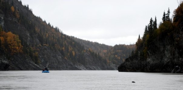
Seals in Woods Canyon downstream of Chitna
Oct 3, 2013
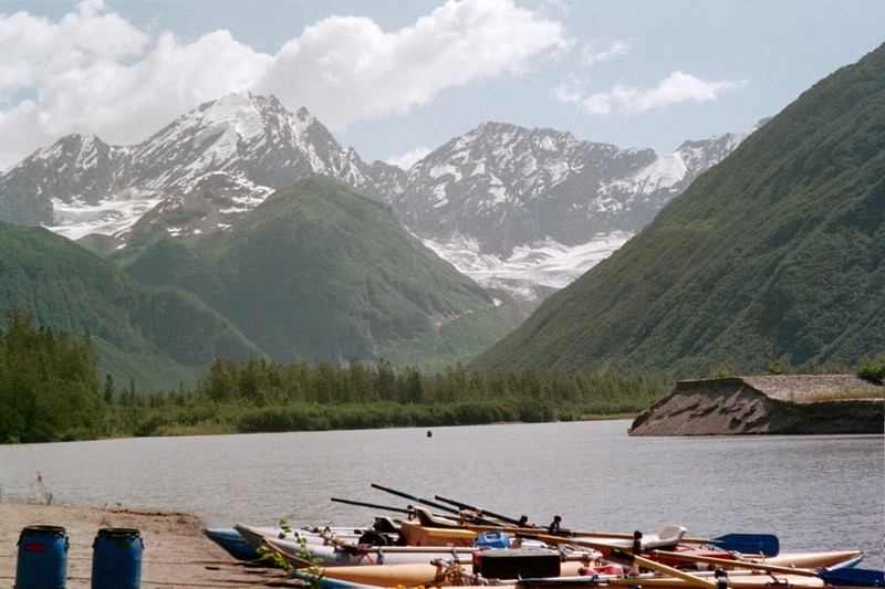
It's a great camp, at the foot of the LaGorce Glacier valley. Challenge: hike to the foot of the glacier!
Jan 1, 1900
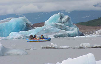
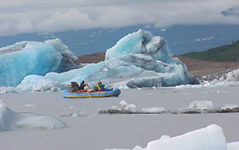
Rowing among the freshly calved icebergs near the face of Miles Glacier on Miles lake on the Copper River. (9/10ths of the icebergs are submerged)