Payette, N. Fork
5. Smiths Ferry to Banks(The North Fork)
| Difficulty | V |
| Length | 16 mi |
| Avg Gradient | 110 fpm |
| Gauge | Nf Payette River Nr Banks Id |
| Flow Rate as of 55 minutes | 1410 cfslow runnable |
| Reach Info Last Updated | July 4, 2022 |
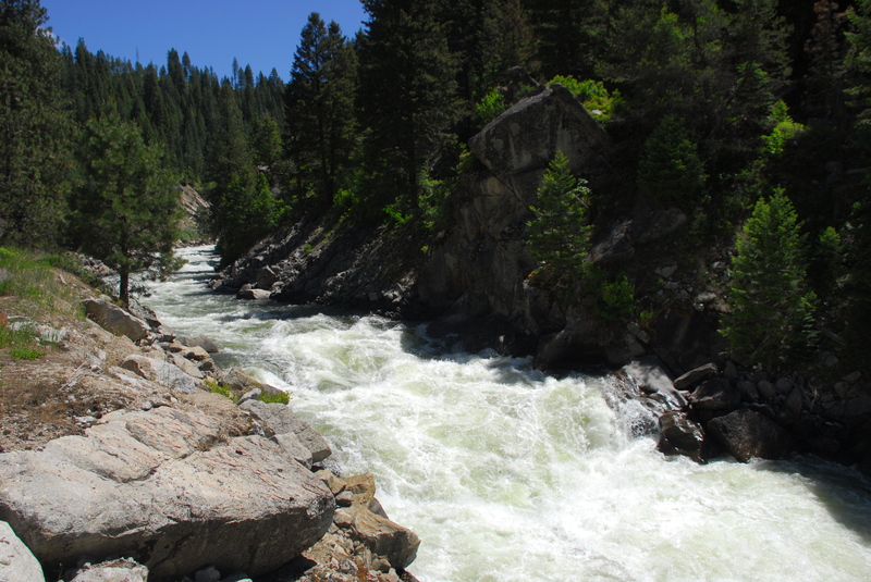
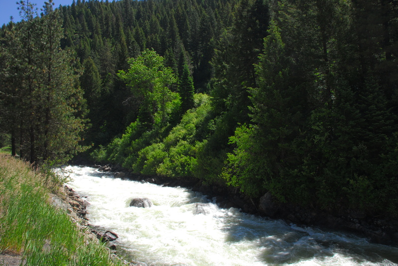
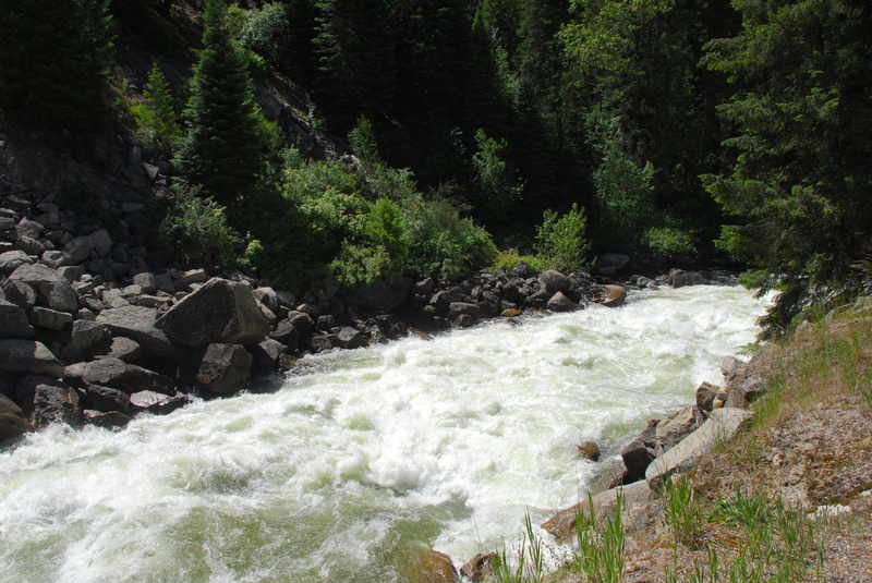
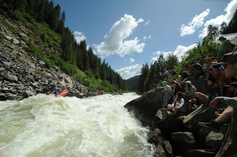
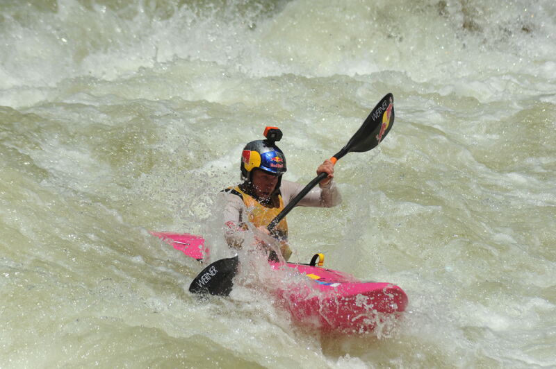
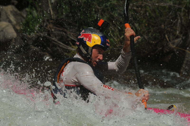
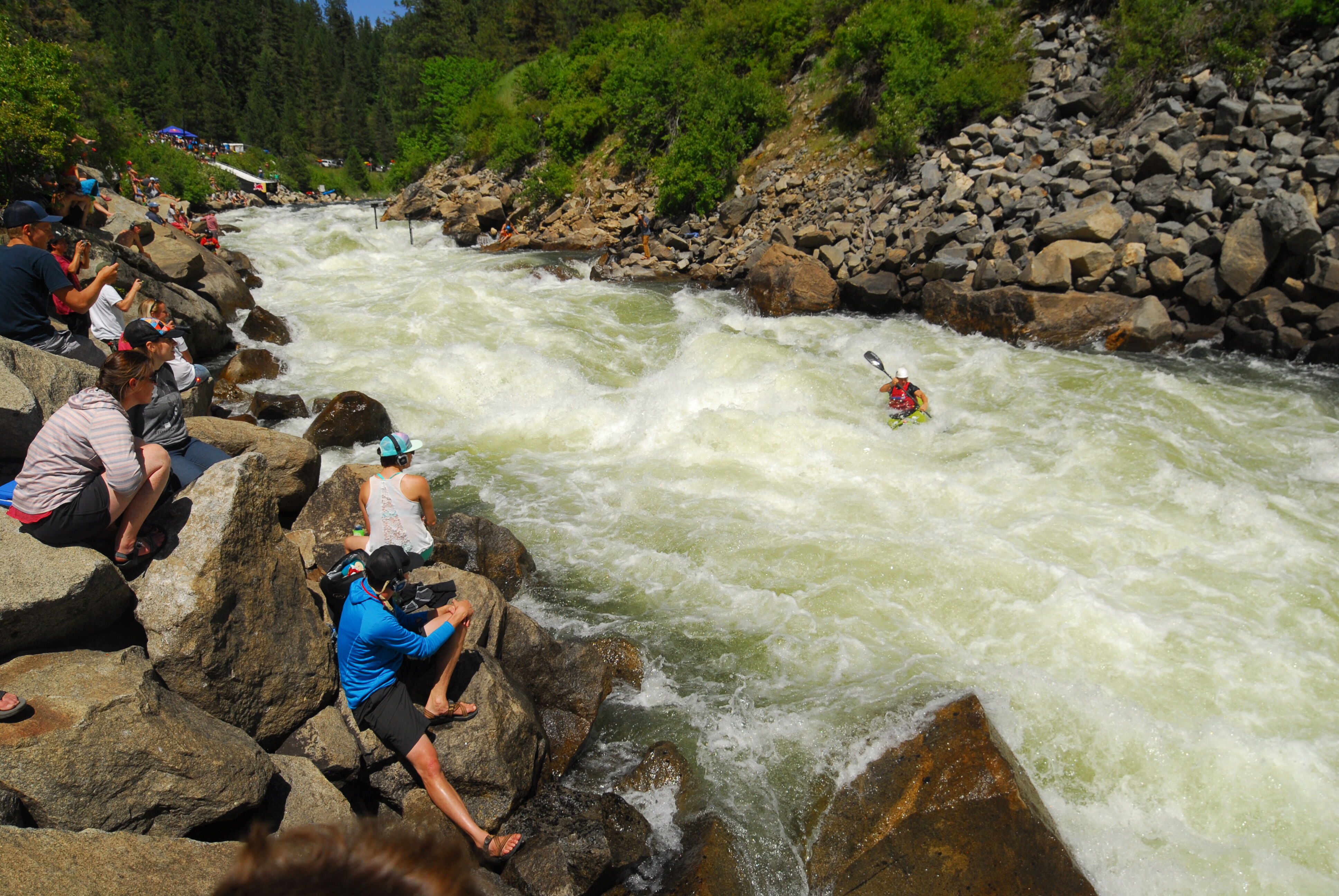
This section of the North Fork of the Payette is the 16 miles above Banks and is considered big-water Class V. For the past several years it has served as the site of the North Fork Championship, regarded by many as the most challenging whitewater competition in the world.
Paddling on the North Fork begin in 1975 when local boaters Roger Hazlewood, Keith Taylor, and Tom Murphy astounded everyone by becoming the first to run the final two and a half miles of the North Fork. In 1977, Idaho’s Rob Lesser, Kentucky’s Bob Walker, Dennis Whitehouse, and Bob Letter, and the “Crunch Bunch” negotiated the entire run for the first time.
Soon after the river was recognized as a unique whitewater resource that challenged the world’s most accomplished paddlers, the hydropower threats emerged. Idaho Power Company sought to dewater the North Fork for hydropower in the late 1970s. When they ceased their efforts in 1986, Boise’s infamous billionaire and potato king J.R. Simplot launched his own effort to dewater the river followed by Gem Irrigation District. In response, Friends of the Payette and then Idaho Rivers United formed to protect the river. The Conservation Alliance issued their first grant for $40,000 to fund this effort that was ultimately successful when Idaho Governor Cecil Andrus signed the first version of the Payette River Plan in 1991; this plan protected the Payette River system from new dams and hydropower development by establishing the river as a state “protected river.” The ultimate outcome exceeded the expectations of Rob Lesser and Pete Skinner who penned an article for a 1979 issue of the American Whitewater Journal hoping we could secure two weekend releases a month as mitigation for a hydropower development that seemed all but certain to dewater the river. Today the river flows throughout the year and attracts paddlers from around the world who come to enjoy a true class V classic.
The entire North Fork run is parallel to Highway 55 an
...The standard put-in for the top of the run is Highway 55 mile 94.6.
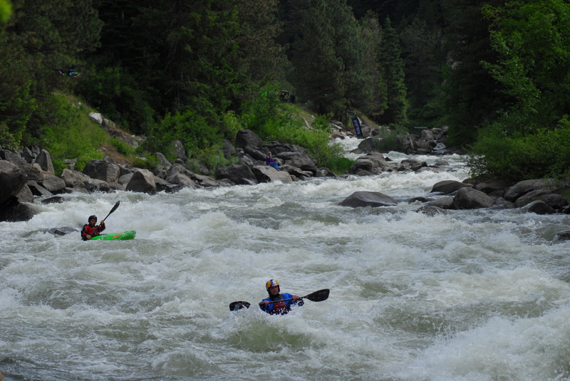
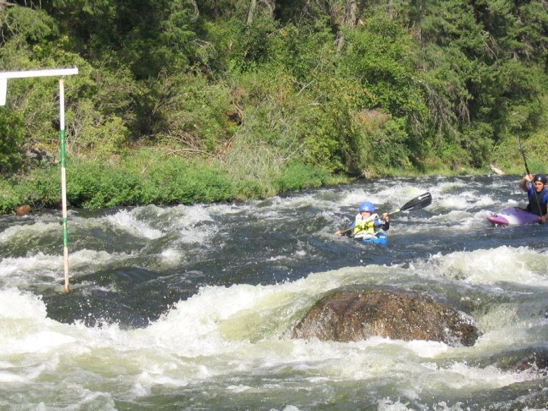
Visible from pullouts along Highway 55 between Big Eddy Campground (mile 89.9) and mile 90.4. This rapid is the traditional site of qualifying races for the North Fork Championship held each June.
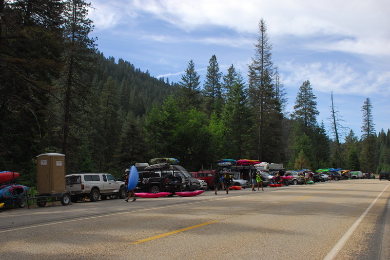
Access at the bottom of S-Turn Rapid located at Highway 55 mile 89.9. This is a good place to camp for running laps on S-Turn Rapid.
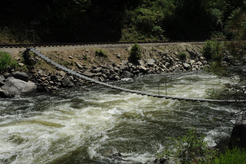
Foot Bridge Access at Highway 55 mile 89.2 and a put-in for the Middle Five.
There are 3 standard lines:
Stay hard left thru main holes, then back to RR.(easiest line)
Ride the diagonal wave from Right to left above big hole, then back to RR..
Drive hard across diagonal wave, stay right around the two main holes.
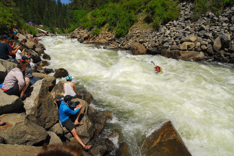
The signature rapid on the North Fork Payette, and the most challenging, is the site of the North Fork Championship. The rapid is visible from the pullout at Highway 55 mile 86.4.
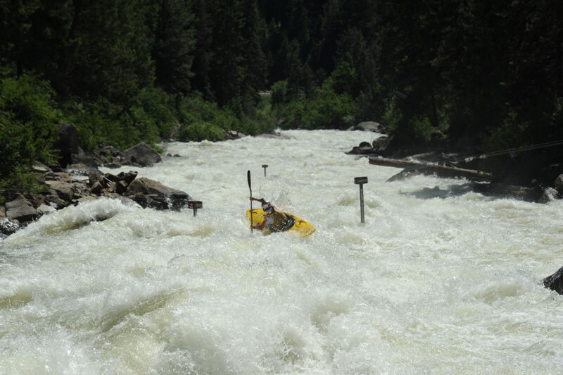
With 18 holes and more, the Golf Course begins just downstream of Jacob's Ladder and across from Swinging Bridge Campground at Highway 55 mile 86.3.

Where the river takes a hard bend to the left away from the road at Highway 55 mile 85.0.
The sequence of rapids that make up Jaws is difficult to scout and not right along the road but near Highway 55 mile 84.5.
This is the access below Jacob's Ladder and the Golf Course that allows you to paddle the Lower 7 that adds Screaming Left and Jaws to the Lower 5. The access is from the large pull-out at Highway 55 mile 85.3.
This is start of the run known as the Lower Five that is accessed from the pull out at Highway 55 mile 83.8. This puts you in just above Hounds Tooth.
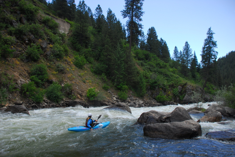
Hounds Tooth begins with a couple of big holes and then a move around the tooth followed by a long run out of fun and continuous class IV+ whitewater.
After passing under Highway 55 the river bends to the left and enters Otters run which is a series of waves and holes. The preferred line is generally down the left side. You can take-out above or below this rapid. At Highway 55 mile 81.8 an access on river right above the rapid is also used as a dispersed camping site. At Highway 55 mile 81.1 near the railroad bridge you can drive down to an access below the rapid.
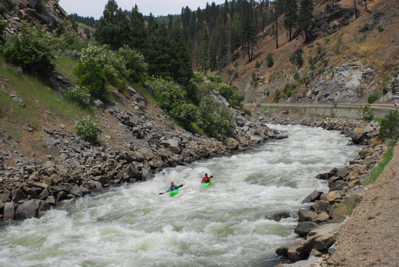
Juicer has some big waves and holes and is generally run down the right but beware of the hole at the top right. The rapid is visible from Highway 55 mile 80.6.
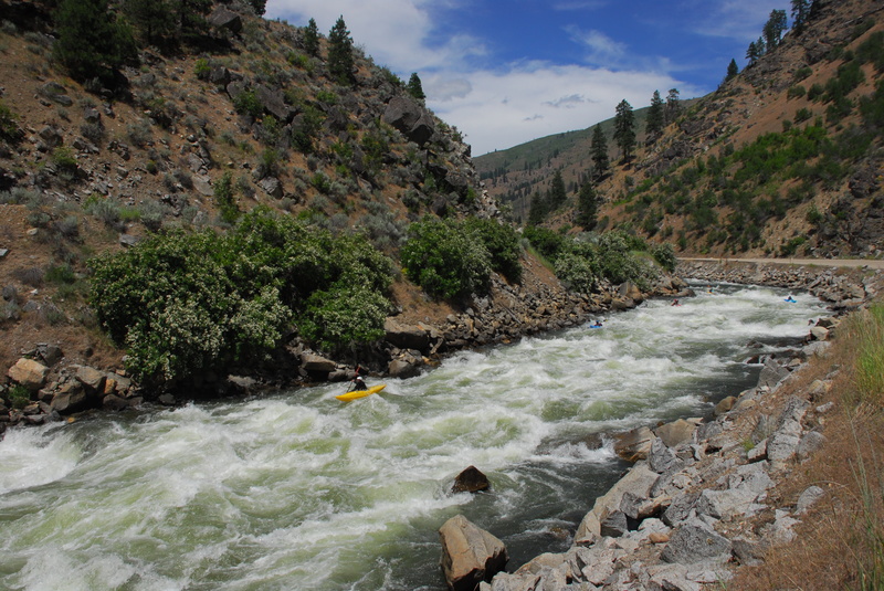
The last big rapid with some big holes and waves followed by class IV runout that continues down to the bridge in Banks. The preferred line is generally down the right. The rapid is visible from Highway 55 mile 79.6.
The take-out in Banks is at Highway 55 mile 78.8 on river right.
Jun 14, 2019