Lolo National Forest (MT) to Begin Planning - Explore the Web Map
The Lolo National Forest, which encircles Missoula, Montana is gearing up to revise their forest plan starting this spring. The new plan will take a fresh look at which rivers merit protection as potential (eligible) Wild and Scenic Rivers and set recreational and other goals for the next 20 or so years. The process takes around 3 years, and there will be ample opportunities to get involved. Paddlers are encouraged to participate, and share their knowledge of rivers and streams.
To help the paddling community understand the geography of the Lolo, American Whitewater worked with Grace Hassler, a graduate student from the University of Pennsylvania, on a data-rich web map. Grace created this map and data dashboard using Forest Service data and the American Whitewater river data to look at the overlap of the Lolo National Forest boundary, whitewater rivers, and current Wild and Scenic eligible rivers. She also included polygons depicting recent wildfires to help understand how the landscape may have changed in recent years. We hope paddlers enjoy exploring the map!
Want to get involved? Here are a few suggestions:
-
Do Homework: Learn about the process on the Lolo National Forest’s plan revision webpage, which includes information on the Forest’s kick-off webinar about the forest planning process coming up January 10th.
-
Share: Improve the information on the AW river pages for the streams on the Forest. You can update reach descriptions, add trip reports and photos, and add rapids and other river features. Just click the edit-pencil icon over the beta box on any river page to get started. If you want to add a new reach just let us know and we’ll get one started for you. We use this information to understand and advocate for rivers.
-
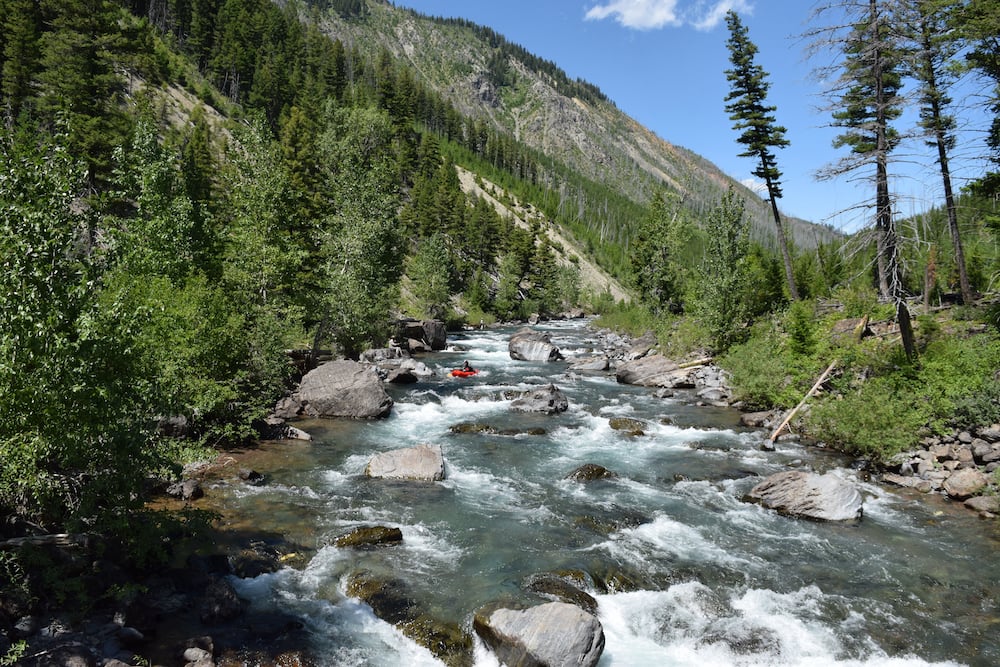
Explore: There is relatively little recreation information on some of the rivers in the Lolo National Forest, so if exploring is your jam, here is a chance to paddle (or hike) with a purpose. Take photos that show the river in context of its setting, take notes, and share them on the AW page, with AW staff, or just straight to the Forest Service this summer or fall. While you are at it, the Bitterroot National Forest is among the next National Forests to start planning, so explore there too!
-
Show Up: There will be National Forest public meetings this year, so go make friends and talk about rivers. We’ll keep ya posted about comment opportunities too.
Paddlers have played significant roles in improving river management through forest planning, and we hope the same will be true on the Lolo National Forest.