Explore New Tools on AW’s Evolving Website
Better information leads to safer paddling, that’s our theory here at American Whitewater. It started of course with the American Whitewater Journal in the mid-1950s, and then at the dawn of the public internet we began using our website for crowdsourcing information on whitewater rivers. The result is a site with information on over 6000 whitewater runs. Over the past three years, thanks to support from the US Coast Guard and our membership, we’ve upgraded our online platforms to be far easier to use. Technology is a journey, not a destination, and we are equally excited about where we are at, as where we are headed. We have a long list of things still to tackle, but below are some tech updates and accomplishments that we are excited to share, and that will help you contribute to the site and our stewardship work.
Add Trip Reports and Photos
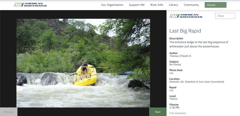
The newest and one of the most fun parts of the American Whitewater website is the ability of any registered website visitor to log trip reports through the Trip Report tab of any river page. If you have a user name and password for the site you're a registered user. These public-facing trip reports are a great way to share one or more photos, opinions regarding flows and lines, and stories of specific descents. Hopefully this information will offer fresh beta as well as historical documentation as more people use it. High resolution and quality photographs are welcomed as they help American Whitewater advocate for rivers. Pick your best images that highlight the character of the reach and specific features. (tutorial)
Shape the Content of the River Pages
It is easier than ever to improve the quality of the content on river pages. Any registered website user can now create and edit the lines and points that depict a river and its related access sites, rapids, and other points of interest (tutorial). Site visitors with firsthand experience of a river can edit the main river description if needed, add photos to rapids, and in the case of a time-sensitive hazard like a strainer can submit Alerts that display prominently (tutorial). Adding photos to rapids on the General Tab is one of the easiest ways to make river pages look better and be more informative. Most of the edit functionality is revealed by clicking the pencil icon over the menu on any river page. We hope that allowing more access to content creation inspires our visitors to improve river pages, especially those that currently have little or no content or have obvious errors. If you are interested in creating new reaches on the site, you can fill out our reach creation form.
Explore New River Safety Resources
Our River Safety Page is very much a work in progress, but we have some great new content highlighted on the page. We are especially excited about the two new river safety films that cover planning, preparing for, and pulling off a safe river trip. These films are geared toward paddlers early in their experience progression, but are good resources for anyone interested in improving the safety of their trips. In addition to the films, we are releasing some new river sign templates for river managers, and are improving the way we collect and share reports of whitewater fatalities, injuries, and near misses.
Dive Into the Map
We all know rivers are spatial, so we made the definitive interactive whitewater map that depicts river classification and real time flow status, and lets paddlers explore their whitewater world in a new way. If you have not been to the American Whitewater site in a while, check out the mapping interface of our National Whitewater Inventory. If you prefer the old state lists, they are right below the map. When next summer rolls around and the West starts burning, you can count on our new Fire Map to plan your trip to avoid known fires, smoke, and fire-related closures.
Use The American Whitewater Site on the Go
The American Whitewater website has worked well on phones and other mobile devices for a year or two now, but this is still something we're excited to have accomplished. You can use the American Whitewater website directly through your phone, or use the free and location-smart American Whitewater Android or iOS apps which have been updated recently and are available in your app store. If you are travelling to a new area, the apps are a great tool to explore rivers around your location.
Help Support the Website
OK this isn’t new, but maintaining and improving our website is a big lift, and we could use your help. Your memberships and general donations help fund our programmers, staff, and the resources we need to support volunteers that are focused on the site. In addition, if you are a qualified web programmer or designer interested in contributing, please consider reaching out to us and donating some of your time and expertise to the project. If you are reading this, chances are you are already chipping in, so Thank You!