
Cispus gauge update
The USGS Cipus River gauge has recently been providing inaccurate readings. The problem stems from the fact that the channel recently shifted so that the gauge is no longer in an ideal location to provide accurate data particularly at low flows.
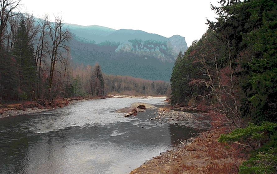
Previously this gauge was located below the confluence of Yellowjacket Creek, but after the gauge was damaged during floods in early 1996, the gauge was moved 1.75 miles upstream to a site near the FR 28 Bridge. This site worked well for a few years but the river runs through gravel substrate that is rather mobile. The channel profile changed so that the low water channel is now located away from the gauge instrumentation (river photo at gauge location). The current location thus does not provide accurate data at low flows (of interest to those running the Upper Upper) but data that are reasonably accurate once river level rises and water fills the full width of the channel (this occurs at staff gauge readings > 3.0' or 1250 cfs).
The technician who services the gauge is aware of the problem and has been calibrating a new site at the FR 28 Bridge. He has plans to move the gauge to this new site a short distance upstream within the next few months. Because the new site is already calibrated it should be possible to begin providing accurate data through the full range of discharge for this river once the gauge is moved.