American Whitewater Spring Website Update
Thanks to generous grants from the US Coast Guard and significant volunteer efforts American Whitewater has created a new modernized version of our website that works across mobile devices, has significantly updated programming systems, and works with our volunteer-created apps for both iOS and Android. We want to acknowledge that the new version of the site has had numerous bugs, and to share that we have worked to address them as quickly as possible. This work continues with a lean and dedicated team of volunteer and paid programmers.
We'd like to thank all those who have reported issues with the site to us. We discuss, rank, and tackle all the bugs we are made aware of in order of importance. We still have quite a few known bugs we are tackling, but feel free to let us know if something isn't working for you. Likewise, if you have programming skills and would like to join our volunteer team please reach out to us. You can email: evan@americanwhitewater.org. With this said, we hope paddlers are enjoying the new site, the vast majority of which is working great.
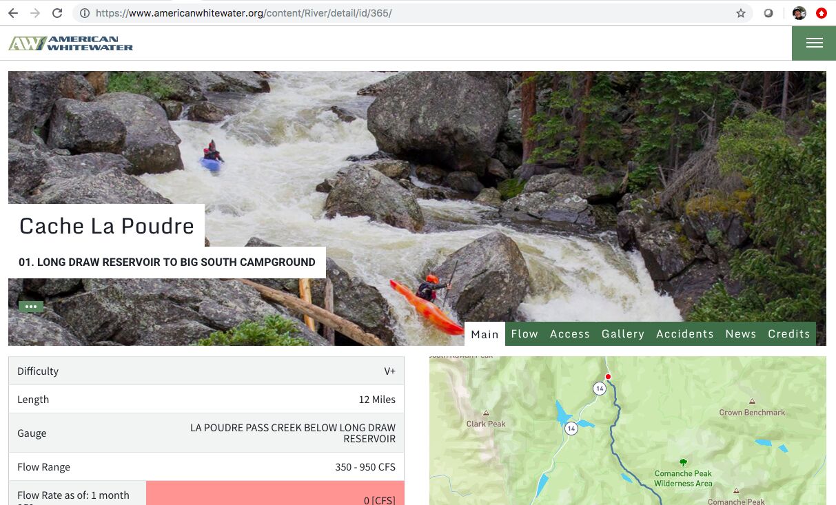
Want to improve the National Whitewater Inventory pages? Log in with the arrow-box logo in the upper right corner of your screen, go to any river page, click on the 3-dot menu and select Edit This River (or Edit Flows). Then, you can, for example:
- Replace, pan, or zoom the banner photo
- Add alerts regarding wood or other heads-ups.
- Edit river descriptions
- Add photos
- Add/edit rapids
- Submit accident reports
We are working on enhancements and bug fixes related to mapping, depicting custom and multiple gages and flow ranges, treatment of gradient, photo uploads, and report submissions. Users may experience some challenges with these functions until we have them fully fixed. We appreciate your patience.
You might have noticed that we now have new maps, which highlight the river reaches as bold lines in addition to access areas and other points of interest. This is just the first step towards radically improved mapping functionality that we'll be rolling out over the next 6 months. You'll be able to view rivers by class and whether or not they are running, see gradient profiles, explore other background layers, and much more. Interested? Check out this blog post by our mapping project leads Seth Fitzsimmons and Nicholas Gottlieb. Also in the works are enhancements to our apps, tightening up the site design, and a new river safety page.
This project has been a heavy lift by a small team. We are excited by the outcomes so far and by the enhancements in the works, even as we fix bugs and respond to questions about remaining issues with the site. Thanks for your patience, and enjoy the new AW site!
Evan Stafford
Fort Collins, CO 80524