Weiser River (ID)
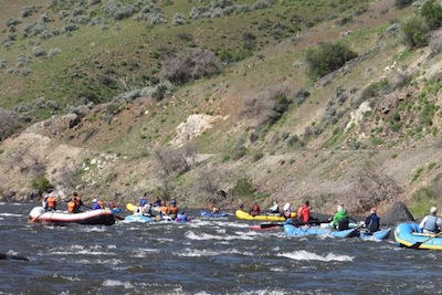
 Idaho’s Weiser River is 103 miles long and flows south from its headwaters in the Seven Devils Mountains to its confluence with the Snake River upstream of Hells Canyon. The Idaho Water Resource Board is proposing to build the Weiser-Galloway Hydroelectric and Water Storage Project (FERC No. 14608), which would involve a new 282-foot tall dam immediately upstream from the existing small Galloway Diversion Dam. If built, the project would flood 15 miles of the Weiser River when the reservoir is full, including a 7 mile long, Class II-III section that is the most popular boating run of the river. The river corridor also has other recreation opportunities, including primitive camping and the 84-mile long Weiser River Trail.
The Army Corps of Engineers has considered building a dam at this location several times since the 1950's, and each time it has determined that it's better to leave the site alone, primarily for economic reasons, but also because of concerns about geology and flows. The State asserts that the dam is necessary now to help provide enough water each spring to aid in salmon migration in the Snake River. However, the state is already meeting these obligations through other means throughout the Basin, and there's no need to sacrifice the Weiser. The state also says that the new reservoir will provide new recreation opportunities, but after the flows are released in the spring, the reservoir will become a muddy mess and these opportunities won't be available.
The Weiser-Galloway Dam still doesn't make sense today. Stay tuned for updates and opportunities to take action to keep the Weiser flowing.
The contacts below include staff and volunteers working on this project. Make sure you are logged in if you wish to join the group.
| Title | Name | City |
|---|
