Madison
2) Quake Lake to 1.5 miles downstream
| Difficulty | IV-V |
| Length | 1.5 mi |
| Avg Gradient | 155 fpm |
| Gauge | Madison River Bl Hebgen Lake Nr Grayling Mt |
| Flow Rate as of 17 minutes | 1440 cfsrunnable |
| Reach Info Last Updated | October 17, 2022 |
On August 17th, 1959 at 11:37 PM a major earthquake rocked the Greater Yellowstone Area. Rating a 7.5 on the Richter Scale, this quake was the largest in the documented history of Montana and took the greatest toll on human life. An entire mountainside came tumbling down on a crowded forest service campground before charging a full 400 feet up the opposite mountainside. This slide completely dammed the Madison River, eventually forming Earthquake Lake. The Army Corp of Engineers cut a new path for the river through the debris and this is now a SW Montana padling classic.
The run starts across from the Quake Lake visitors center on Montana Hwy 287. A dirt path leads down to where the lake once again becomes a river. From the moment you drift through the skeletal reamins of the forest poking up from the lake bottom, you are faced with continuous class IV boogie water requiring good read and run paddling skills. Though not overly difficult, the upper section is shallow and extremely sharp. A swim would be painful at best.
As you fly down the run, keep your eyes peeled for a big eddy on river left, just before the river bends hard to the right. You will be directly below the main part of the slide. Catch this eddy and scout the next 120 yards. This rapid, known as the S-Turn, is known for carnage and has drawn its fair share of blood. It is a definite class V at all levels but can easily be portaged on the left.
Below this drop, the river mellows quickly and you can take out wherever you like as Hwy. 287 follows this run in its' entirety. Most folks run it two or three times in a day. Enjoy!
Pull off opposite to the visitors center and put in on quake lake where the river starts.
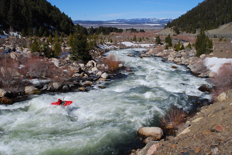
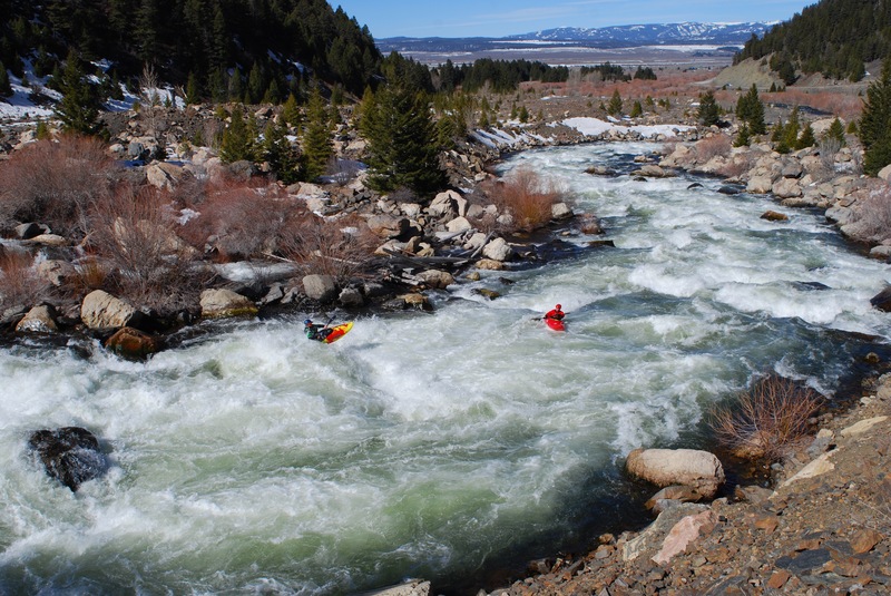
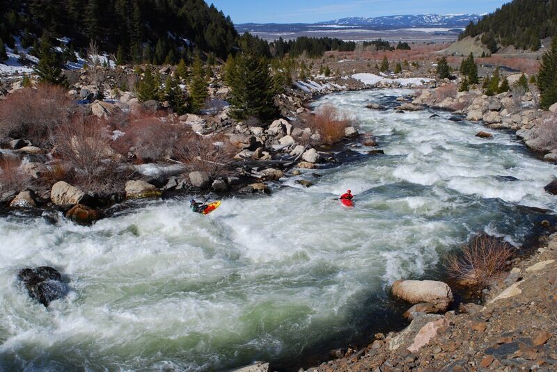
S-Turn Rapid is .2 miles of continuous Class V. It can be scouted by hiking down from the road or pulling out into the eddie above. The rocks are sharp and the water is chaotic the whole way through.
May 1, 2018
S-Turn on rare nice weather day.
May 1, 2018
Matt sees his shadow, six more weeks of winter?
Sep 15, 2008
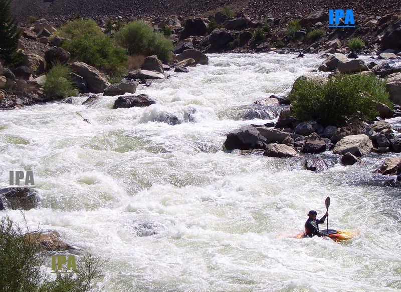
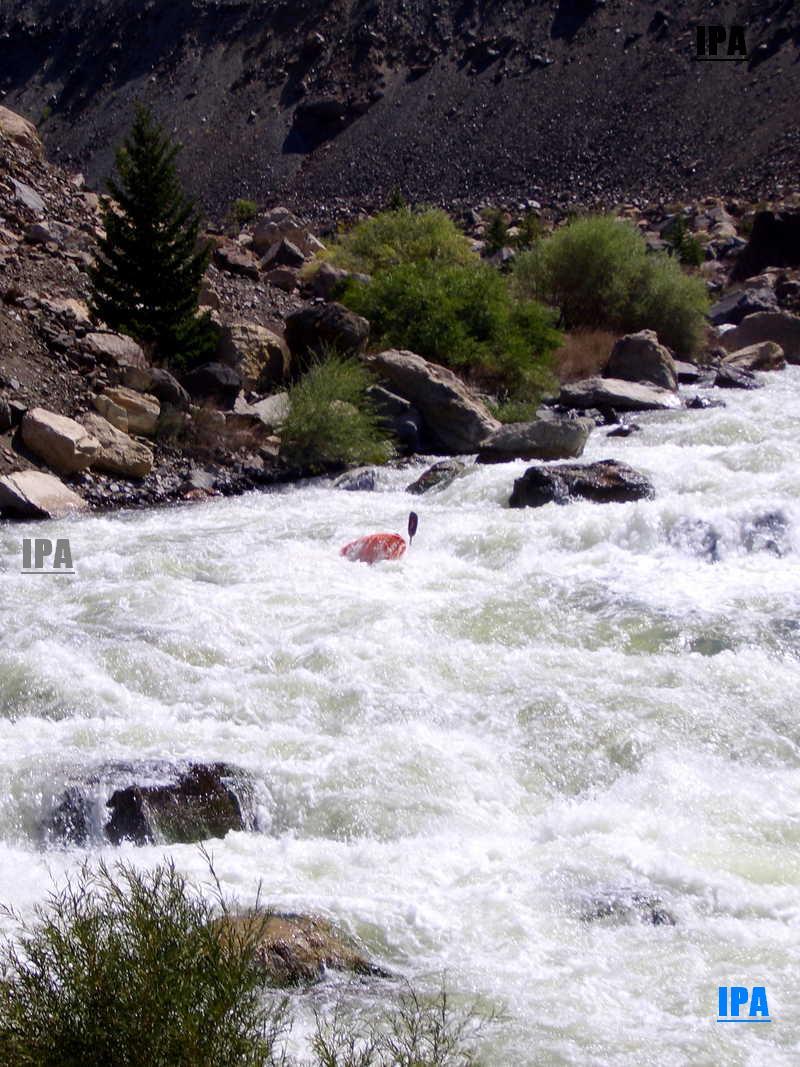
Because of dam maintenance at Hebgen Lake, the water level at Quake Attack is the highest I have seen. It has been ranging between 3200 cfs and 3800 cfs. The character of the river demands full attention and endurance at these flows, as it more resembles a North Fork Payette than a Madison River Run. Although the majority of the rocks are underwater, they are still sharp and will leave a strong impression should you decide to face off with them. If you are in the area, it's worth a trip to look at it, as it is very easy to scout from the road and there are eddies above the S-turn rapid for an easy portage. It's a great run that demands your respect and attention to safety.