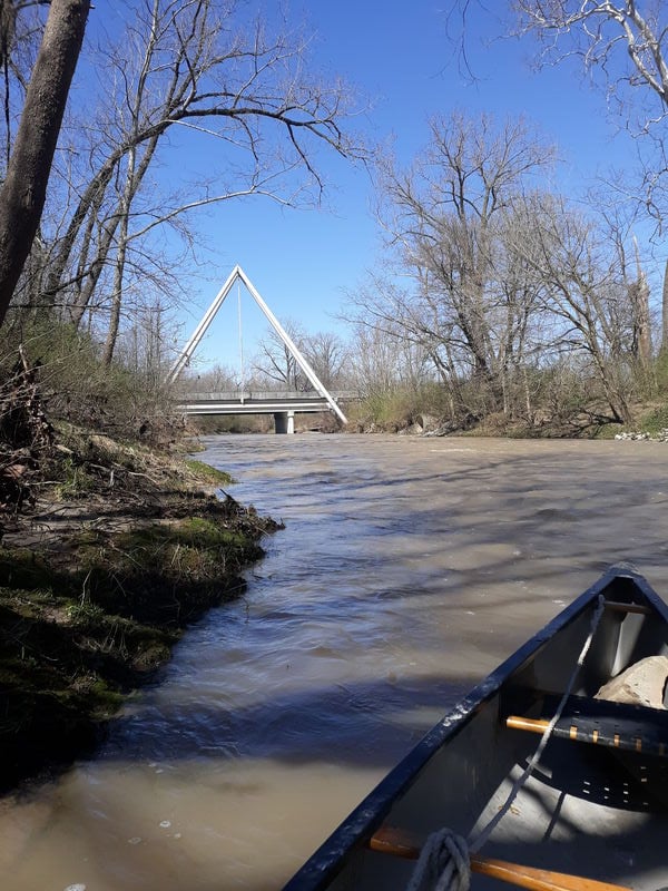
White Lick Creek
E.CR200N to E.Hendricks CR (up to 15.4 miles)
| Difficulty | I-II |
| Length | 15.5 mi |
| Avg Gradient | n/a |
| Gauge | White Lick Creek at Mooresville, in |
| Flow Rate as of 50 minutes | 49 cfsbelow recommended |
| Reach Info Last Updated | December 10, 2024 |
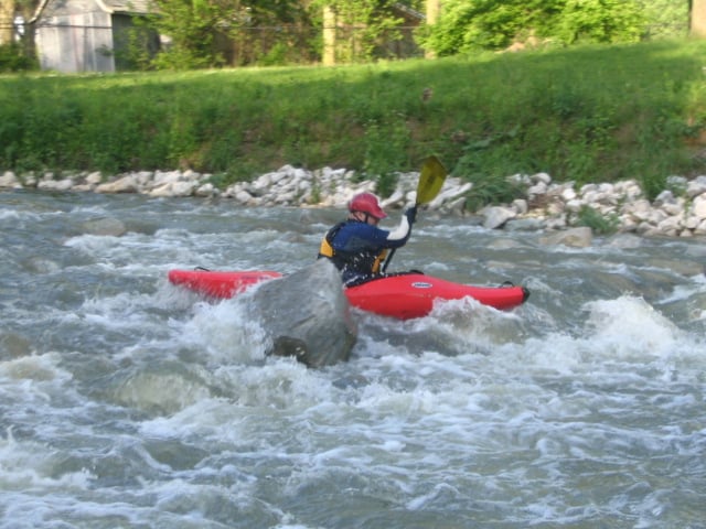
Stretches of this creek hold some promise as a fine beginners whitewater trip.
We have no specific information about the best access points. What is mapped here are a few possible choices.
Anyone familiar with this stream (and the best whitewater on it) is encouraged to help out your fellow boaters!
Add a 'Trip Report' with comments about this run and gauge readings.
Where is the best whitewater? Are there any well-defined playable features? What are the best water levels?
What are the best access points (and are there places where access is prohibited or otherwise problematic)?
This appears to be the furthest upstream location for possible access to gradient/rapids areas which may exist.
We have no first-hand knowledge nor any reports to indicate whether parking and river access are convenient here. Nor do we know whether any whitewater actually exists between here and each subsequent downstream access locations. If you have scouted and/or boated this stream, we need your input! Help out your fellow boaters using the comments (at bottom of page), or click the 'Trip Reports' tab at the left to add photos and other info!

We have no first-hand knowledge nor any reports to indicate whether parking and river access are convenient here. Nor do we know whether any whitewater actually exists between here and each subsequent downstream access locations. If you have scouted and/or boated this stream, we need your input! Help out your fellow boaters using the comments (at bottom of page), or click the 'Trip Reports' tab at the left to add photos and other info!
We have no first-hand knowledge nor any reports to indicate whether parking and river access are convenient here. Nor do we know whether any whitewater actually exists between here and each subsequent downstream access locations. If you have scouted and/or boated this stream, we need your input! Help out your fellow boaters using the comments (at bottom of page), or click the 'Trip Reports' tab at the left to add photos and other info!
Likely (more so than the others) just a 'waypoint'.
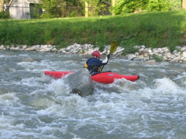
(NOTE: THIS PHOTO IS FROM THIS RUN, BUT DOES NOT REPRESENT THIS LOCATION. WE ATTACH IT HERE ONLY TO HIGHLIGHT WHAT SORT OF WHITEWATER ONE CAN EXPECT ON THIS RUN.)