| Difficulty | II-III |
| Length | 2.5 mi |
| Avg Gradient | 30 fpm |
| Gauge | Redwood River Near Redwood Falls, Mn |
| Flow Rate as of 1 hour | 118 cfsbelow recommended |
| Reach Info Last Updated | May 9, 2010 |
River Description
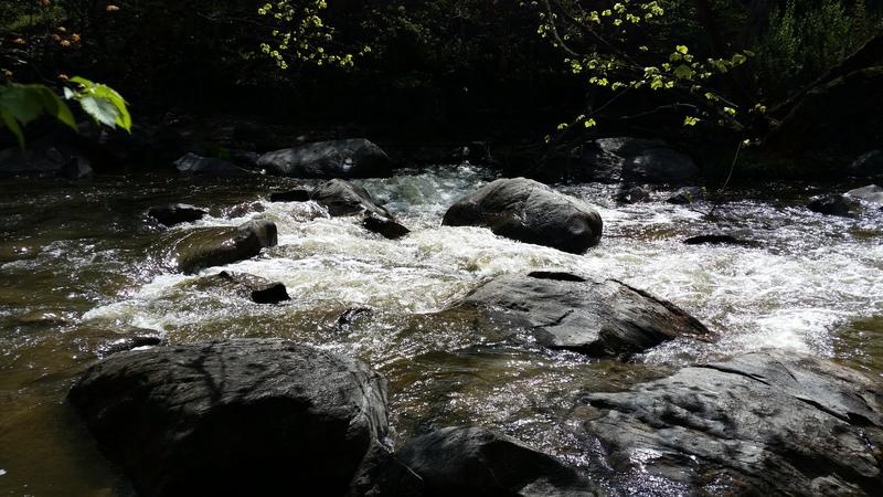
Another town name with 'falls' in it prompts cyber-investigation. Size and gradient are adequate for spring and heavy-rains boating. On something this small, deadfall and snags are a serious concern. So, while the rapids may not rate higher than class II-III, you may need class IV-ish skills to avoid disaster. Beaver Falls County Park and/or Renville County Park should provide good access.
The following YouTube video (From 'MnktoDave') provides a great top-to-bottom boaters-eye-view of this stretch!
River Features
Put In
Access PointDistance: 0 mi
Drainage: 191 sq.mi
OtherDistance: 0 mi

A USGS gauge site at CR2 (citing drainage of 191 sq.mi.) recorded data from May, 1972 through May, 2015. During that time, annual peak flows mostly stayed under 1000cfs, but five years went over 2000 cfs, with one of them reaching over 5000 cfs!
Take Out
Access PointDistance: 2.58 mi
Trip Reports
Log in to add a report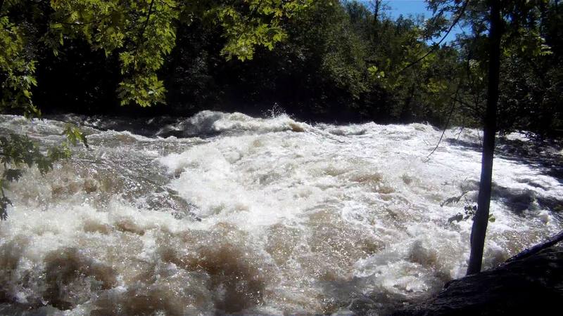
RS
Russell Sabo
Sep 17, 2016
There is a dedicated gauge for Beaver Creek owned by the DNR. My experience is that 9 feet and up will give you a fun ride. Bridge gauge link: http://www.dnr.state.mn.us/waters/csg/site\_report.html?mode=get\_site\_report&site=25053002
DJ
Dave Jergenson
Jun 28, 2010
Ran the creek on 6/26/'10...River was at a 'sweet' level...just below the 3rd of 5 'tape' markers, on the Hwy 2 bridge 'pipe' gauge. (Downstream side).
Most all rapids are located between the Hwy 2 bridge and the next bridge in the park. A road inside the park follows both sides of the river, to this bridge. The only reason to go further downstream to the next bridge, is during the off season, when the park is closed.