American, Middle Fork
Interbay Dam to Oxbow Reservoir(End of the World Run)
| Difficulty | IV-V |
| Length | 9.7 mi |
| Avg Gradient | 128 fpm |
| Gauge | Middle Fork American River Below Interbay Dam |
| Flow Rate as of 193 days | 27 cfsstale data |
| Reach Info Last Updated | February 3, 2023 |
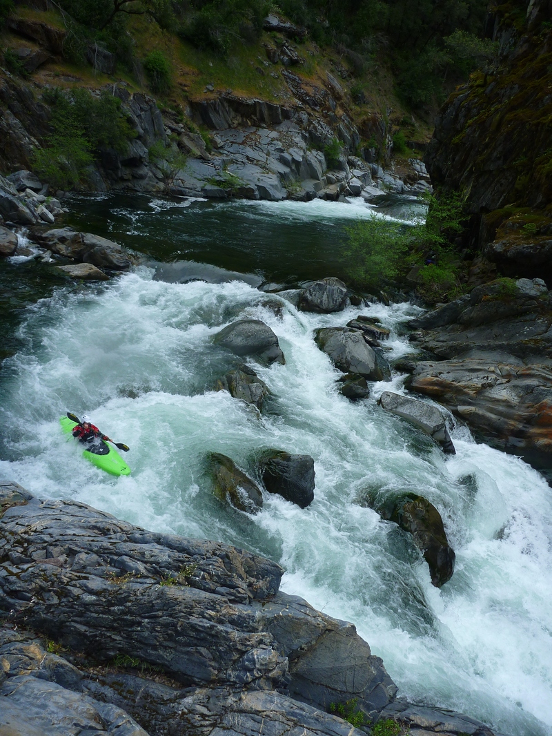
Summary: This is great wilderness run with a good mix of boulder gardens and bedrock rapids. Class IV+ to V- in difficulty. The first three miles of run are mostly high quality IV+ / V-. Then gradient mellows and the next 4 to 5 miles slide away quickly with some occasional class IV to keep you on your toes. Next, you cash out on the gradient bank with the last ½ mile being the steepest of the run. The inconsistent gradient/difficulty keeps this run from being a classic. Most similar comparisons would be to Canyon creek (SF Yuba trib), SF Tuolumne, and Lavezzola Creek. Predictable ideal flows (even simple gauge readings) would yield paddlers here on a regular basis.
Flow: Currently the crux of End of the World Run is finding the right flow. American Whitewater hosted a whitewater boating flow study in 2010 and secured access to Placer County Water Agency gages which are now provided on its website. February 2023 update: American Whitewater is working add this gage to this river page.
Note: Based on the algae growth in the riverbed, it appears this run has boatable flows much more often than common wisdom in paddling circles would suggest.
One tributary (Mosquito Creek) joins the run approximately 2.5 to 3 miles in. In May of a big water year, this added about 30 cfs.
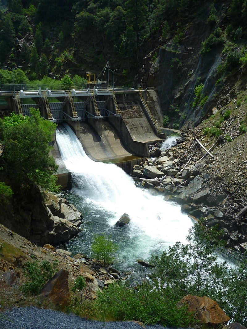
Put-in: Interbay Dam (sometimes referred to as End of the World Powerhouse) at about 2440’ elevation. Paved roads all the way. From the take-out drive up Mosquito Ridge Road, then turn right on the road leading to Interbay Dam and Middle Fork Powerplant. Access the river a short ways below the dam.
Take-out: Picnic area just above Oxbow Reservoir at about 1160’ elevation on river right just above brigde. Paved roads all the way.
Portages: Two or three recommended but not mand
...May 17, 2011
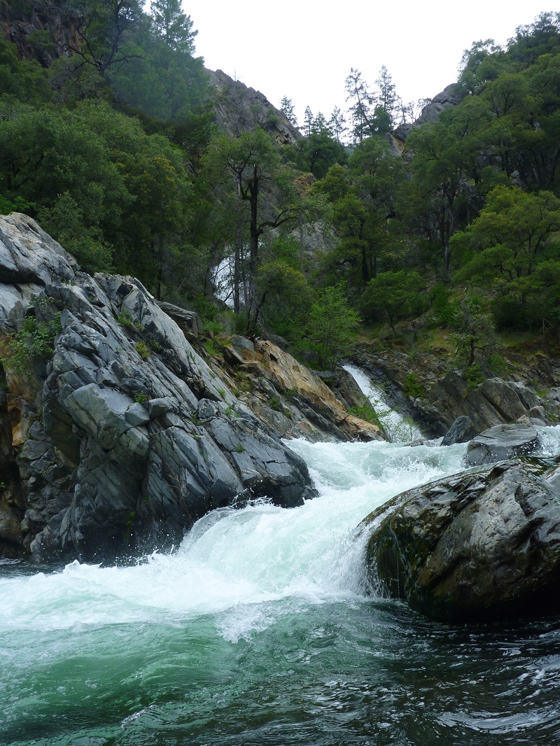
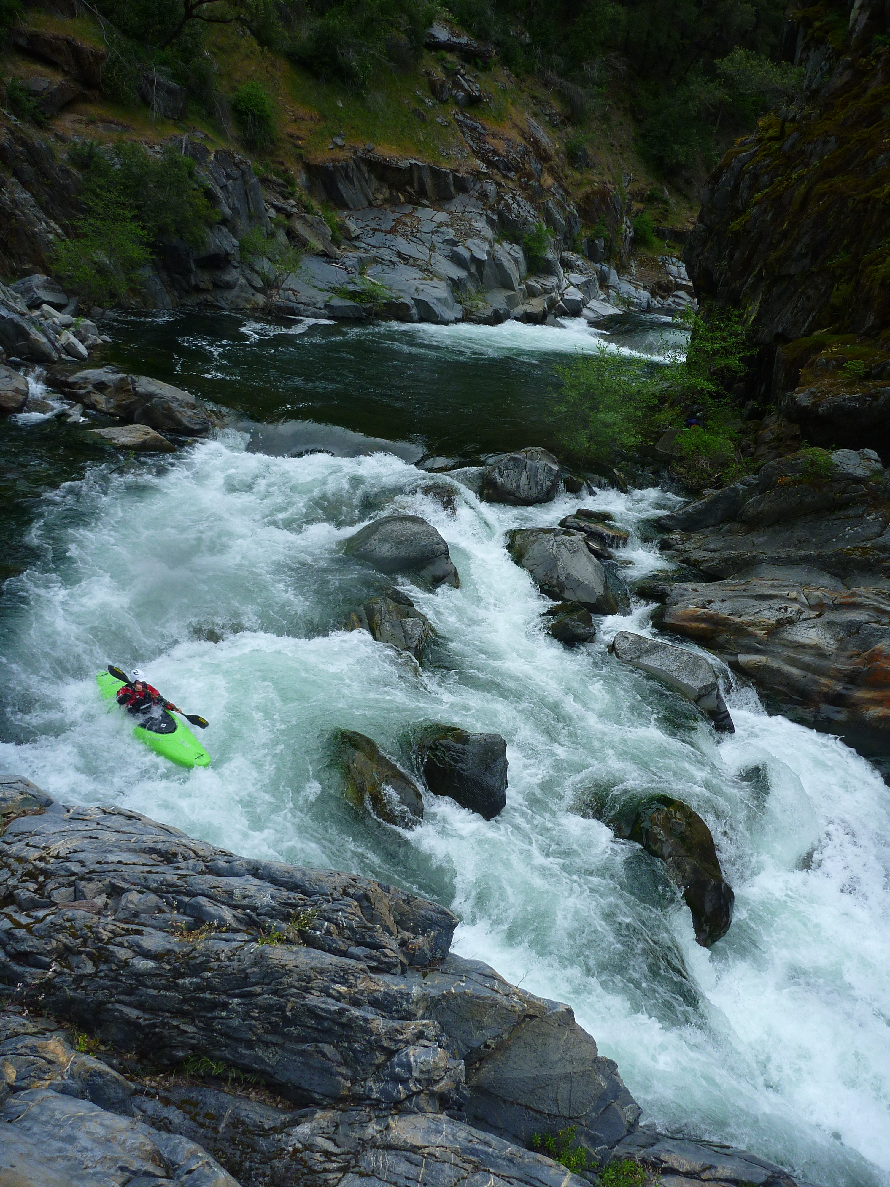
This rapid is at the confluence of Mosquito Creek that comes in on river right. Amanda Marusich is all smiles.