Wild Rice, S.Br.
220th St.N to 190th St.N (5.66 miles)
| Difficulty | I-II |
| Length | 7 mi |
| Avg Gradient | 18 fpm |
| Gauge | S. Br. Wild Rice River at Co. Rd. 27 Nr Felton, Mn |
| Flow Rate as of 1 hour | 98 cfsbelow recommended |
| Reach Info Last Updated | December 13, 2024 |
Quick Facts:
Location: NW Minnesota, approximately 4.5 miles WNW from Ulen, MN.
Shuttle Length: 4.2 miles / ~8 minutes Click here for shuttle route
Character: nice gradient and a rock and boulder riverbed
Drainage area at gauge (take-out): 190 square miles.
Put-in elevation is approximately 1040'.
Take-out elevation is approximately 940'.
Thus total elevation change is approximately 100'.
Information (lat, lng, elev, total drop, run length, shuttle length) adjusted and/or verified from best manual extrapolation of online data (via maps.google.com, distance measuring tool, and other resources). 2010.08.25
The resolution on Google Maps for this area is pretty good. Go to the 'Map' tab, click 'Topo' and change to 'Satellite', click-drag to center on the put-in, zoom in to near to maximum resolution available, and do a 'virtual walk' down this reach! (You will doubtless notice how the mapping of the run fails to accurately follow the satellite image of the present streambed!)
General Overview
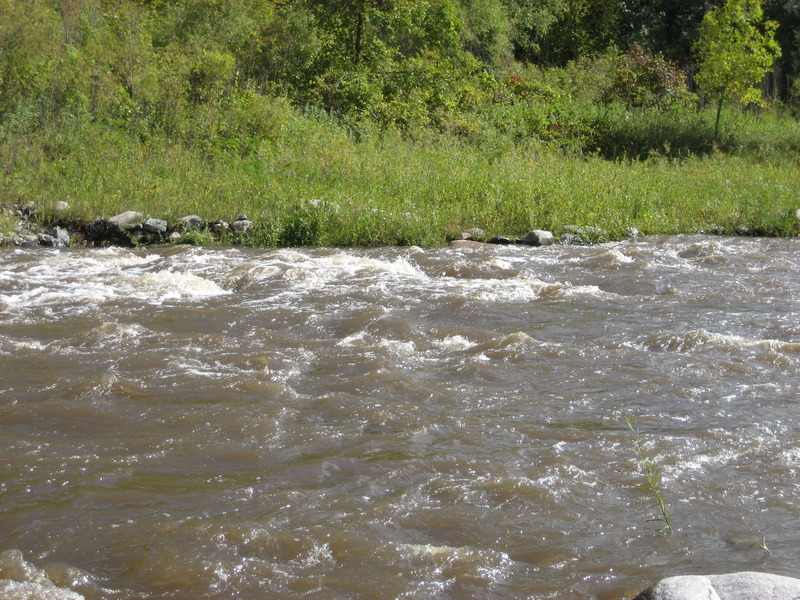
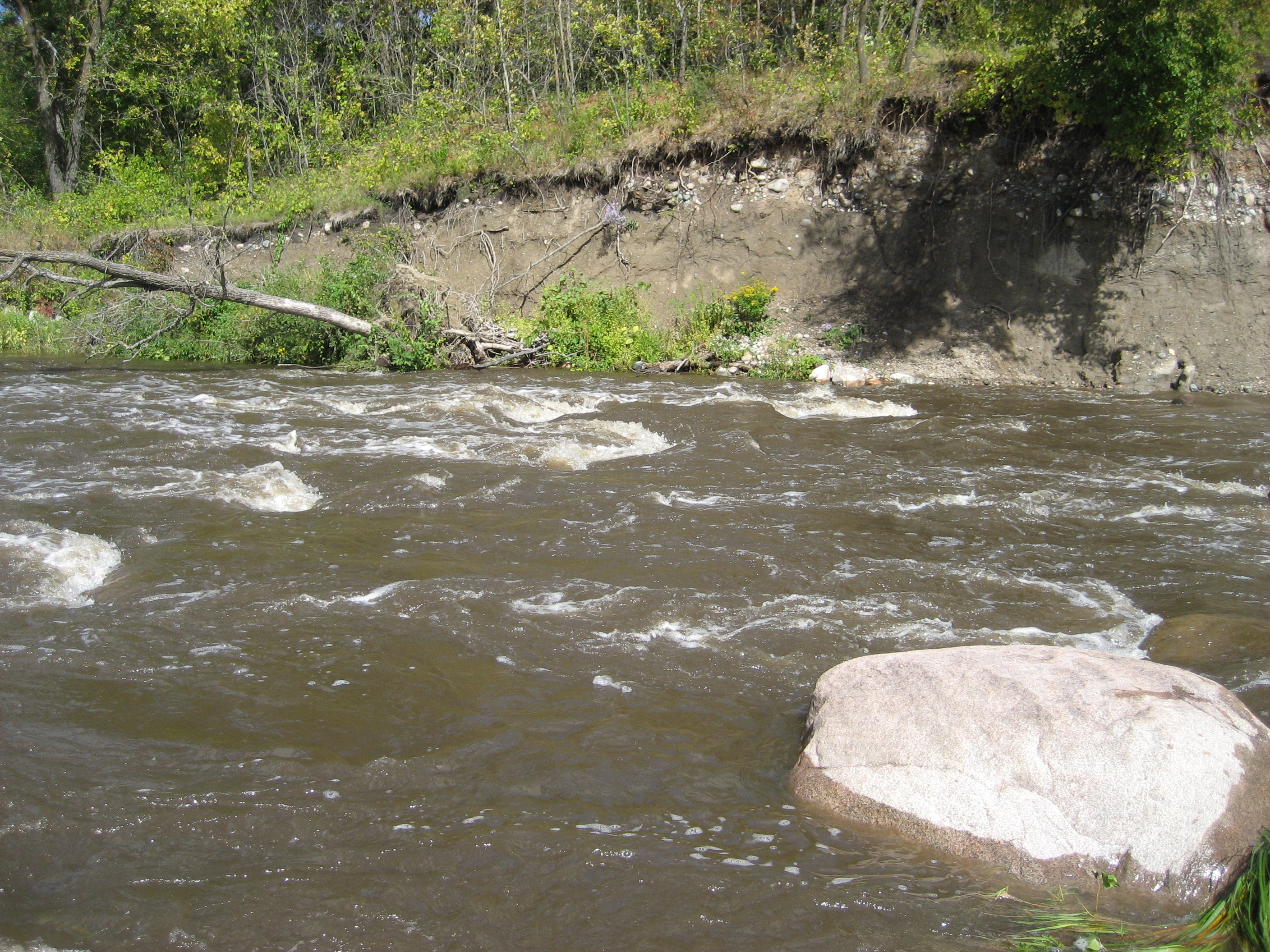
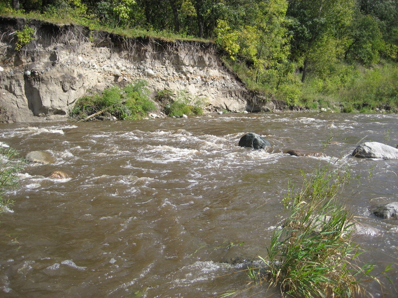
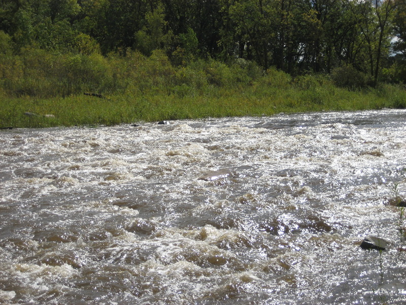
The run has nice gradient, and a rock and boulder riverbed.
Use Extreme caution! There are six river wide single strand wires used for pastures on this run. They are hard to see! (Often what will help is Instead of looking for the wire, be on the lookout for the fenceposts! They should be easier to see.)
NOTE: photo may not actually be this location, but is merely illustrative of some of the scenery on this run.
Just a sample rapids . . .
From the satellite view, it appears there may be a bit of a rock-garden/shoals here.
NOTE: Accompanying photo may not be of this specific locaiton, but should be representative of the river.