Barren River
Downtown Bowling Green Riverfront (PnP)(The Rocks)
| Difficulty | III+ |
| Length | 0.2 mi |
| Avg Gradient | n/a |
| Gauge | Barren River at Bowling Green, Ky |
| Flow Rate as of 8 minutes | 5.40 ftbelow recommended |
| Reach Info Last Updated | December 16, 2020 |
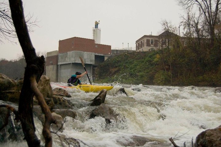
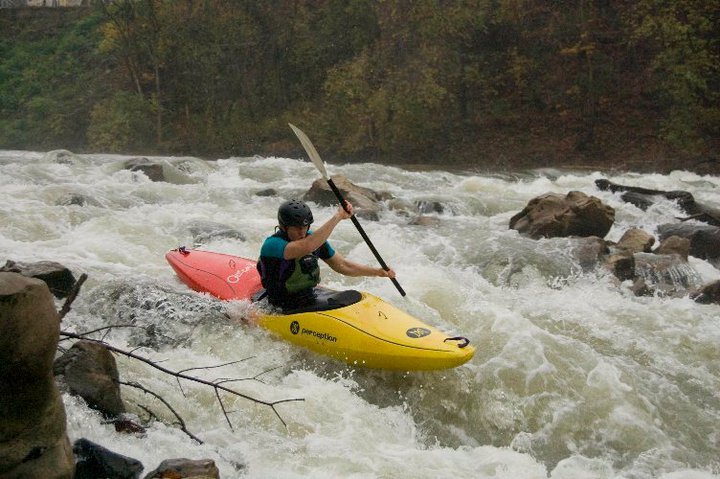
The Rocks are a manmade rock dam used by BGMU as a holding reservoir for the city of Bowling Green's water intake. There are numerous lines to take. Play waves and holes may form at levels between 9 to 15ft. Scout before you run the Rocks and look for pinning rocks & wood. There are unconfirmed reports of rebar as well. At flows below 8ft the rocks turn into a river wide sieve.
Watch this video of the Rocks at 12.4ft on 4/9/11 by G. Ress
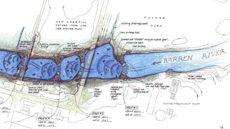
The Rocks is located at Weldon Peete Park. The putin for the Rocks is located at the base of the College Street Bridge on river right. From this location you will paddle upstream to the Rocks. There is a proposal for a Bowling Green Whitewater Park. For additional information visit the project's facebook page.
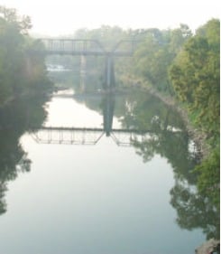
The putin for the Rocks is located at the base of the College St. Bridge on river right. From this location you will paddle upstream to the Rocks
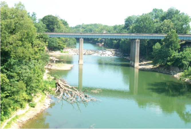
The river right Old Louisville Rd Bridge piling forms a stiff eddy line perfect for stern squirts at higher levels.
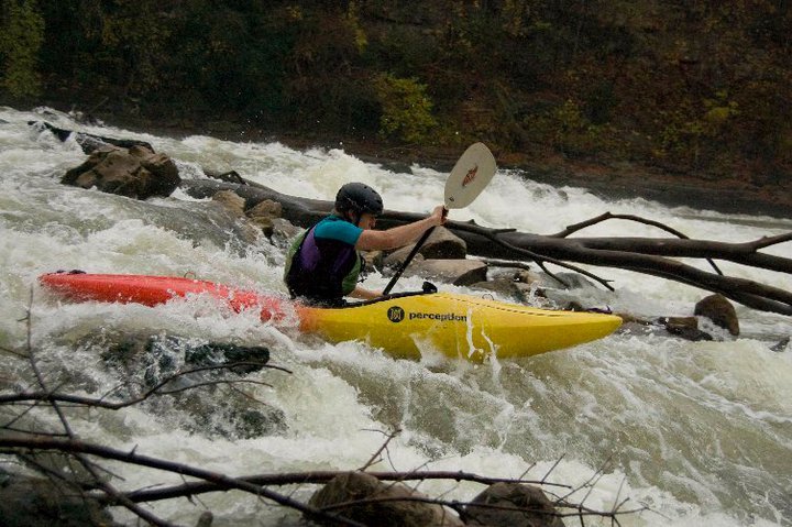
The Rocks are a man made rock dam. As a rule of thumb the higher the water level the easier the Rocks become to run. Low water exposes the Rocks making for serveral technical lines. Be sure to scout the rocks before you run them for wood and pinning rocks. Surfing waves may form at certain levels.
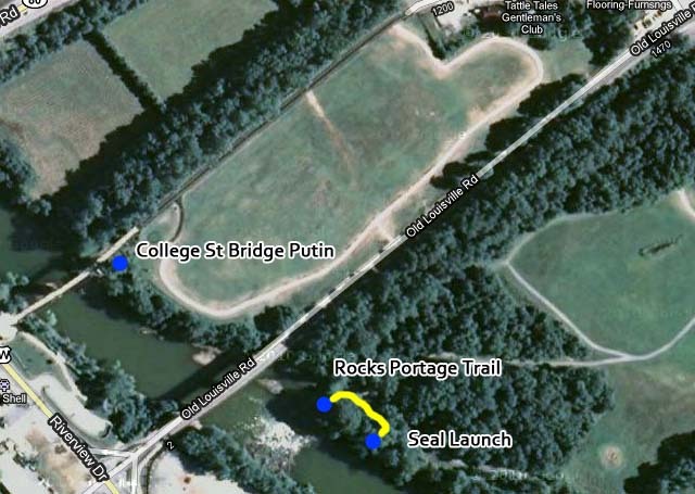
To run the rocks takeout at its base on river right and carry your boat up the bank to the portage trail. Walk upstream a little ways and you will see a small clearing on your right with a fun 3 ft tall seal launch into the river.
Dec 7, 2017
Bad beta for flows on this rapid, it can be run really low and as high as you want it. There is usually a tree somewhere in the rocks, it's good to have a look and be safe!
PS Streamkeeper, cool to use my video, but at least go to the trouble to update the caption for a bad link to the previous video.
Sep 9, 2016
https://youtu.be/BnUphEc3V6E Recent video of The Rocks at 7'
Oct 29, 2010
Drop Descriptions From Upstream To Downstream
Drop #1
5ft gradient loss, focused on a large world-class surfing wave, and wave train. The main surfing wave will allow for intermediate and expert kayakers to perform and learn aerial tricks, while allowing for novice kayakers, rafters, and tubers an exciting large wave train to run.
Overlooking the drop sits an observation deck allowing for ample spectator room. This drop will intentionally direct the water flow in a river left angle in-order to reduce problematic erosion of the river right bank immediately downstream.
Example: Mwave, Colorado
Drop #2
3ft gradient loss, split by an island; river right slot, rodeo hole; river left slot, medium surfing wave, and wave train. The right slot will allow intermediate and expert kayakers to perform rodeo moves such as cartwheels and loops. The river left slot will provide a medium surfing wave and wave train.
Example: Smiley’s, Ocoee Olympic Course
Drop #3
2ft gradient loss, focused on a medium/small surfing wave and wave train suitable for novice kayakers to learn to surf for the first time.