Rogue, Middle Fork
Butte Falls Road to SF Rogue Confluence(Middle Fork Gorge)
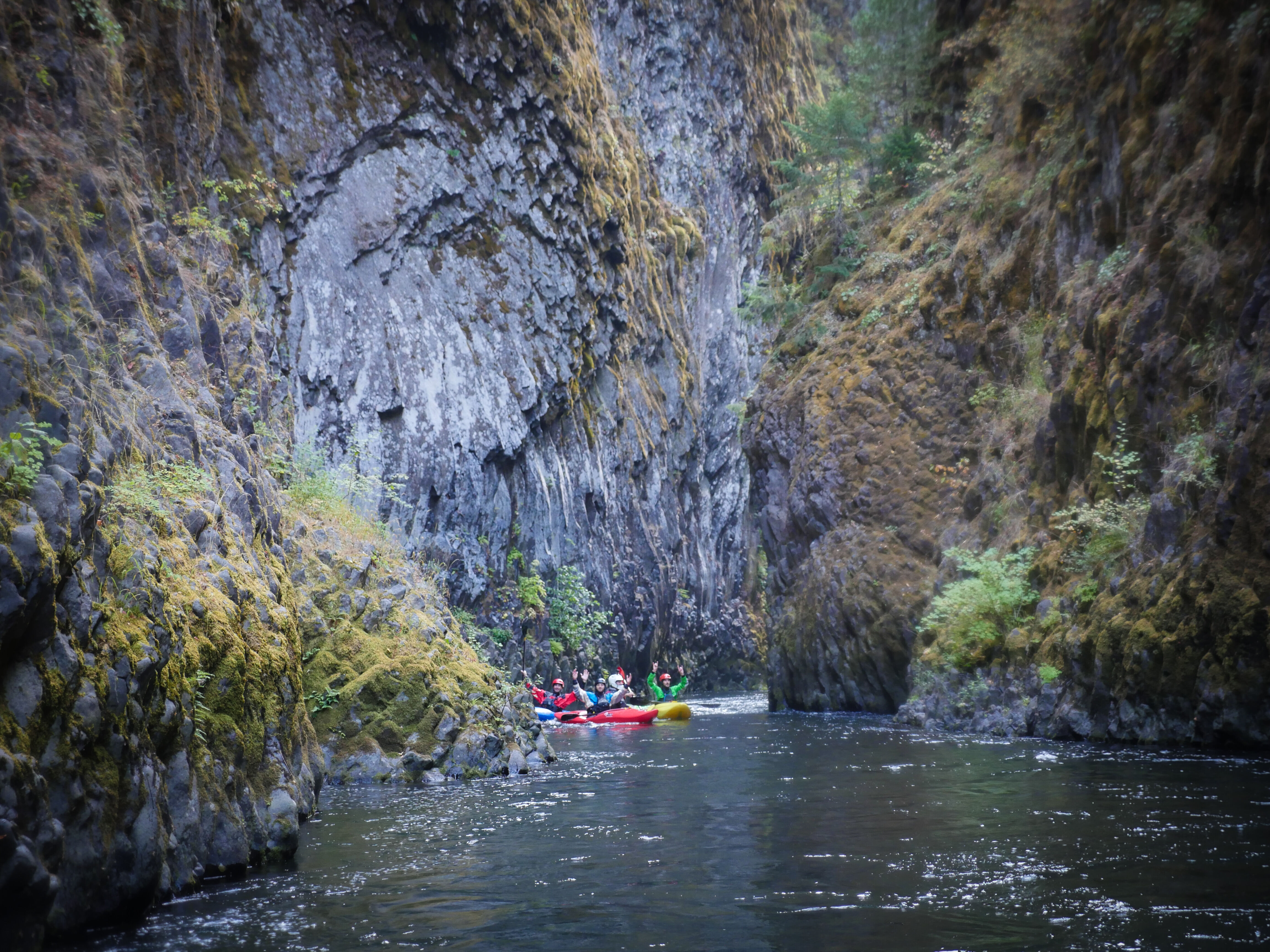
| Difficulty | V |
| Length | 2.2 mi |
| Avg Gradient | 88 fpm |
| Reach Info Last Updated | May 28, 2026 |
Run description and photos of the [Middle Fork Rogue Gorge](http://www.oregonkayaking.net/rivers/mf\_rogue/mf\_rogue.html) at Oregon Kayaking. The Middle Fork joins the [South Fork Rogue](https://www.americanwhitewater.org/content/River/view/river-detail/10452): continue 4.6 miles on the South Fork to the take-out.
The Middle Fork joins the South Fork. Continue for 4.6 miles on the South Fork to the take-out at Lost Creek Reservoir.
No trip reports yet.