Chattooga
Rock Gorge - Burrell's Ford to Lick Log Creek(AKA Section 1)
| Difficulty | II-V |
| Length | 7.5 mi |
| Avg Gradient | 38 fpm |
| Permit | Permit must be obtained at Green Creek Trail, County Line Trail, or Bull Pen Bridge in NC, Burrell’s Ford Rd (GA side of the river), Warwoman Campground (FR 86) and Overflow Creek in GA, or Hwy 28 boat landing, Low Water Bridge, Earl’s Ford, Sandy Ford, Fall Creek, Thrift’s Ferry, Hwy 76 / Bull Sluice lot, and Woodall Shoals in SC. |
| Gauge | Chattooga River at Burrells Ford, Nr Pine Mtn, Ga |
| Flow Rate as of 47 minutes | 52 cfsbelow recommended |
| Reach Info Last Updated | January 12, 2020 |
Table of Contents American Whitewater Chattooga Project Summary Forest Service Process Paddlers’ Litigation Against the Forest Service Overflow Creek Upper Chattooga Timeline American Whitewater Chattooga Project Summary The Chattooga River, which starts in Western North Carolina and flows south to form the border between Georgia and South Carolina, was [...]Read More
NEW RULES!
The new rules include:
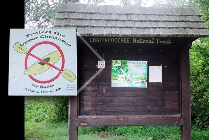
These severe restrictions are the only of their kind in the entire Unites States, and are intended to benefit anglers who pursue heavily stocked non-native trout. The artificial fishery created by the USFS-sanctioned stocking has significant impacts including hatchery pollution, backcountry helicopter disturbances, near elimination of native brook trout, user created angling trails, and the elimination of nature based paddling from the upper Chattooga River. Ironically, the USFS decision actually harms anglers across the Country by creating potential competition for wild rivers that are currently shared by all forms of backcountry recreationists, and by degrading the rights of anglers to fish from a boat.
During a press briefing, the acting Sumter Forest Supervisor, Monica Schwalbach, stated that the US Forest Service has determined that boating on the upper Chattooga -- even in unlimited numbers -- 'would have no impact on the resource.'
AW has been working for a decade to bring responsible, nationally consistent river management to the Chattooga, and this work continues today.
For more information about American Whitewater's efforts to remove this boating ban go to the Chattooga P
...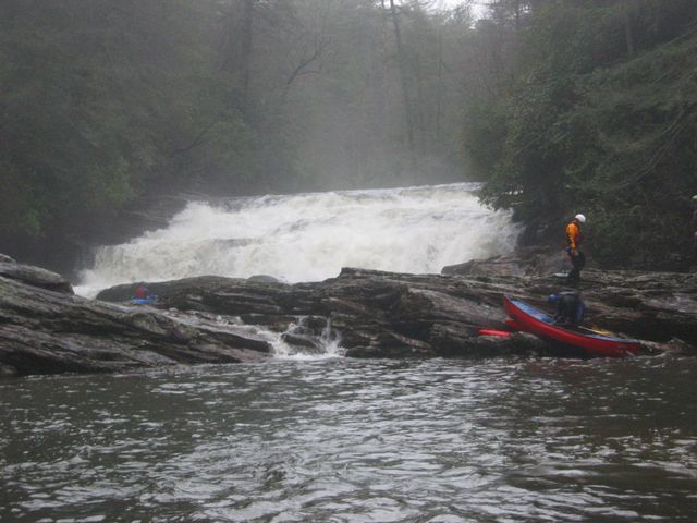
This waterfall is one of the largest drops on the river. Lines exist on the far right and left but the consequences of missing are large. In an emergency there is a trail head just upstream from the falls at the right bend in the river that goes up to the Big Bend road. Low Water
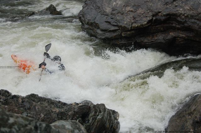
Significant drop signaled by a rocky slide upstream. A rock resides in the middle of the hole in the bottom of the drop. Run to either edge of the hole.
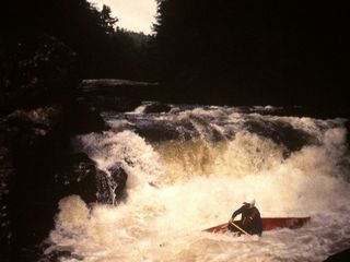
Drop into a large hole that is backed up by a rock that intensifies hole quickly with higher water. Trees tend to hang up here. There is an alternate route down river right if needed. Low Water
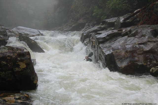
Converging water feeds into rock wall on left shore Low Water
Boulder garden rapid with hidden holes
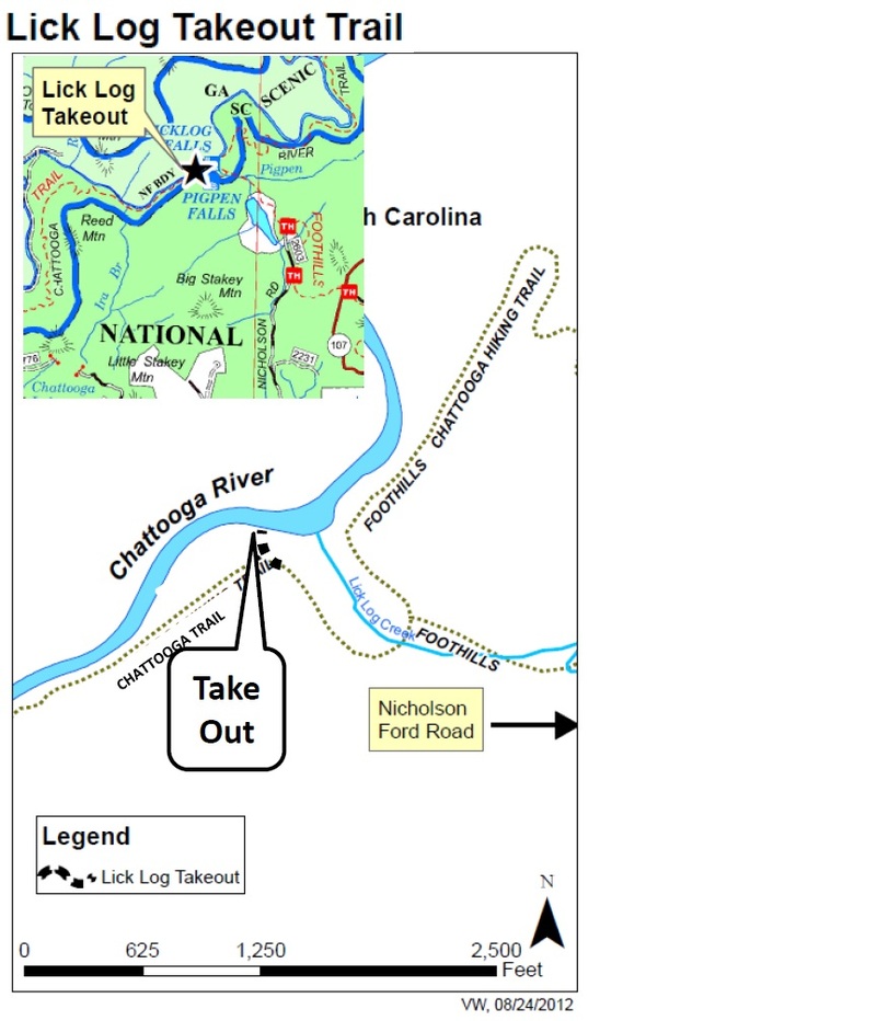
Designated Take Out, Emergency Access Point From the river to the parking lot is about 3/4 mile all uphill

This should be the take out except for an arbitrary decision by the Forest Service to protect a heavily stocked artificial trout park on the last two miles of this reach. Boating is banned on this reach with no justification.
Jan 3, 2021
Great day running Section 1 in packrafts. This was my last section to complete after working on (mostly) opening the river to paddling. We had a lot of fun, had to portage a couple things. Nice level, with plenty of water.
Dec 31, 2018
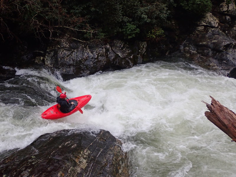
Looking down at Harvey Wallbanger and its approach at ~750cfs
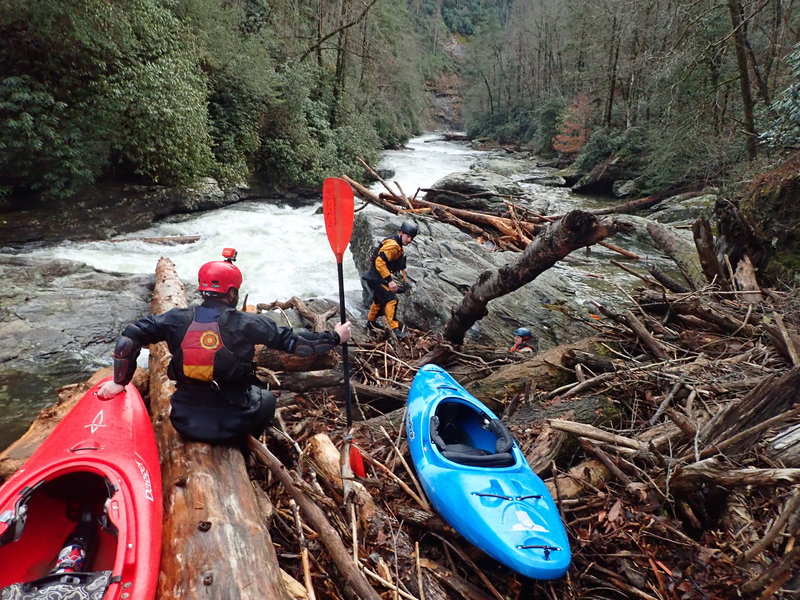
Dec 31, 2018
From a riverwide log blocking Upper Big Hairy Bastard