Birch Creek
St Route 343 to Little Miami at Jacoby Rd. **Access Restricted**

| Difficulty | II-III+(IV) |
| Length | 4 mi |
| Avg Gradient | 20 fpm |
| Permit | This is closed for now by the college. |
| Reach Info Last Updated | August 14, 2017 |
Birch Creek is a small (and unfortunately restricted) creek in SW Ohio through Glen Helen Park. The university restricts access to hiking only. You can access the river from outside the Park, but expect to run into trouble if you try to boat it. Is it possible that one day things will change? Yes. Right now it is unlikely.
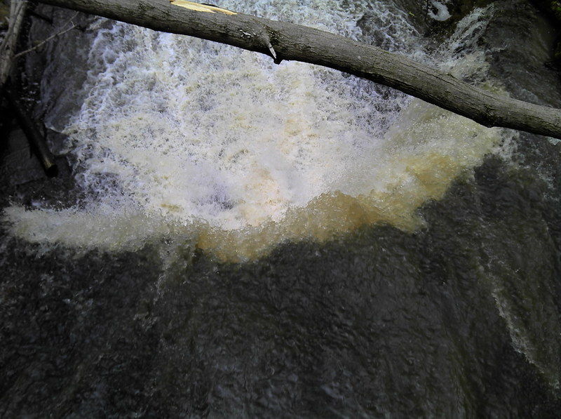
The river has several waterfalls and sliding ledges. The main falls is boatable but does land on rocks. It would be painful if you land badly, but there are far worse drops out there that get boated. The takeout is on the Little Miami below Clifton Gorge.

At our listed put-in, drainage area is about 4.23 square miles (as calculated by USGS StreamStats 4.0 beta software).
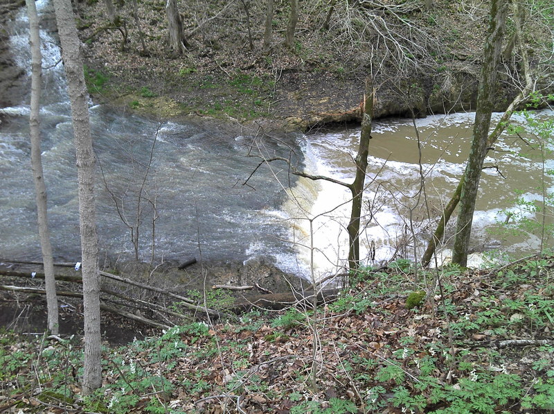
At 1/4th mile into your run, you'll see the bridge to the Glen Helen Raptor Center and Glen Helen Outdoor Education Center. This is where the action takes off as you enter 'The Cascades'. A foot trail ('The Inman Trail') parallels the creek (at river-right) over the next quarter-mile.
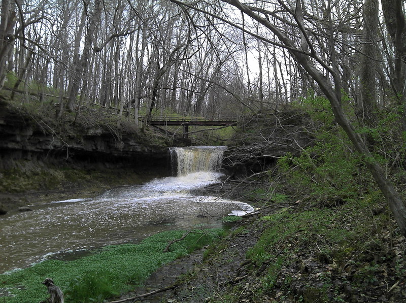
Glen Helen Falls is a short waterfall onto a ledge. (At present, if you go to Google maps, you can find associated picture(s) of this falls.)
At 2/3rds mile, Birch Creek ends as you confluence with Yellow Springs Creek. It has ~4.92 sq.mi. drainage at this point, thus (most likely) meaning from here to the Little Miami, you'll have slightly more than double the flow.
Just after passing the Glen Helen Covered Bridge Yellow Springs Creek confluences with the Little Miami River. (The combined drainage area at this point is 115 sq.mi., with only relatively minor additional drainages contributing in the next ~2 miles to your take-out.)
Birch Creek Cascades. Yes they are illegal but the line is fairly simple.