Deschutes
05. Dillon Falls to Aspen

| Difficulty | IV+ |
| Length | 1.3 mi |
| Avg Gradient | n/a |
| Gauge | Deschutes River at Benham Falls, or |
| Flow Rate as of 8 hours | 1430 cfsrunnable |
| Reach Info Last Updated | May 23, 2018 |
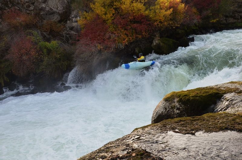
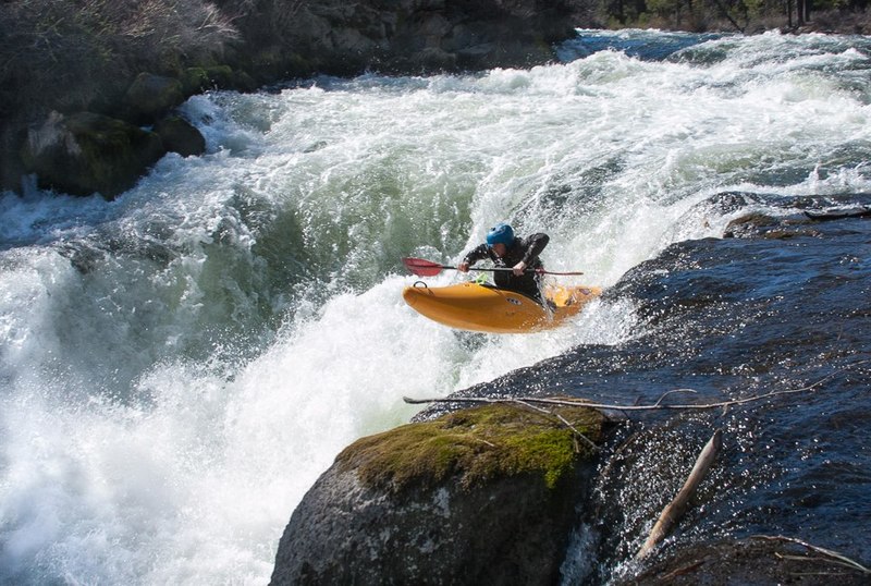
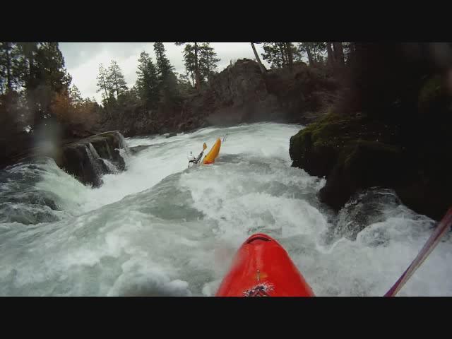
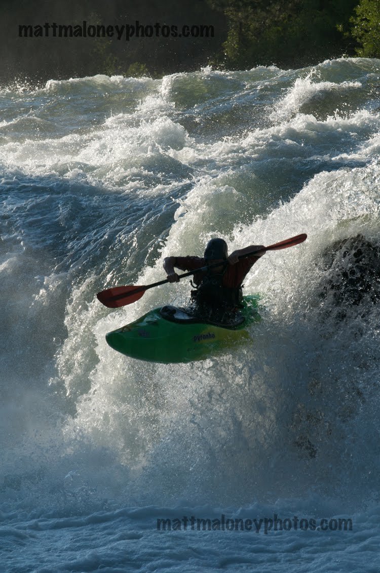
This run is really just one rapid. Dillon Falls consists of a 10-12 foot ledge that leads immediately into a 1/4 mile long canyon. Dillon is runnable year round, but the lines on the falls itself vary widely depending on the water level.
At winter flows (500 to 1100 cfs) the normal line on the falls is far right. After a tricky entry you ride down a narrow shelf and off a 6 foot auto-boof. It's a tough line to nail. Lots of boaters fall off the left side of the flake into the horseshoe, but nobody seems to actually get stuck. A boof line on the far left is also an option. This line is easier to hit, but the consequence is higher, because of a rock shelf that you could potentially land on.
At summer flows (1700 and up) the line is far left, boofing one of 3 fingers on the shelf. In between levels can be the most difficult levels for the falls. The right line closes out, due to a large hole in the lead in. The left line has a small margin for error, because the shelf does not yet have enough water flowing over it.
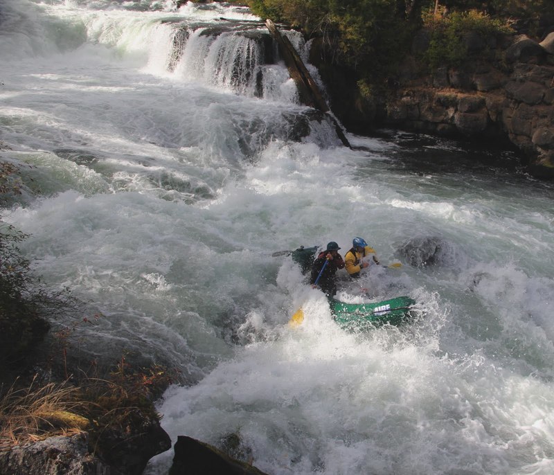
Immediately after the falls is the river-wide 'Dill Hole'. This one deserves your respect at all levels. It is biggest in the center of the river. At low water, you can avoid the hole far right, sub out through the far left, or boof it down the middle. If you choose to take the hole on, it is a boof or swim situation. Many boaters have taken major beatdowns in Dill Hole and it has definitely caused its fair share of swims. At high water, a seam develops on the far left. Not as many people get stuck at high water, but it still flips a high percentage of paddlers.
After the Dill Hole, the canyon continues for a few hundred yards. At low water, it is read and run class IV. At high water, it is a rowdy big water slalom, moving left, right, and back to the left to avoid 3 big holes.
Dillon Falls at summer flows: https://vimeo.com/70447219
Dillon and Lava at winter flows:
...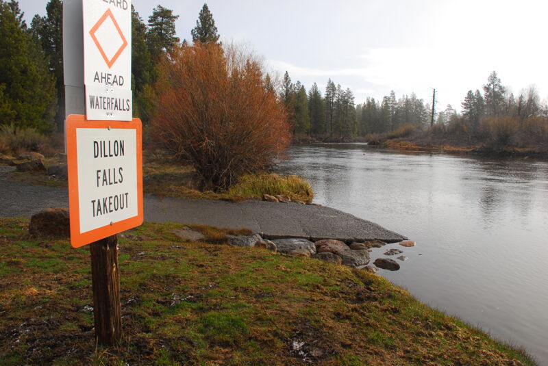
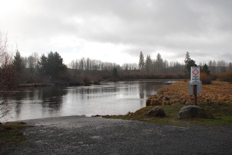
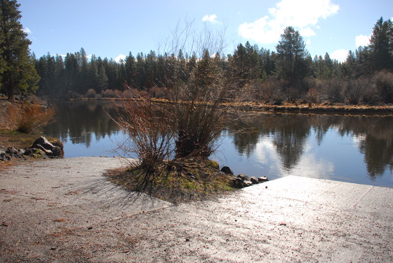
Recreation fee site administered by Deschutes National Forest with boat ramp, toilet, and picnic tables. This is primarily managed as a take-out for those paddling the reach upstream who want to exit the river before Dillon Falls.
One rapid on this short stretch that can be scouted from the river left bank.
Recreation fee site administered by Deschutes National Forest with boat ramp, toilet, and picnic tables. This site is primarily managed as a put-in for those headed downstream from this point.
Oct 11, 2013
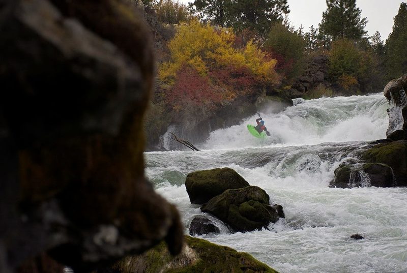
Dillon Falls from downstream. Dill Hole is in the foreground.