Eno
2. Route 1567 below Duke Dam to US Route 501
| Difficulty | I-III |
| Length | 8.7 mi |
| Avg Gradient | 13 fpm |
| Gauge | Eno River Near Durham, Nc |
| Flow Rate as of 43 minutes | 2.08 ftbelow recommended |
| Reach Info Last Updated | December 12, 2025 |
This reach of the Eno River can be broken up into two sections:
Pleasant Green Canoe Access to Cole Mill Road
(Section 3 in 'Paddling Eastern North Carolina')
Cole Mill Road to West on the Eno City Park.
(Section 4 in 'Paddling Eastern North Carolina')
The entire reach is protected by [Eno River State Park](http://www.ils.unc.edu/parkproject/
visit/enri/home.html) and West Point on the Eno City
Park. Both sections can be run in one day.
Time estimates at about 4' on USGS:
Pleasant Green Rd to Cole Mill Rd is about 1.5 hours
Cole Mill Rd to Guess Rd is about 1 hour
Guess Rd to West Point on the Eno(US501) is about half an hour
To Pleasant Green Canoe Access:
From Durham I-85 south to Highway 70 west(exit 170), turn right on Pleasant
Green Road, turn left into Canoe Access area just before crossing the river.
To Cole Mill Canoe Access:
From Durham I-85 south to Cole Mill Road(exit 173), north on Cole Mill Road,
left on to Old Cole Mill Road, access is at end of road.
Pleasant Green Canoe Access to West Point on the Eno City Park:
Take left out of canoe access parking lot onto Pleasant Green Road, right onto
Cole Mill Road. Turn left onto Umstead Road. Turn right onto Guess Road. Go
a short distance and turn left onto Latta Road. Turn right onto US501(Roxboro
Road). Cross river and turn right into West Point on the Eno City Park.
Follow road to parking area close to the old mill.
Pleasant Green Canoe Access to Cole Mill Road Canoe Access:
Take left out of canoe access parking lot onto Pleasant Green Road, right onto
Cole Mill Road. Turn right (at Umstead Road) onto Old Cole Mill Road, access
is at end of road.
May 5, 2010
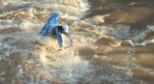
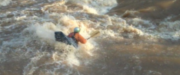
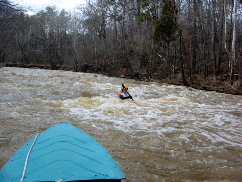
This is a screenshot from some video I shot at Geer Dam on the Eno. A sweet V wave forms at certain levels off the corner of the dam where it was broken. Great spot for lefty blunts! The level was around 5.3 on the AW site.
Dec 8, 2009
PLlease, Streamkeeper, don't keep sending paddlers down the Eno at 3' ft and under.While hiking, I have seen and rescued many a novice and low-intermediate paddler go broadside against rocks, flip, lose boat and paddles and, occasionally, need rescuing. Under 3' is a very technical run in Bobbit's Hole or at the broken dam near Guess Road. le scott, Dec 09
Apr 23, 2006
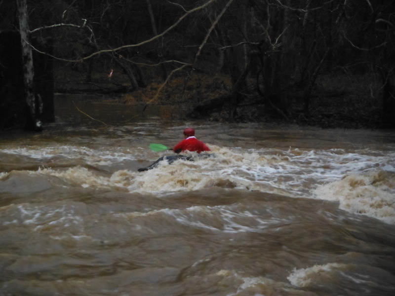
First trip on the Eno since the dam was modified. The minimum may need some adjusting. We ran the river at 3.75 on the USGS. The visual gauge said just under 2'(see pictures). Most of the rapids were washed out. Still some good surf waves, but nothing too difficult. I prefer the river about 6' lower, the drops are a little more defined. Still, we highly recommend this river, one of the prettiest runs in the Triangle.
Aug 4, 2004
8/4/2004
We paddled this at 2.9' (USGS Gauge) yesterday (8/3/2004) and there were three or four trees across the river between Pleasant Green Rd and Cole Mill Rd. Not much problem getting over/under them at this level. Most of them would be farther underwater at higher levels, but at least one could be a danger at higher levels. Just be aware and keep your eyes open.
Feb 15, 2004
This is the old Guess-Geer Dam, close to the Guess Road Bridge. The right side of the dam is blasted away.
There are many, nice rapids between the Colemill Park and WestPoint. At 4.0 on the USGS gage, the river is a class 2+, at 6 feet it gets pushy, at 8 feet, it's similar to the Ocoee
This is a trouble spot for many novice canoers. At 4 feet is class 2+, but get quickly to a 3+ at higher levels
This is the old Guess-Geer dam, close to the Guess Road Bridge. The right side of the dam is blasted away.
Scouting is recommended at any level.