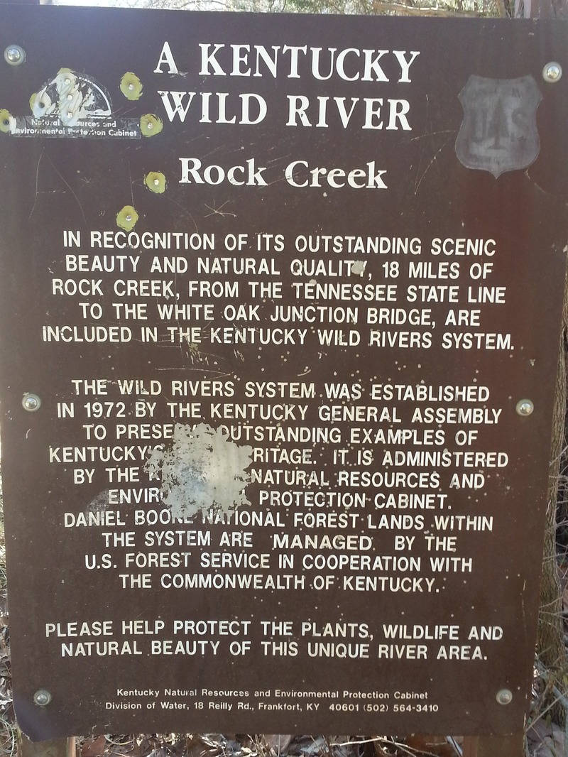
Rock Creek (Cumberland trib)
B) Wooden Bridge to White Oak Junction (7.4 miles)
| Difficulty | II-III |
| Length | 7.2 mi |
| Avg Gradient | 15 fpm |
| Gauge | South Fk Cumberland River at Leatherwood Ford, Tn |
| Flow Rate as of 1 hour | 6.77 ftbelow recommended |
| Reach Info Last Updated | January 25, 2014 |
Rock Creek lies entirely within the Daniel Boone National Forest and Big South Fork NRRA, and is one of Kentucky’s most precious natural resources. The 18 miles upstream of White Oak Junction have been protected as a Wild River since 1972, and are thus spared from the logging and coal mining that have devastated so many of Kentucky’s waterways. Even the lower portion of Rock Creek, which has for decades been tainted with acidic mine runoff, is slowly regaining its health thanks to the combined efforts of the US Fish and Wildlife Service, Forest Service, KDFWR, and the coal industry.
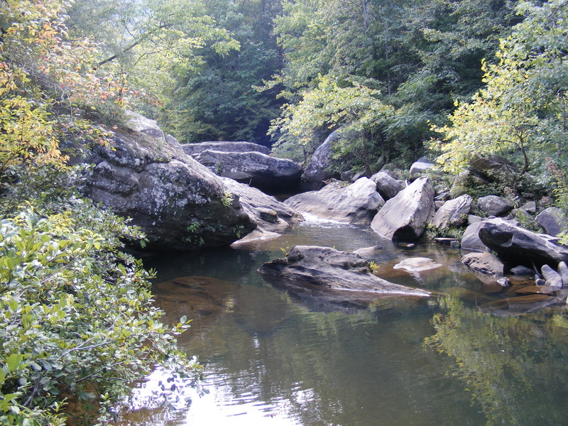
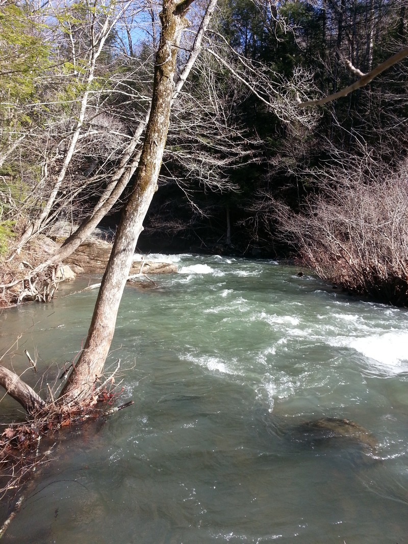
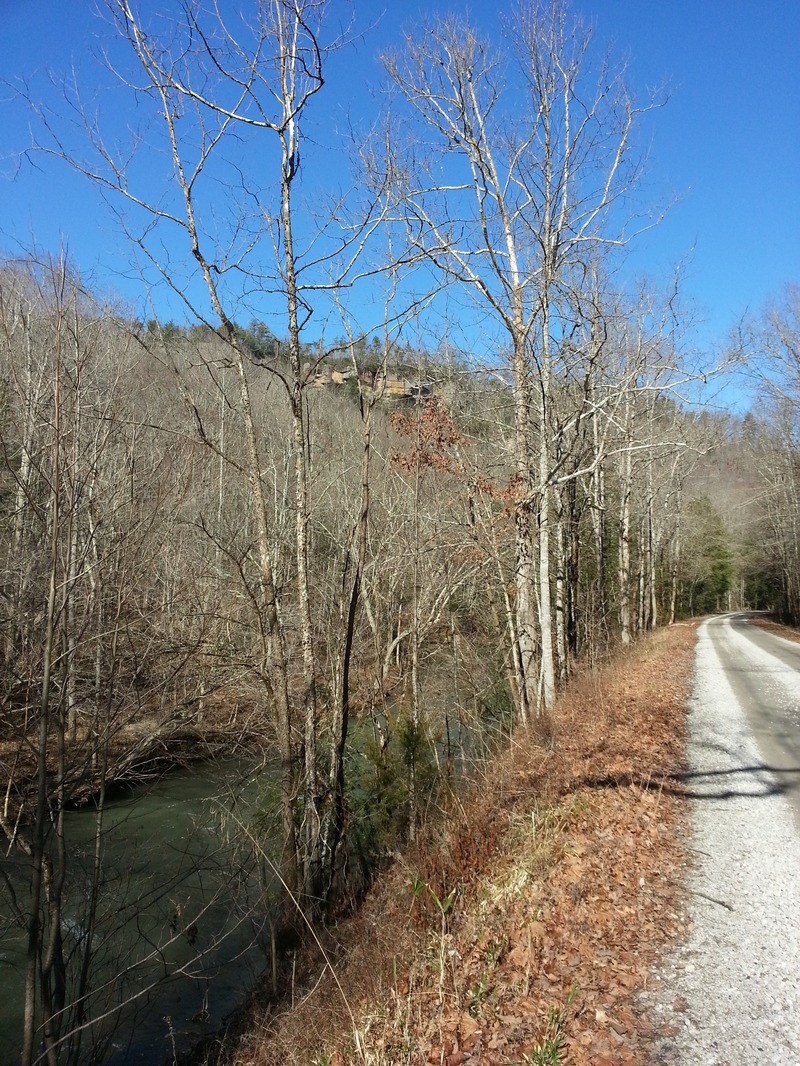
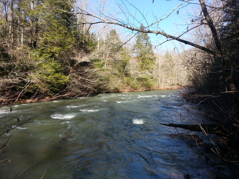
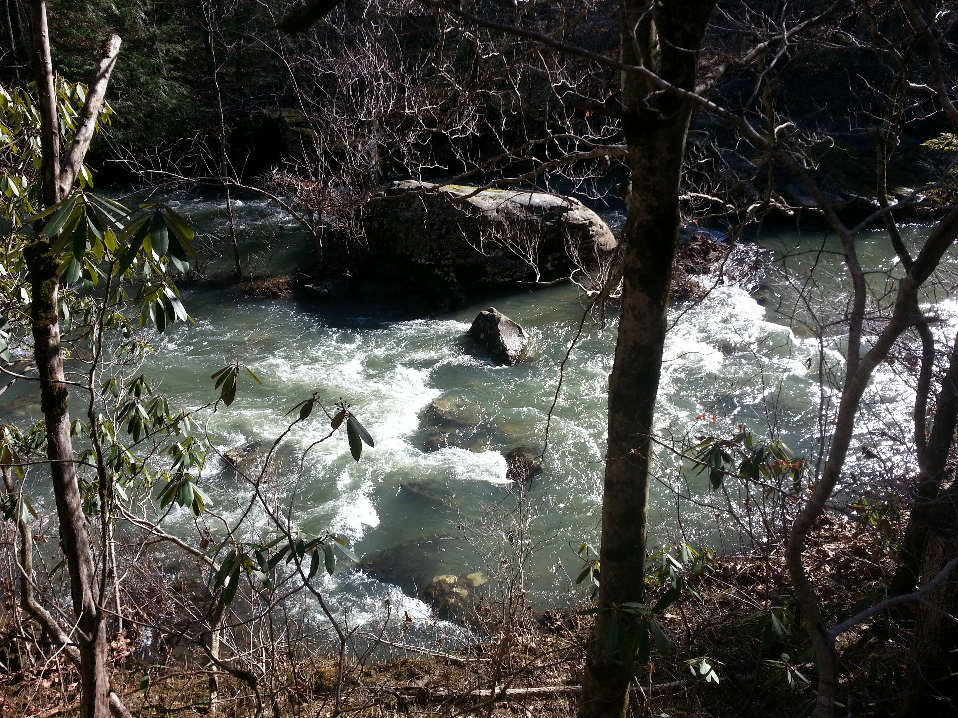
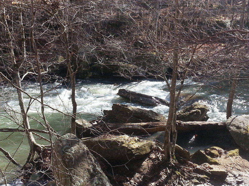
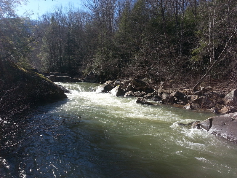
The middle section is arguably the most scenic, and features seven rapids in the class II to III spectrum, interspersed with lots of boogie water. Even the flatwater is interesting as you wind beneath towering cliffs and amid giant boulders, some of which have 30-foot hemlocks growing out of them. While this section begins at the wooden bridge (third river crossing), there is a long stretch of somewhat denuded floodplain before the forest closes back around you and the first rapid appears. For this reason, the recommended putin is actually a little way downstream of the bridge. You will drive past a small inholding with a couple cabins and a rickety footbridge stretching across the creek. Put in just below, wherever it is convenient to park. Rock Creek/Bell Farm road parallels the creek for its entire length, so you can scope for deadfalls on the drive up.
Our thanks to Daniel Wheeler for this fine write-up!

There is a rickety wooden footbridge across the creek.
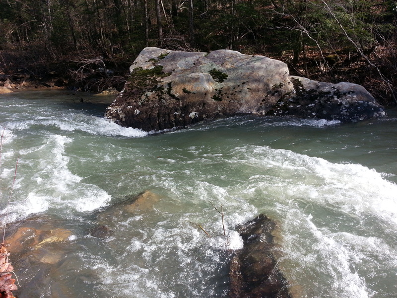
Boogie left around an island and then hang another sharp left to drop into this beautiful rock garden and begin the run in style!
(Note: mileage is NOT accurate, but being used solely to establish order at this time.)
Straightforward wave train.
(Note: mileage is NOT accurate, but being used solely to establish order at this time.)
Another easy wave train.
(Note: mileage is NOT accurate, but being used solely to establish order at this time.)
This rapid is so named because I once found two copperheads that had been run over while copulating on the road beside it. There’s a small sieve in the middle and the left line is slightly undercut, so keep to the right unless you’re feeling froggy.
(Note: mileage is NOT accurate, but being used solely to establish order at this time.)
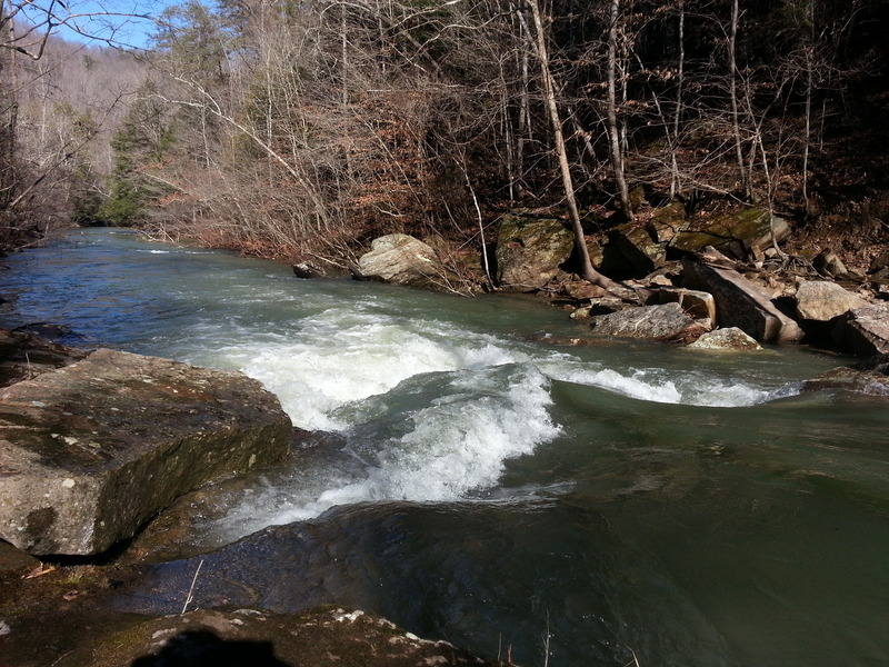
First real ledge drop with a nice tongue down the middle and a decent hole at the bottom.
(Note: mileage is NOT accurate, but being used solely to establish order at this time.)
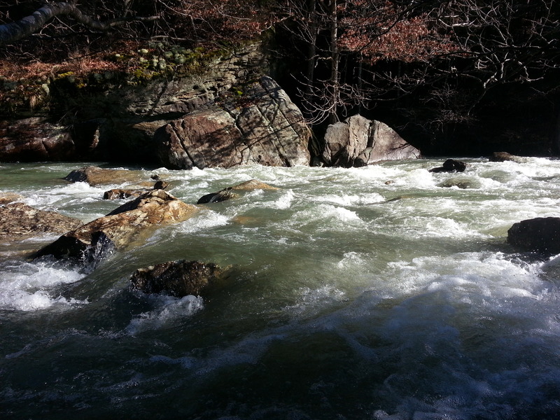
Look for a large slanted rock in the middle of the streambed that you must avoid. There’s a foamy flume to the left of it and a sweet boof to the right. If you choose the boof you must stroke with conviction, as a fair amount of water wants to go under the rock and will grab your boat if given the chance.
(Note: mileage is NOT accurate, but being used solely to establish order at this time.)
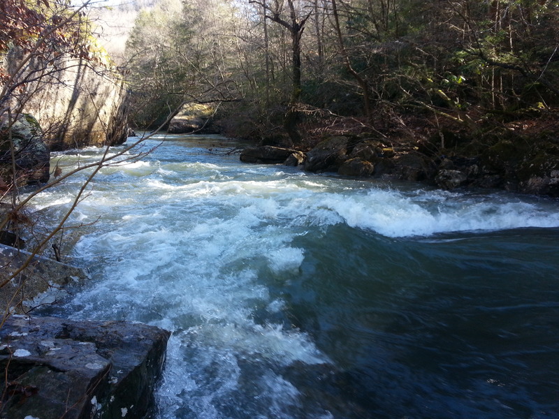
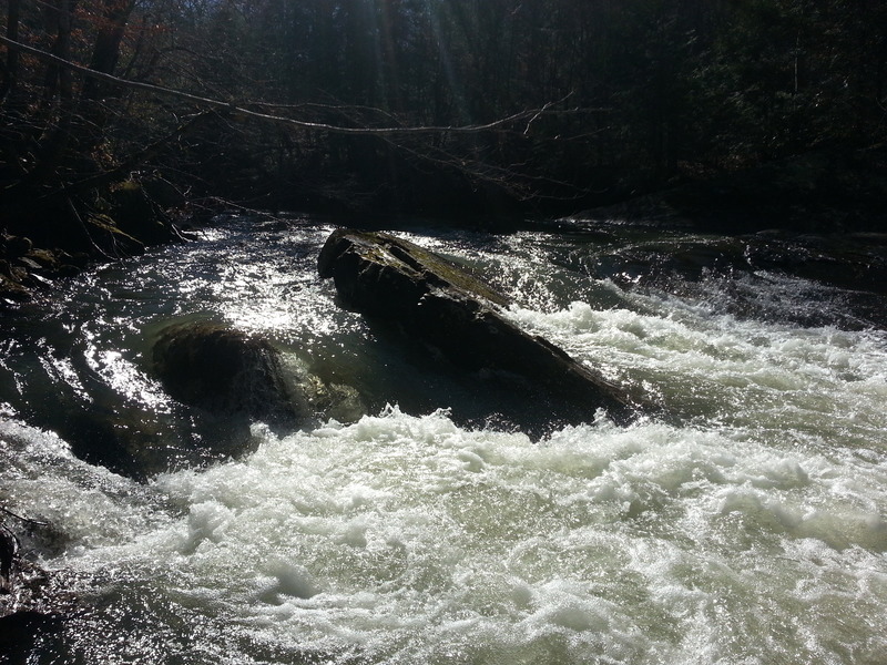
At low water this appears to be a fairly simple chute between two slabs of rock. At runnable levels it forms a huge hydraulic that makes it look more like a ledge drop. This is the first really big hole on the creek and should always be scouted. From here to the takeout it’s a busy class I+.
(Note: mileage is NOT accurate, but being used solely to establish order at this time.)
Jan 26, 2014
The lead-in to the first rapid