| Difficulty | II-III(IV) |
| Length | 3.7 mi |
| Avg Gradient | 27 fpm |
| Gauge | Tyler Forks River at Stricker Road Near Mellen, Wi |
| Flow Rate as of 1 hour | 5 cfsbelow recommended |
| Reach Info Last Updated | April 28, 2025 |
River Description
See some fine photos of this drop at: Panoramio.
River Features
Put In
Access PointDistance: 0 mi
Put in
OtherDistance: 0 mi
Minor rapids #1 ?
RapidDistance: 0.07 mi

All info presented is merely from aerial views (not from any first-hand knowledge or reports). Numerous areas appear to hold some hint of possible rapids. Listed here are just some of them. With sufficient flow, some of these may be good, some may be nothing.
Minor rapids #3 ?
RapidDistance: 1.75 mi
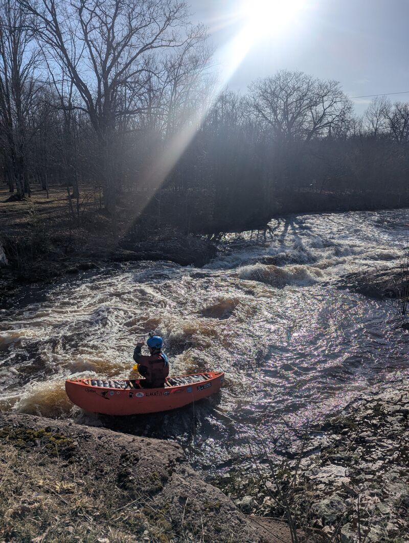
Warning/entrance rapids leading to Spring Camp Falls.
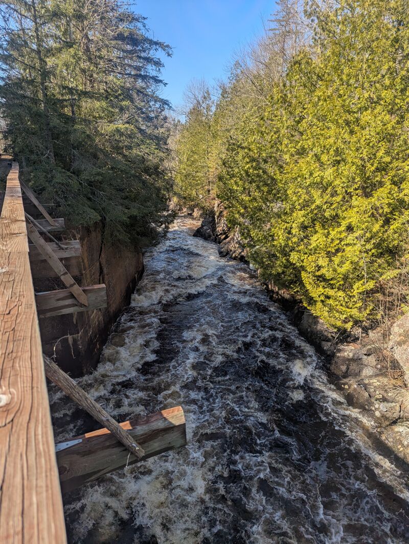
Spring Camp Falls
Waterfall / Large DropClass: VDistance: 1.88 mi
Drainage area at this falls is something near 38 square miles. This is slightly larger than (U.P.) Silver (34.5 sqmi at its gauge at Skanee Road) and Yellow Dog (31.8 sqmi at gauge at Upper put-in). (Those gauges are much too distant to presume to use them in to approximate flows here, of course, but the mention is solely to give relative drainage area and possible flow/size perspective.)
A blog with photos of this falls (and surrounds) is available at The Cookery Maven.
Second notable rapid
RapidDistance: 1.94 mi
Minor rapids #4 ?
RapidDistance: 2.4 mi
There may be a fairly long stretch of mild whitewater (with a possible ledge/hole thown in) in this area.
W.Branch Road
Access PointDistance: 3.26 mi
This may be used as the take-out (if shoulders allow parking -- unknown), or it may be worthwhile (or necessary) to use the lower listed take-out location (if it is better).
(It is interesting that the road is called West Branch Road, while most every label I find for the river is called West Fork!)
USGS lists a sampling site at this location citing drainage area of 38.6 square miles.
Take Out
Access PointDistance: 3.76 mi
Trip Reports
Log in to add a reportNo trip reports yet.