Hominy Creek
Sand Hill Road to French Broad River
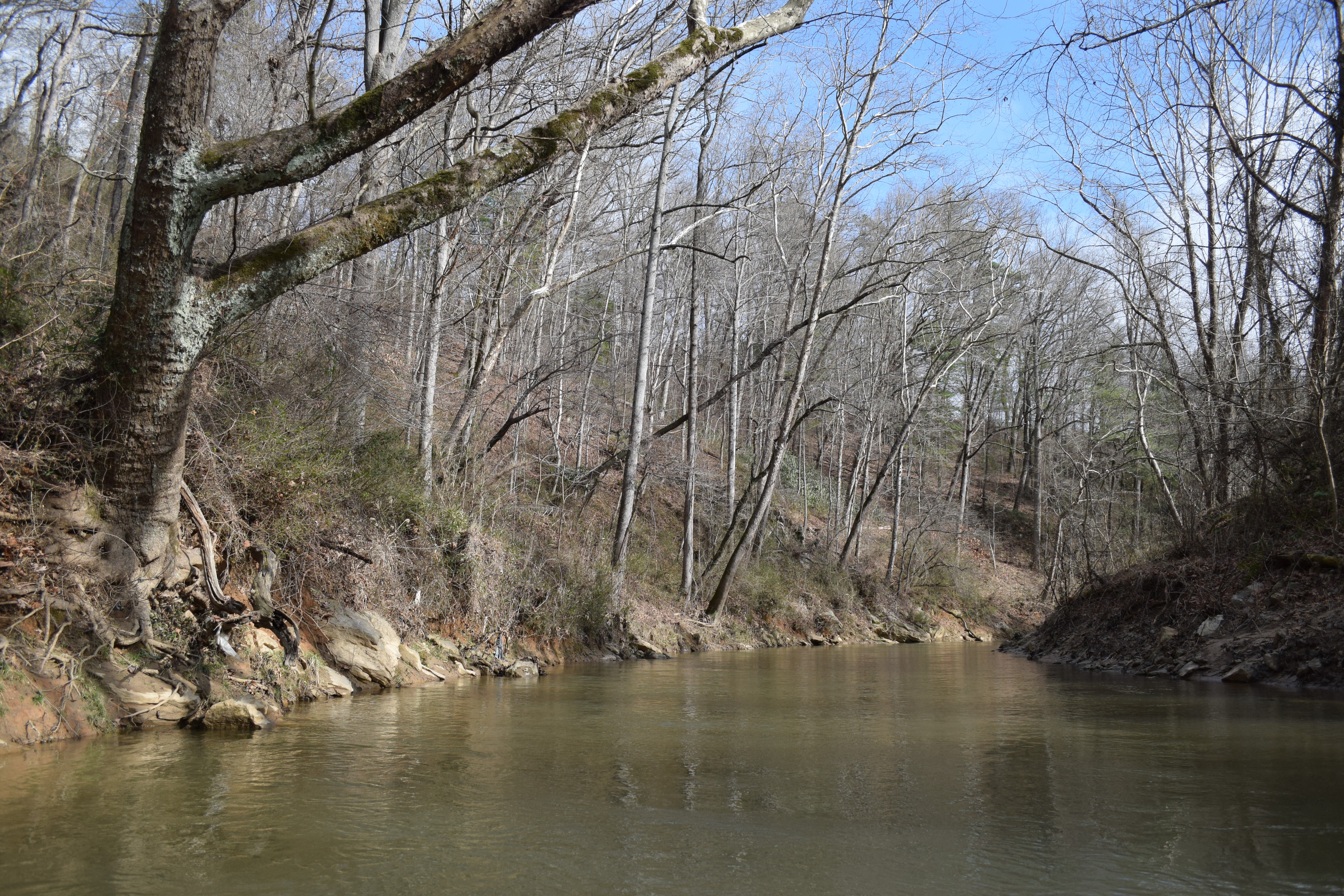
| Difficulty | II+ |
| Length | 6.8 mi |
| Avg Gradient | 20 fpm |
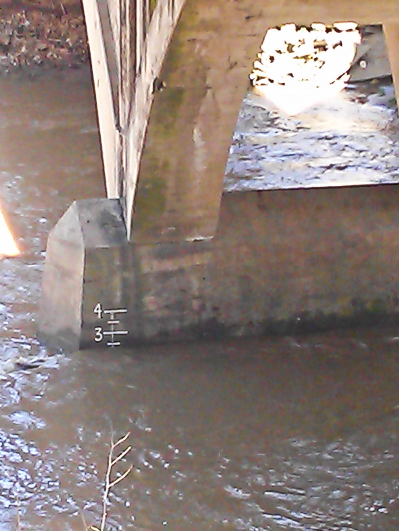
| Gauge | Hominy Creek Nr West Asheville, Nc |
| Flow Rate as of 54 minutes | 1.36 ftbelow recommended |
| Reach Info Last Updated | January 11, 2022 |
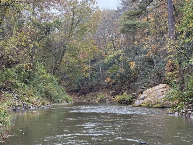
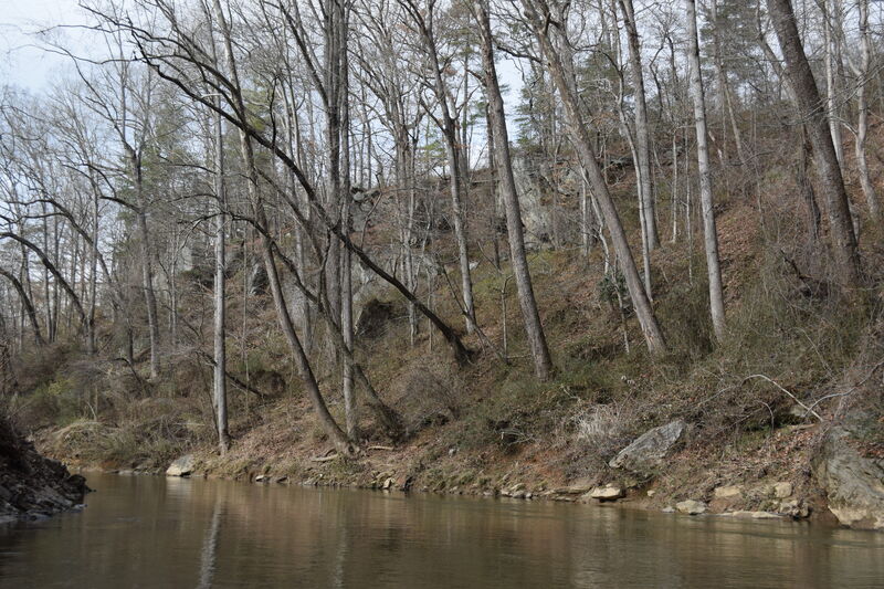
Hominy Creek is an overlooked urban river that winds through Asheville's malfunction junction, the intersection of interstates 26, 40, and 240. It passes under 12 bridges in the 7 miles between Sardis Road and it's confluence with the French Broad, but it's not all crumbling infrastructure and highway noise! Cattle graze the riverbank in unfenced pasture and (in places) mature forest thick with rhododendrons make you forget that you're touring the underbelly of southwest Asheville's light industrial zone.
Hominy is a good run for a class II-III boater with a sense of adventure who is prepared to portage around a strainer or two, or a local boater looking for a low impact training run with a very easy 3 mile shuttle. The natural riverbed is deep and sandy, with some rapids the result of natural geography, but most are formed by the artificial constrictions of the bridges. The rapids tend to form wave trains with good eddies and powerful eddy lines at the run out.
Free flowing Hominy Creek has a good sized water shed and runs often. The water quality is about what you'd expect from an agricultural, residential and mixed use watershed - bad. A 2021 flood may have moved some things around, so stay heads up.
Things to look out for:
A sewer line follows the course of the river, in the first 3 miles it crosses the river 3 times. Half a mile down from the put-in you reach the first crossing. At high flows you can pass over the pipe, at low flow you can pass under only if you're willing to flip over, float under and roll up on the downstream side. At medium flows the pipe is right at river level becoming your first portage (recommended on river-right). The second sewer crossing you can float under at all but the highest flows. Be on the lookout for wood as the water moves fast here. The third crossing is only seen at lower flows when you can pass over the pipe. It forms a kind of play feature, but because it is a straight pipe forming a hole, there
...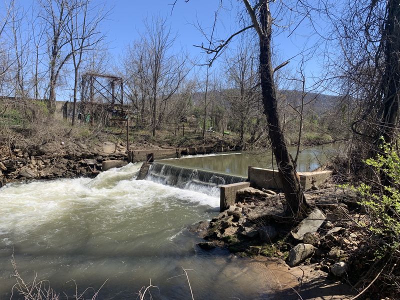
The low head dam shortly downstream of Sandhill/Sardis Rd requires portage on river left. Note this is upstream of the put in, included to discourage putting in upstream of it or at least encouraging portage.
It is fairly easy to put in beneath the bridge.
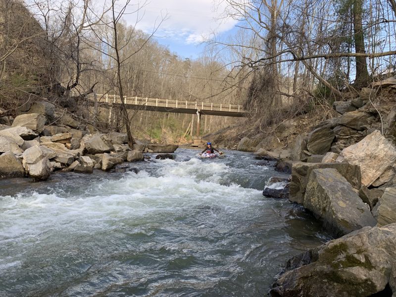
First significant rapid, about 1/2 mile past the Interstate 26 bridges. You can boat scout above the drop. Aim for the river right eddy below the drop to set safety or attempt a surf.
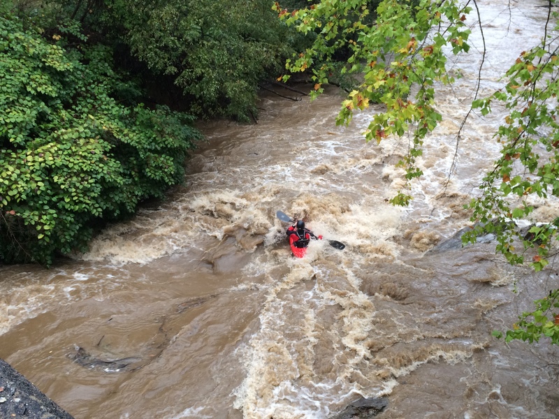
That's right. Science of Mind. This rapid is beneath the Bear Creek Road Bridge. Fun little Class II move.
Oct 29, 2025
See my full report with pics and notes at my homemade Google My Map (link)