Apple
C) Apple River Falls (0.55 mile)
| Difficulty | II-III |
| Length | 0.5 mi |
| Avg Gradient | 60 fpm |
| Gauge | Apple River Above 05341499 at Park in Somerset, Wi |
| Flow Rate as of 58 minutes | 304 cfsbelow recommended |
| Reach Info Last Updated | May 24, 2025 |
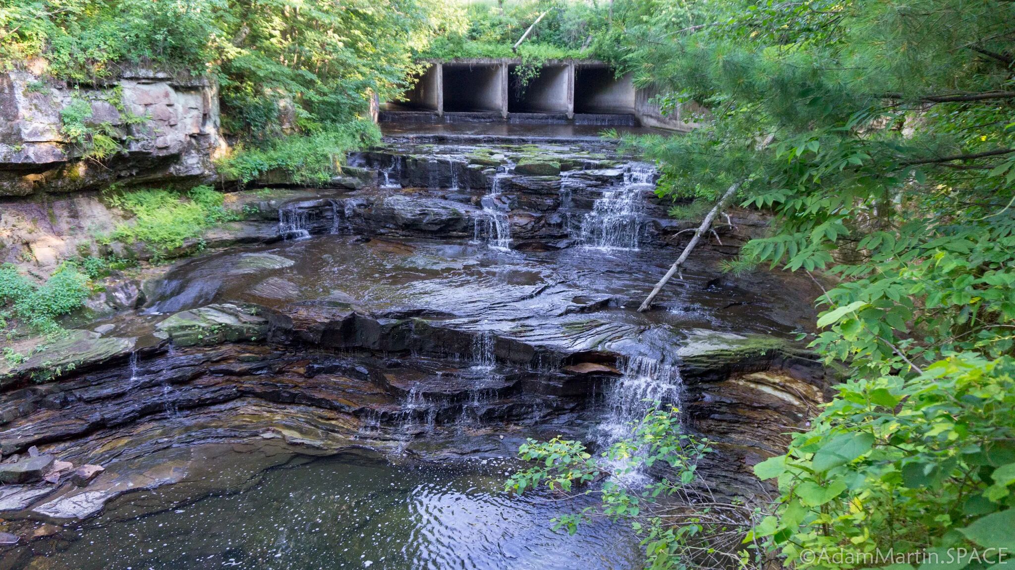
A few miles downstream of the popular 'tubing' stretch of the Apple River in Somerset) the river enters a backwater from a dam. Most of the flow (most of the year) will be diverted through a penstock into a power plant for hydropower generation. When flow exceeds capacity of the penstock and generation demand, water may be allowed in the normally bypassed reach.
At least one good ledge (and it appears there may be more) could create some whitewater interest. We have no specific awareness of any runs of this reach. Anyone having more boater-specific info is encouraged to help your fellow boaters out by providing a comment or report! Are there more ledges? Or is this it?

A view of the 'Falls' right below the dam is available at: https://www.youtube.com/watch?v=EQCdnpI6EpY

USGS lists a sampling site here with drainage area of 579 square miles.
That makes drainage area here just 6% more than at Somerset, so we are using the same 'virtual gauge' as we established for Somerset. Correlation is not assured. Flow *may* be affected by the dam. On-site inspection required to confirm runnability.