Green
0. Dries, Summit Lake Dam to powerhouse
| Difficulty | III-V |
| Length | 1.4 mi |
| Avg Gradient | n/a |
| Reach Info Last Updated | April 28, 2025 |
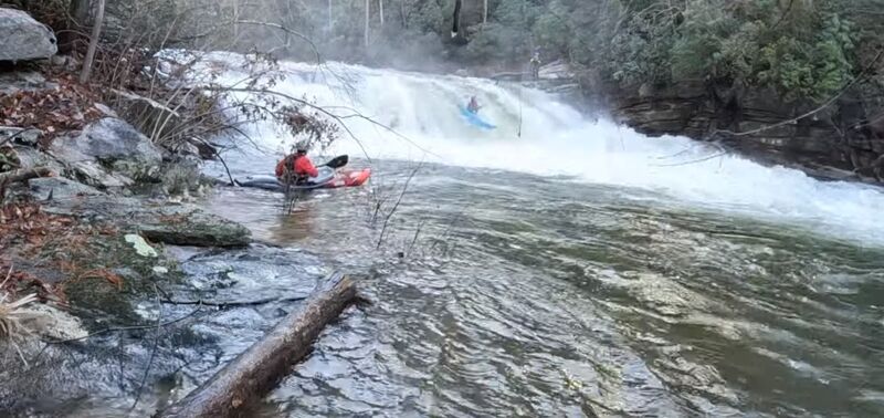
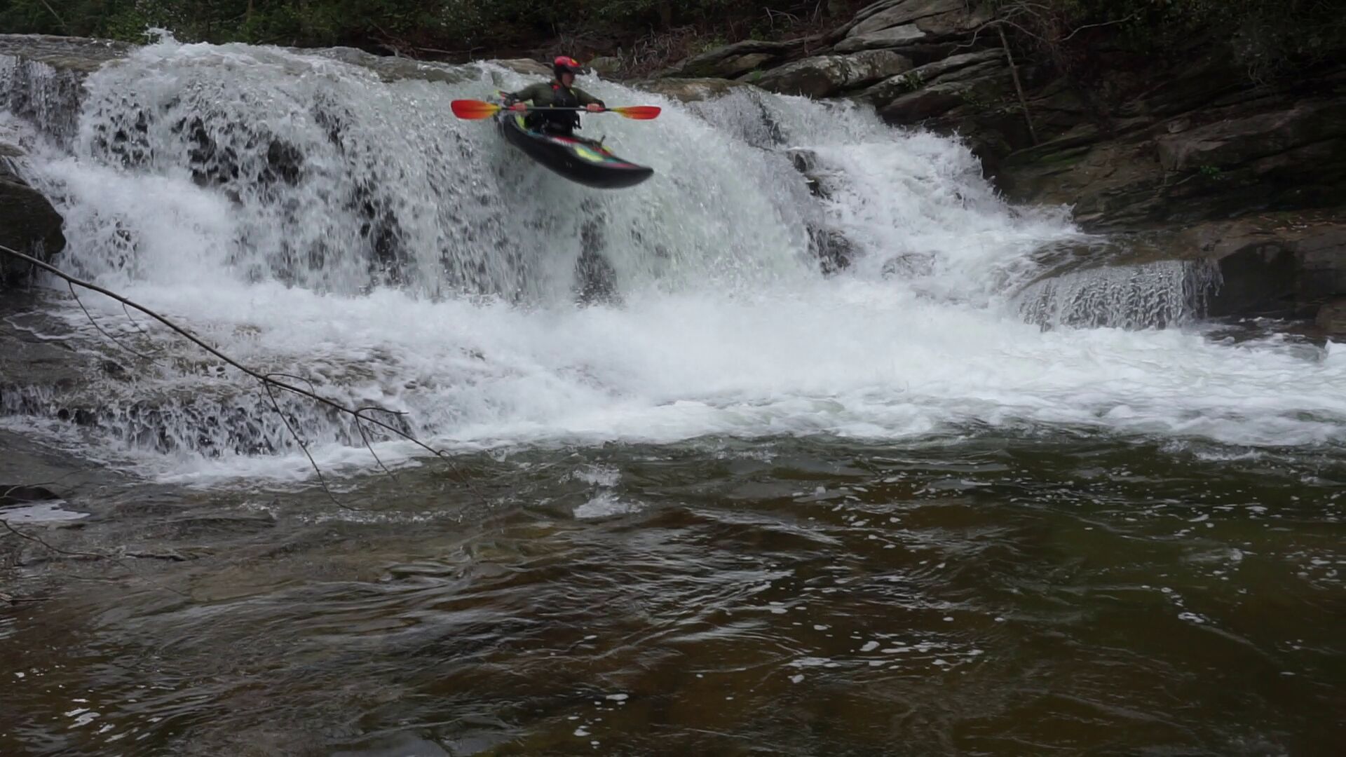
The Green dries are running more consistantly after hurricane helene since the power house was hit by a landslide and water is no longer being diverted. To access the put in go to the old bridge on 176 south of Pot Shoals rd (the upper green put in rd), north of South Lake Summit Rd. Either hike down the trail beside the parking lot or cross the bridge and hike the trail on the other side. Both sides are steep slick and riddled with land slides. Bring a rope to lower boats. Depending on water levels put in just below the dam (high water) or below the drop after the dam. The first few rapids are easy and scrapy. Many of the trees taken out by the storm gather on river left, most of the run has been cleaned up nicely from the storm but this spot and one spot towards the end have gathered a lot of wood. The first real rapid is the set of three slides beneath the bridge. After the slides and island splits the river, both sides are manky and miserable. Make it through the mank and the river narrows up and gets slightly more difficult and more fun. There are several small drops into tight spaces between rocks and wood. When most of the flow hugs river left and the walls on the banks get steeper there is a rapid that drops between the river left wall and a large boulder follwed by Mini Hammer Factor. One more manky drop in between rocks and the river changes characteristics. Things mellow out and then you enter a section of slides. The last slide being the largest. You can then scout power house drop. There are rock shelves on both sides of the landing, boof just right of the small rooster tail at the lip of the drop for the softest landing. Take out at the upper green put in on Pot Shoals rd
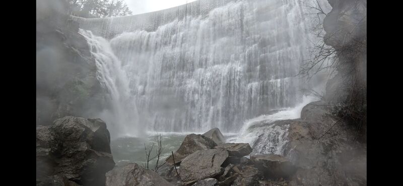
Park in the parking area of the old bridge on 176 hike down the trail from the parking lot or cross the bridge and follow the large black pipes. Bring ropes to lower kayaks, both sides are steep and slippery. Put in below Lake summit dam
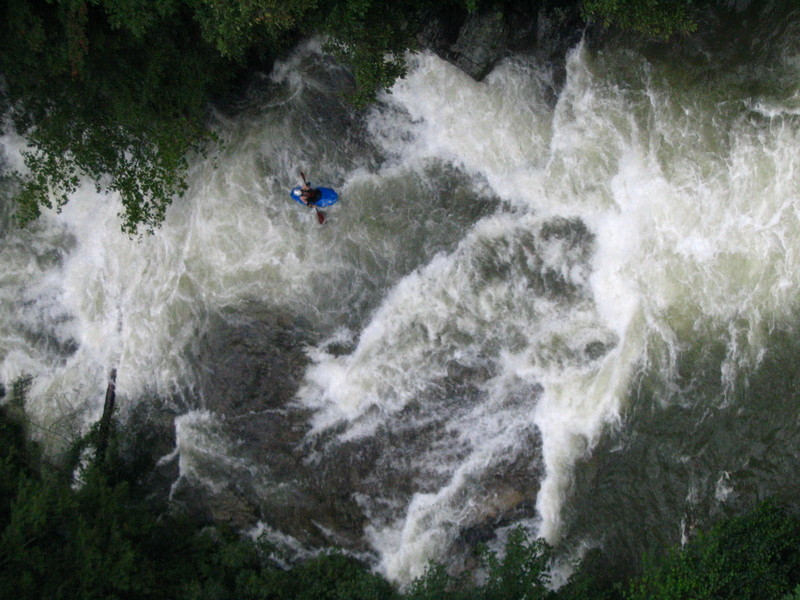
The first significant rapid, as you approach the bridge on 176. Follow the obvious lines on river left. The first slide is the largest by far and is easliy scoutable from the bridge.
The river is split by an island choose which side you want to scrape across. This is the worst part of the run. The approach & both sides have lots of exposed rebar. No place to flip. Left side has a lot of wood gathered in it but ends in a small slide & lines you up for the next rapid. Right side tends to be clean but doesn't set you up well for the next rapid.
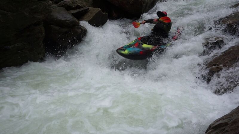
The main flow of the river pushes up against the left wall. There is a small 3 foot drop into a pool then a right to left move between rocks into a hole at the bottom. The right side is a really fun slide with some speed. A little left angle helps. The line is easy to see when you are above the rapid.
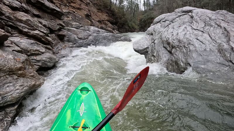
A blind turn around a boulder into a small right sloping slide with a kind hole at the bottom. At high water make sure to boof the hole.
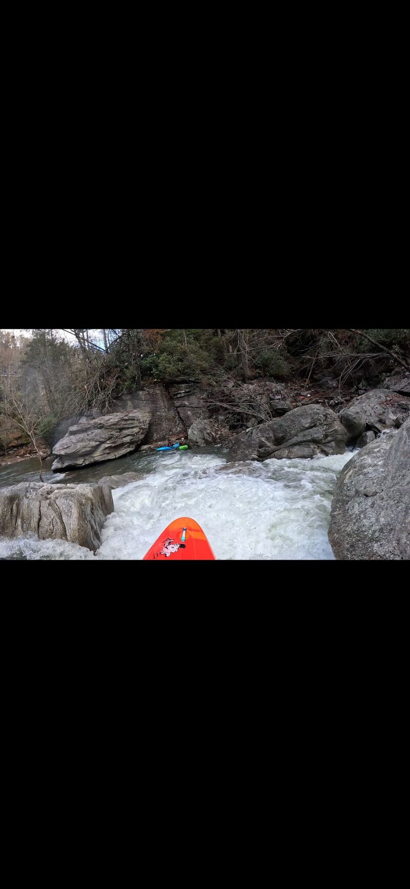
A manky drop into a rock jumble. Boof the center drop from the right and drive over the center rock upon landing or dry out on rocks on the left. There is a nasty sieve on the right side of this rapid that is pretty much out of play
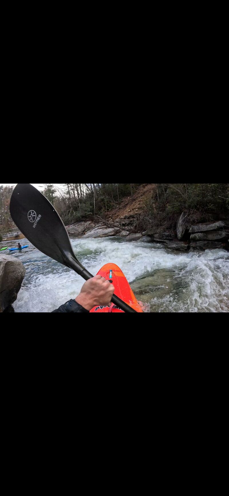
A series of fun slides signify the end of the run. The last slide is the biggest and has a fun boof into the large river left eddie.
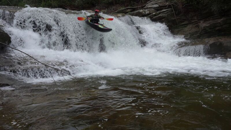
Both sides of the landing have rock shelves. Line the small rooster tail on your left hip & crunch on the boof.
Take out at the upper green put in after the power house on Pot Shoals rd
Apr 24, 2025
Lake Summit Dam was reading 100.39ft plus a little rain in the morning...half inch at best. Couple new downed trees blocked the river but easy to spot & portage. Lots of exposed rebar in parts. Right side of Vinny's rapid was a nice slide & would definitly take this line again. Pot Shoals Rd was closed & wish we would've known that before putting on.
Dec 11, 2024
Did a PFD on the Dries in mid December of 2024. Unsure of the level as the local gauges were still down due to Helene but it felt like a high flow based on other YouTube videos I've seen of the run. All the rapids were free of wood & good to go. Pretty significant hole developed above Powerhouse Falls. Portaged Powerhouse Falls as it was a little too burley for myself but one guy in our group ran it with now problem. The hike in was kinda rough. Park at the bridge & hike upstream on river right along the trail. Just find a spot to climb down. Would love to get back on this again.