Mollies Creek
S. Cemetery Road to CTH.K (2.35 miles)
| Difficulty | II(III) |
| Length | 2.4 mi |
| Avg Gradient | n/a |
| Reach Info Last Updated | January 29, 2025 |
This small creek (drainage of about 10.5 square miles at our listed put-in) runs parallel to Morrison Creek, which it is a tributary of. With only about 1/9th the drainage area of Morrison, this will take a lot of water to be boatable.
Mollies Creek dumps into Morrison Creek just downstream of our listed take-out. Boaters are likely to continue downstream to complete that run. The combined drainage area after that confluence is about 114 square miles, so the flow will likely be about ten-to-eleven times what you had on Mollies.

With drainage area at our listed put-in being a mere 10.5 square miles, flows *could* be expected to be just 1/70th the flow of the USGS gauge for the Black River at Neillsville.
(Obviously correlation would not be exact, and that gauge might lag both on rise and fall, as well as likelihood that rains could affect different parts of the watersheds differently.)
Jul 16, 2024
The interesting thing about Mollies is that despite its small drainage area, it runs more often than you would think. It drains some the same wetland as Morrison Creek does to the east, which props up the flow. For the same reason, Morrison Creek also runs longer after a rain than it's size might belie. Mollies may be better thought of as the North Fork of Morrison Creek.
Jan 1, 1900
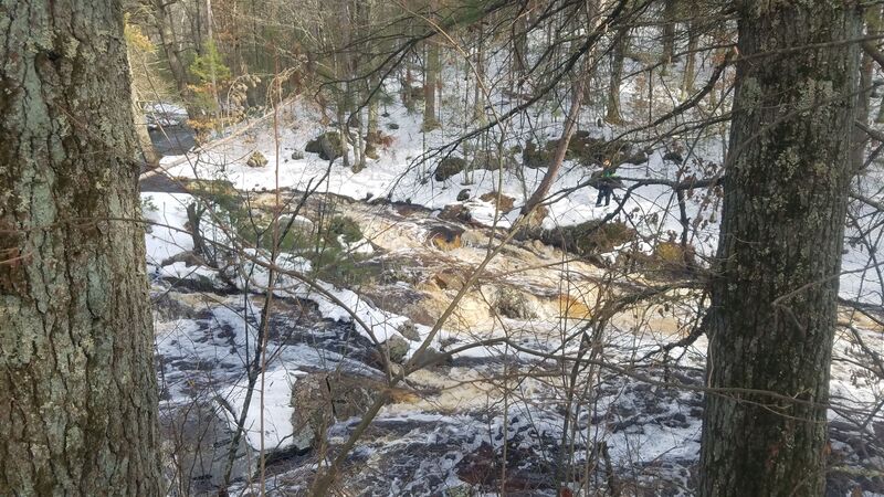
The biggest drop on the run. There are two lines on river left that are good to go.
Jan 1, 1900
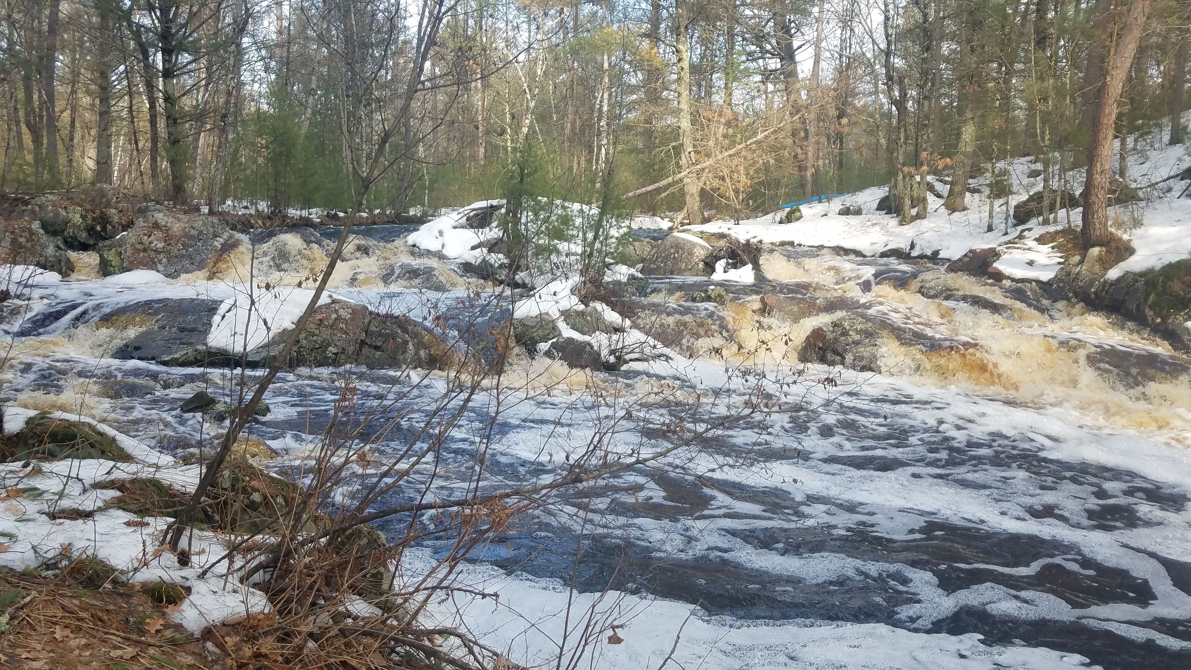
View from river right.
Jan 1, 1900
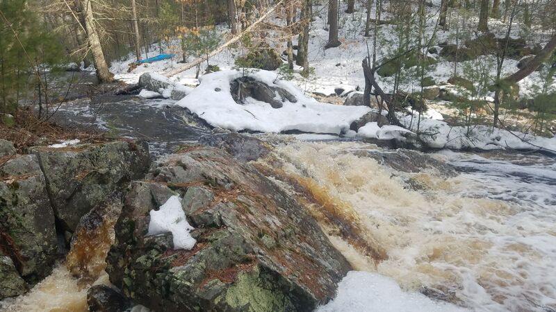
The right side of Mollie Hatchet. No good line available.