Toe, South
3. Carolina Hemlocks Camp to Route 1152 to NC 80 to Route 1131
| Difficulty | I-II |
| Length | 16 mi |
| Avg Gradient | n/a |
| Gauge | South Toe River Near Celo, Nc |
| Flow Rate as of 1 hour | 213 cfslow runnable |
| Reach Info Last Updated | December 12, 2025 |
Carolina Whitewater, B.Benner
Oct 11, 2008
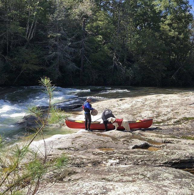
Ran from carolina hemlocks down to next public bridge at 900 cfs in a mad river lagend and had a blast. Awsome canoe action! nice and splashy. Then went down to blue rock road and put in again that day. It really was good. portaged around first big one(should have ran it) and down to hwy whatever. Old man told me of awsome emerald mine. Beautiful canoeing river, highly recomended.Team scum.....