Salmon
Forks of Salmon to Nordheimer(Forks Run)
| Difficulty | II+ |
| Length | 4.3 mi |
| Avg Gradient | n/a |
| Gauge | Salmon R a Somes Bar Ca |
| Flow Rate as of 42 minutes | 261 cfsbelow recommended |
| Reach Info Last Updated | January 5, 2026 |
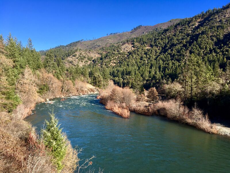
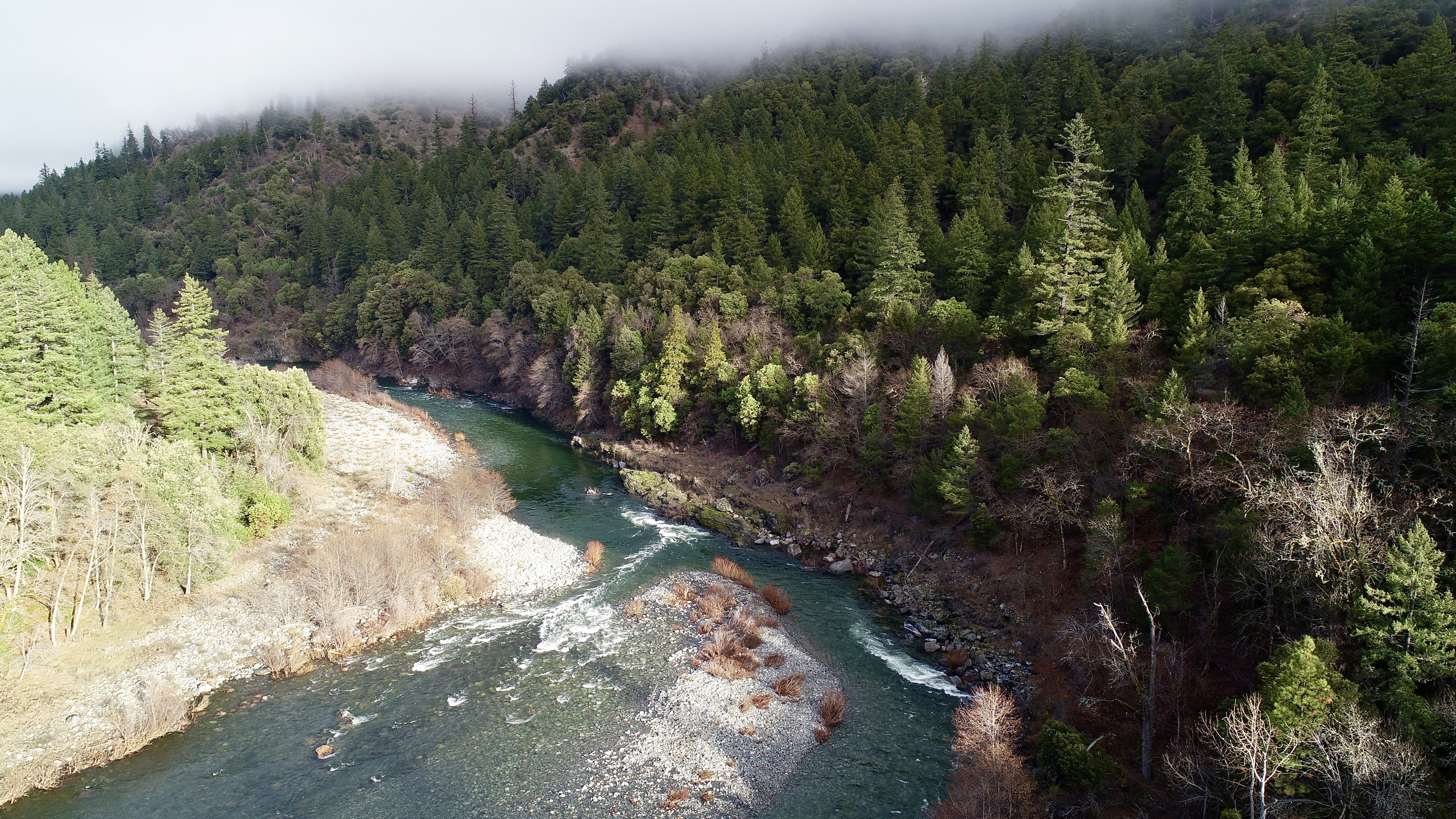
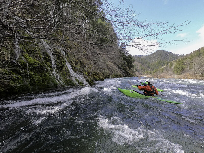
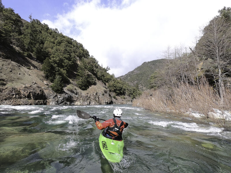
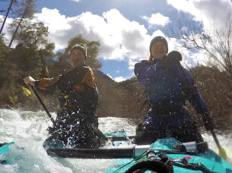
Most paddlers think of raucus Class IV/V rapids when they think of the Salmon River (Karuk: Masúshav), but this section is not like that at all. From Forks of Salmon to Nordheimer (Karuk: Itróovutihirak), the river flows through a low gradient reach with numerous Class II rapids, surf waves, and some interesting boils and folds. It is the least challenging section of the entire 19.2-mile-long river, and it offers a great and worthwhile Salmon River experience. It's a recommended add-on for any boaters that are camping at Nordheimer Campground and boating the Methodist Run on the South Fork Salmon or the North Fork Canyon: why not just paddle back to camp?
This is an excellent run for newer paddlers, drift boat anglers during fishing season, and those just looking for a beautiful run without too much to stress about. It's suited for all craft and is even a good tubing run in summer. Wildlife is abundant and it isn't unusual to see packs of otters, mergansers, herons, eagles, deer, mink, and bear. There is more private property along this run than on most others on the Salmon River: you'll see about four homes from the river but will float through several private properties along the way.
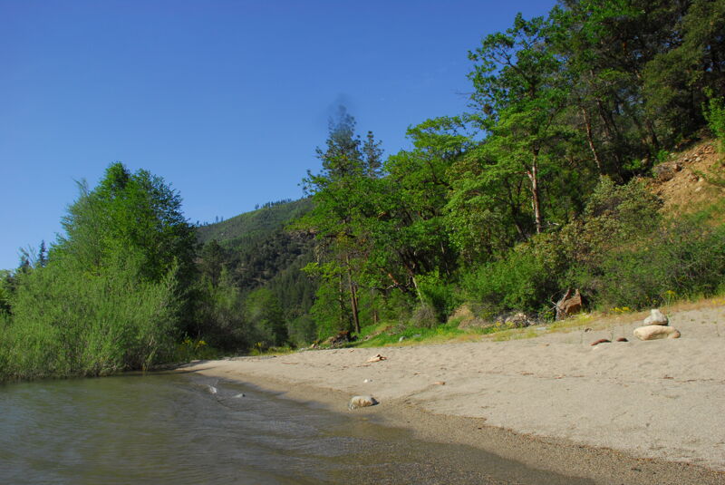
You'll easily recognize the take-out as the rocky beach at the confluence with Nordheimer Creek on river left.
Nordheimer Campground is the most common place for boaters to camp when visiting the Salmon River. There is a good map with river information for the entire watershed at the sign boards near the campground entrance. Use the adjacent public phone to call Waterline for current flow info (1-800-452-1737 and enter 063221 to get the Salmon River at Somes Bar gage reading).
Logistics
Put-in
The put-in is accessed by the unmarked d
...
The Forks of Salmon River Access is located at the 17-mile marker on Salmon River Road, directly across from the historic white schoolhouse in Forks of Salmon. As of April 2025, the dirt access road is marked with a sign. After descending to the flat beside the river, continue driving straight ahead, upstream—this leads to the best access point: a large sandy beach at water level where trailers can be backed to the water's edge. The final stretch may require high clearance. If you’re in a low-clearance vehicle, park and walk the short remaining distance. Do not block the road—this is a popular spot.
Straightforward rapid just below Forks of Salmon River Access. Named for Horn Creek which cascades into the rapid on river left.

Schoolhouse Rapid is on a sweeping left bend in the river channel. Depending on the current configuration of the river bar and island, it may be possible to take either the left or right channels but either way, maneuver to avoid getting pushed into the rocky bank on the right where currents converge.
Long constant gradient rapid that ends with a push toward a rock wall on the left and a boily runout.
Named for Fong Wah Gulch which enters on river left at the top of the rapid, although you may not notice it. The rapid pushes quickly to the right and negotiates a left dogleg bend before handing out a couple holes and waves at the bottom.
Best at flows of 1,100 to 1,200 cfs on the Somes Bar gage, this off-the-map mystery move spot delivers good downtime in the Salmon's famed clear water (wear goggles). A perfect slab of water angles off the rider's right side of a sloped boulder in the middle of the river. With a few spins, riders can get to depths of about 4-8 feet. At flows above ~1,500 cfs, the eddy behind the boulder has a lot of current and seeking downtime here is something of a workout. The feature pretty much disappears above ~1,600 cfs. The only way to access the spot is to paddle the Forks Run down from Forks of Salmon and then continue to take out at Quail Flat or Nordheimer River Access. If flows are good for downtime, there will also be a few bumpy spots on the run but it goes in a glass squirt boat, and there are other fun squirt features along the way.
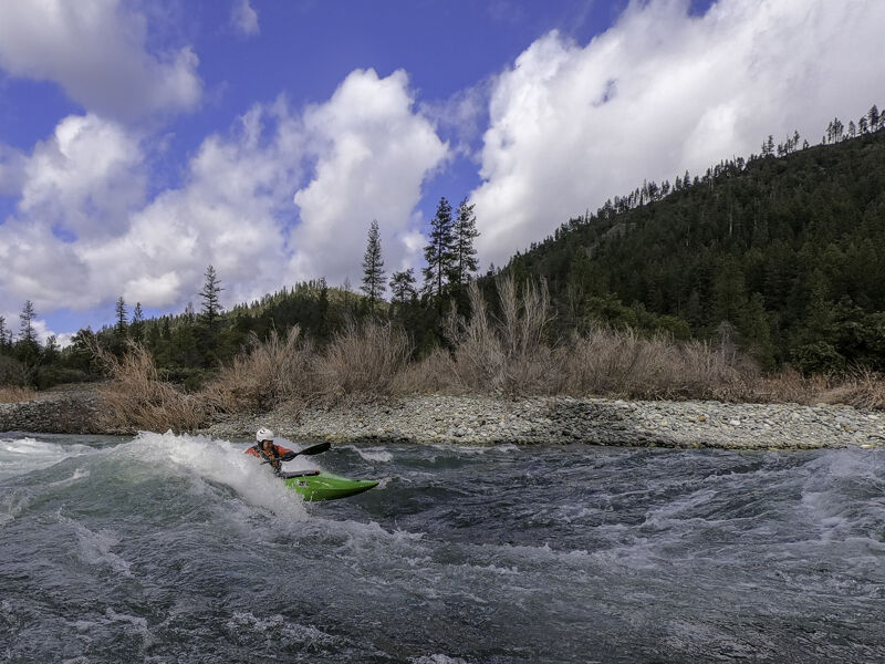
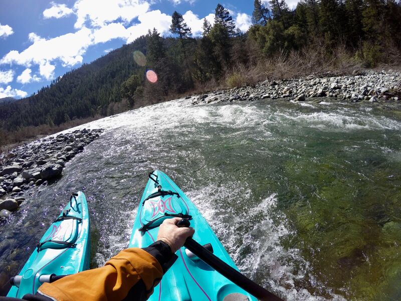
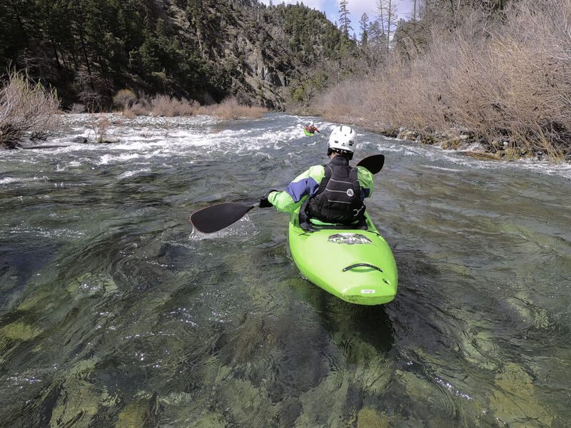
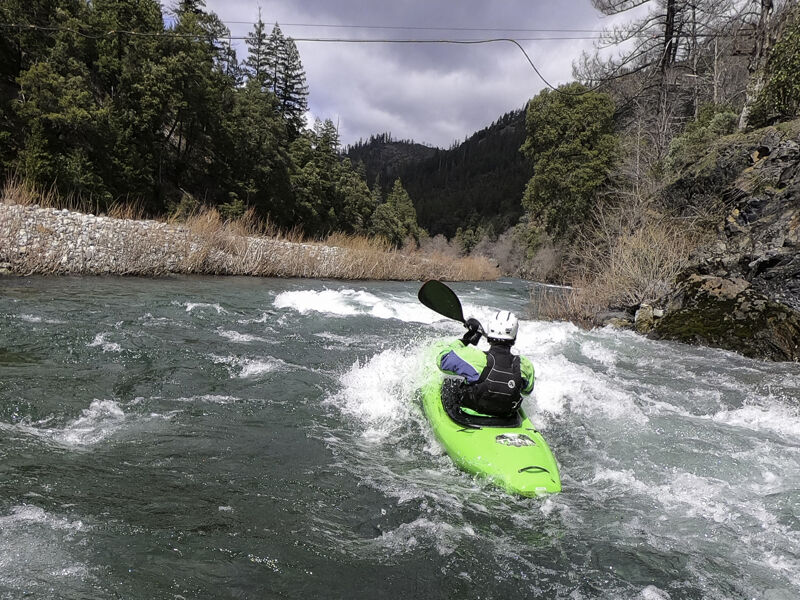
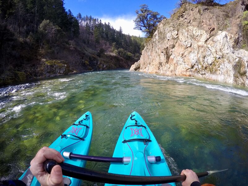
These are the best surf waves on this run and perhaps the best set of waves on the entire river at the right flows. The first couple of waves can be caught on the fly or accessed from the river left eddies at the very top end of the wave train. The lower waves have eddy access from the right and/or the left. The best flows for wave shape and easy eddy access are between 1,500 and 3,000 cfs. At higher flows, the waves become large and fast at the cost of more difficult eddy access for the top waves but still deliver awesome rides at flows in excess of 6,000 cfs.
The Otter Bar Lodge Kayak School is located on river right here and you'll see their blue-roofed house just upstream of the waves.
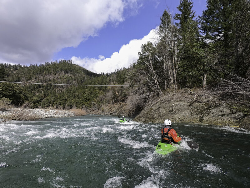
Immediately below a high cable line and water pipe over the river. Small rapid with current that aims at the river right wall and has a boily eddy line below.
Short rapid that directs current toward a wall on river right. Large eddy on the left with a current that feeds out into Quail Flat Rapid below.
This long rapid is formed on the upstream end of the cobble bar that extends along Quail Flat. There's often wood anchored into the riverbed near the top of the rapid, so be alert as you approach the entry. The river is accessible near the bottom of the rapid via an unmarked dirt road off Salmon River Road, followed by a short walk.
After the long pool at the lower end of Quail Flat, the river drops steeply over the next cobble bar to a fast chute along the far river left side. At some flows water spills over the bar and adds a cross-current to the chute. The obvious Ali Baba's Cave is on the bottom left and is not a factor for river runners, just a notable scenic feature.
Short rapid that is run down the middle. This is the only area on this run where serpentine rock is present.
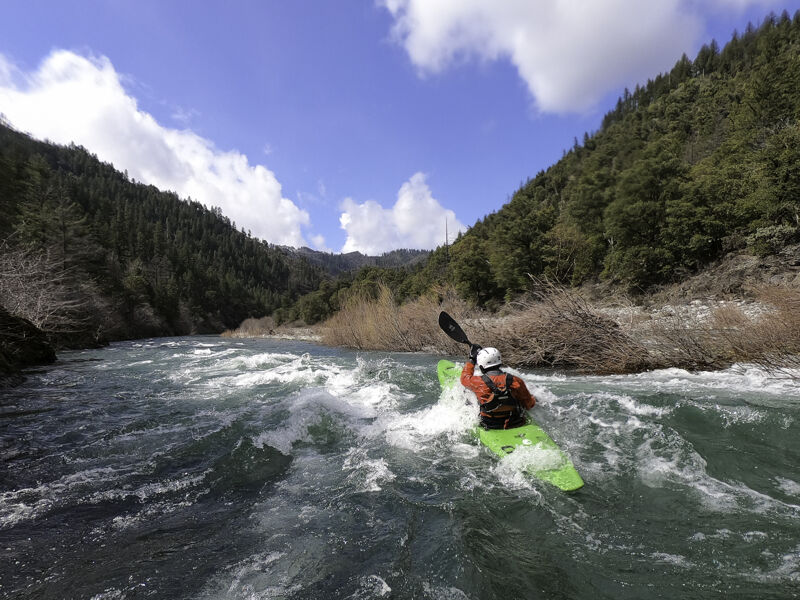
This rapid marks the entry to a short microgorge formed at the edge of a granitic pluton. The current pushes on to the river left rock wall before bouncing off to the right and entering the pool below. The river is calm as it flows through the short microgorge.
The river constricts and runs along the river right wall here with a long, boily eddy line and seam to the left. There's a neat eddy alcove on the left at the bottom that often has otters and, sometimes, lamprey ammocoetes.
This rapid is just upstream of the Salmon River Road bridge known as the Crapo Bridge.
Short rapid that is run down the middle. Just downstream of the Crapo Bridge on Salmon River Road.
The river drops over a boulder bar just downstream of the confluence of Crapo Creek, the large creek that enters on the river right. At medium to high flows, this rapid can be smoothly run down the center. At lower flows, the main channel gets rather chunky and the less obvious far left channel may provide the smoothest line, especially for smaller boats capable of navigating its tighter turns. This rapid is easily visible from the road as is the mouth of Crapo Creek and the ruins of bridges washed away in the 1955 and 1964 floods.
At flows lower than 2,000 cfs, this rapid can get a bit narrow and congested with willows on river left so be prepared to aim right to avoid them and duck forward if you need to as you thread the needle between them and the rocks on river right. The take-out at Nordheimer Campground is at the mouth of the creek on river left immediately after this rapid. Don't miss it.
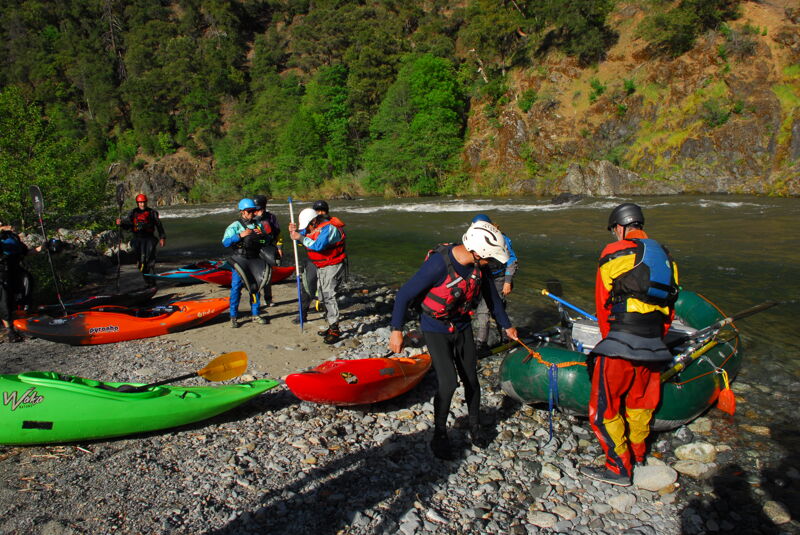
The Nordheimer River Access is at the back of Nordheimer Campground. There is no fee to use the river access. The road descending from the campground to the river access was repaired in 2024 and is currently accessible to all vehicles. A foot trail goes from the info board in the river access parking area to campsite 4 in the campground above, offering a short cut for boaters who want to walk from the river to the campground or vice-versa.
Mar 14, 2026
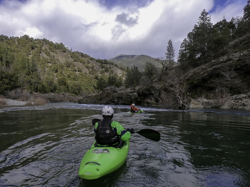
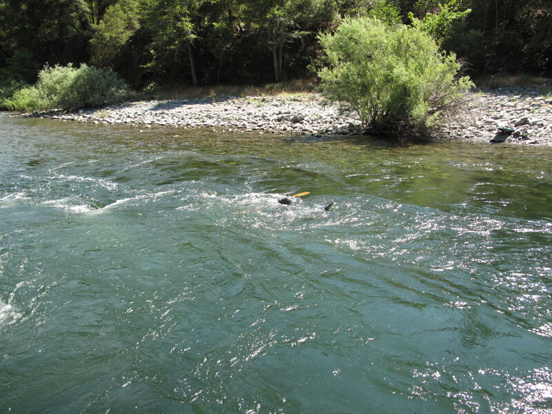
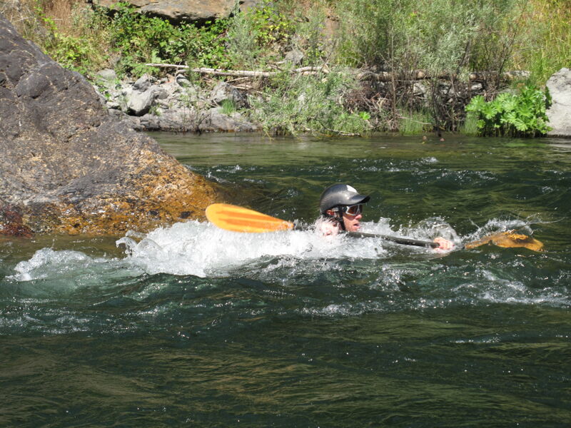
Beautiful late-winter day with a group of ~12 kayakers and one packrafter running the North Fork Salmon River’s Wild Mile, then continuing down the Forks Run on the mainstem to finish at Nordheimer. The run was familiar to the Paddle Tribal Waters youth, who have trained here over the past several years, and this was one of the first times some of them have been out boating outside of the PTW program. It was great to see them out on the river as part of the broader boating community. Joining them were local boaters and a contingent from the Humboldt boating community. A special joy to share this stretch of river I live along with everyone.
The flow of 1650 cfs (Somes Bar gage) was the low end of medium flows on the mainstem and the high end of low flow on the North Fork Wild Mile—still perfectly fun and boatable. Water quality on both rivers was exceptional, and crystal-clear skies with temps in the mid-70s made it feel more like mid-spring than late winter. With the exceptionally low snowpack this year, this is likely near the end of the season for the lower North Fork, and before long it will be on the mainstem as well.
May 17, 2023
The entire staff of American Whitewater had an opportunity to get out on the Salmon River in the early evening as part of our staff retreat at Otter Bar. The run began on the Wild Mile section of the North Fork and continued on down the mainstem to the Nordeimer Campground access. The run took us approximately 90 minutes with a short surf session at Otter Bar Waves.