North Harper Creek/Harper Creek
Trail 266A to Brown Mountain Beach Road [CR1328]
| Difficulty | IV-V(V+) |
| Length | 8 mi |
| Avg Gradient | 141 fpm |
| Reach Info Last Updated | January 17, 2018 |
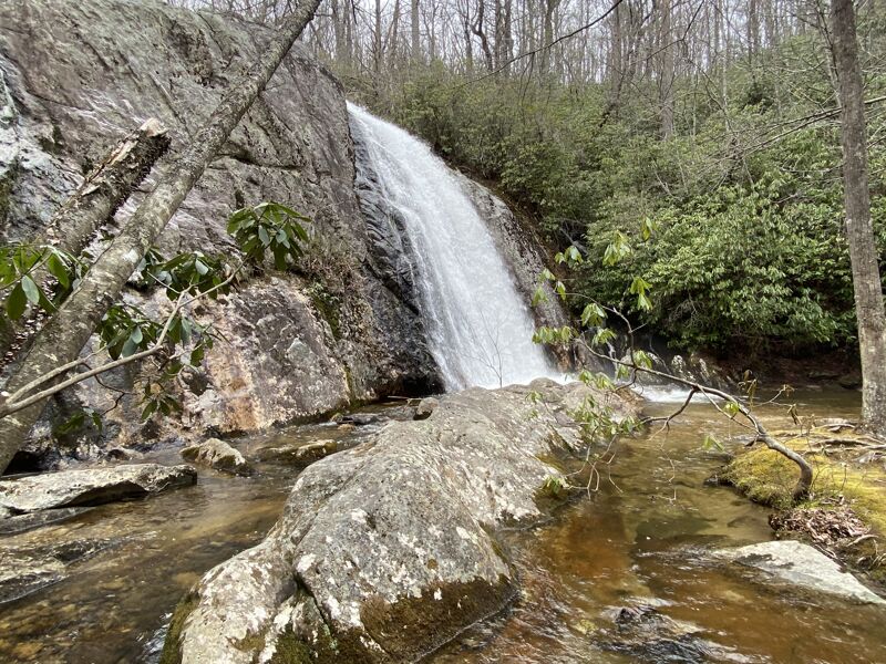
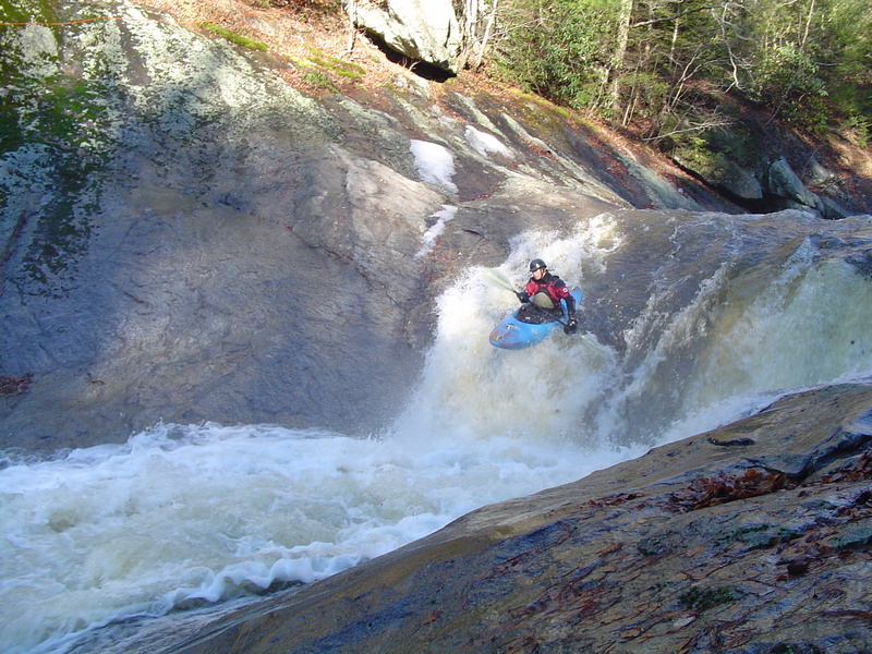
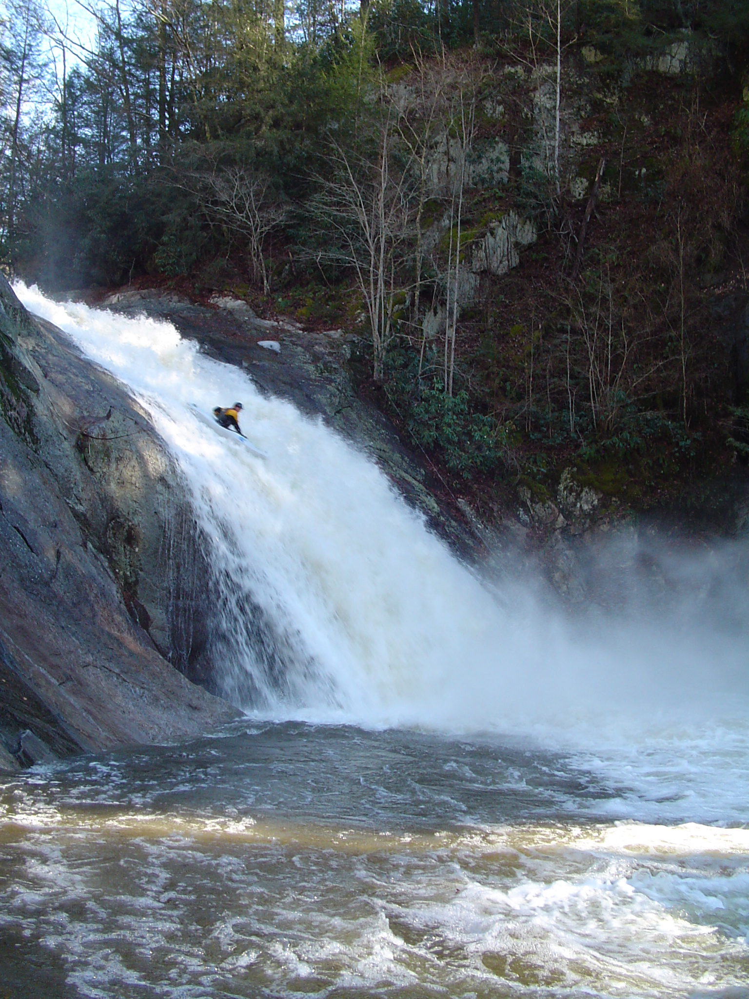
From Trailhead 266A and Pineola Road [FS464], hike ~ 1 mile on Trail 266A to North Harper Creek. Watching for strainers, cruise through some mellow class III for a while. Style on down and notice the creek get larger as Hull Branch creek enters from river right, this is the end of North Harper and the onset of Harper Creek. About 1.5 miles later, eddy out on river left and portage the 3-stage 100 footer known as Harper Falls. To portage take the trail downstream past the trail, around the ridge/corner over the falls, and well past the falls before dropping down to a parallel trail and hiking back upstream to the base of the falls. The falls can all be run down the right, and scouted from the left. The middle tier is around 50 feet tall so choose wisely.
Paddlers can put in below the 50 footer and run the next 20 foot roll-over drop (the third in the falls series), or put in below the 20 footer. Below the 20 footer is a manky rapid of boulders as is typical below big falls. You may want to walk some of all of this pinny mess. This marks the beginning of the highlight of the run: 6-10 high quality Class IV bedrock rapids and slides that share the world class geology of Wilson Creek. After this great sequence the creek mellows but maintains a technical Class III+ character to the bridge just upstream of Wilson Creek.
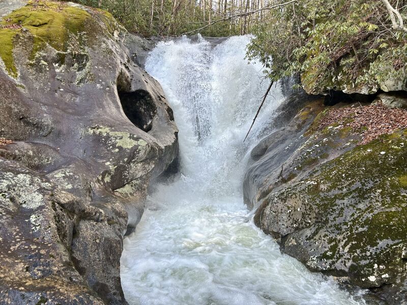
Only been ran one time by Ryan McAvoy. 30ft waterfall into a narrow slot.
10ft ledge at the top into a large 40-50ft drop below.
May 5, 2025
Mar 9, 2008
On 3.8.2008 the North Harper/Harper combo was almost wood-free. There was 1 little flatwater portage you just stepped over. Visual was -2.5' on the bridge slab vertical with zero being flush to the horizontal slab. It was good to go on the top and the bottom but some of the section between the two big waterfalls needed 2 ' more water.
Mar 8, 2008
First big drop on North Harper
If you run this have a sat phone to call for helicopter evac
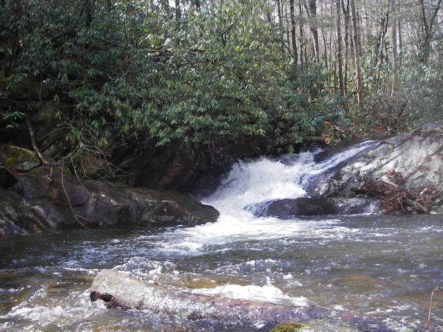
Right above a 15 foot sliding waterfall - stay left
speeding down a 15 footer
Feb 25, 2008
On 2.1.2008 Harper Creek falls on down was on the low side of fair after 1 inch of rain fell around Edgemont.
Feb 1, 2008
After 1 inch of rain @ AFWS-Edgemont, NC
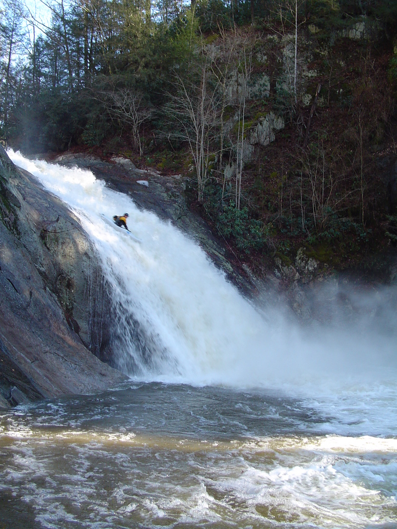
The middle and biggest drop of the 3-stage Harper Falls drop
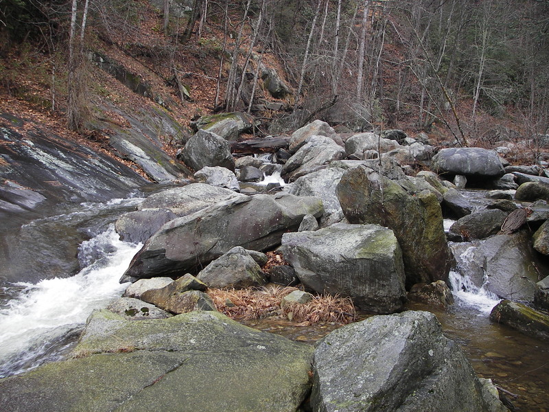
this boulder choke immediately below Harper falls has a huge log strainer (top left in photo)
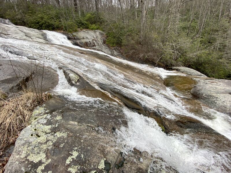
3 consectutive low angle slides immediately after the boulder choke below Harper Falls
Stuff below the 3 conscutive slides with some sieves and strainers - get out and scout
A section that is 1 or 2 drops above where the trail 260 (MTS Trail) crosses Harper Creek.
Mar 2, 2006
Myself along with Cooper Lambla, Adam Kinney and the man Chris Clark paddled this particular creek in the winter of 2004. There was one mandatory portage past a shelfed out super necked down fifty footer, and then another non-mandatory portage past a really gnarly Ravens Fork style rapid. There was a decent amount of wood and some rapids required log dodging to sucessfully navigate. This run catches a little flack for being too long with out enough fun factor, but if you are into running a really big super fun/clean waterfall then you need to be here. There is always the option to just hike and huck but this is a beautiful run that is really remote with some cool tight technical creeking on the upper part. Look for Wilsons to be huge and Gragg Prong to be too high.
Jan 1, 1900
Boof right, Stroke left, Look Up, Fall down!!!