Smith, South Fork
Buck Creek to Stevens Bridge(South Kelsey Run)

| Difficulty | IV(V) |
| Length | 7.8 mi |
| Avg Gradient | 63 fpm |
| Gauge | Smith R Nr Crescent City Ca |
| Flow Rate as of 58 minutes | 298 cfsbelow recommended |
| Reach Info Last Updated | February 20, 2025 |
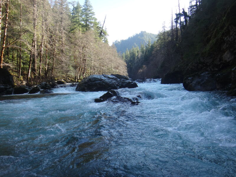
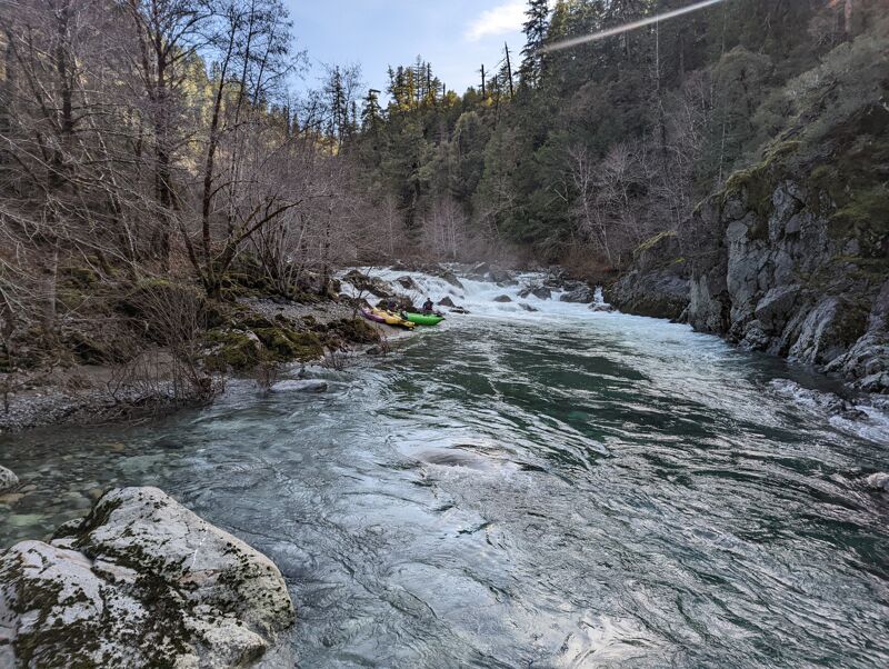
This is a quality Class IV-V hike-in run on a remote and lush upper section of the South Fork Smith River in the Siskiyou Mountains. The major rapids are above Black Hawk, including a Class V that most boaters fully or partially portage.
To reach the trailhead for this run, continue upriver from Stevens Bridge to the turn for FR 15N01 (13.5 miles from Highway 199). Follow road 15N01 for 3.5 miles and then turn left on FR 15N39 which winds its way two miles down towards the river and the South-Kelsey Trailhead (picnic tables, vault toilet, and parking for 10 cars). It's about two mile hike down the trail to the river. The Kelsey Trail was almost certainly an native trail to begin with and became a key Gold Rush commerce route linking the port of Crescent City to the mining town of Yreka. It passes through the Scott River as well.
Additional Info
The best guidebook for this run is The New School Guide to Northern California Whitewater by Dan Menten, p. 26.
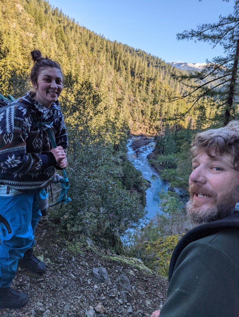
Buck Creek is about a two mile hike in on the South Kelsey Trail.
A gravel bar with large sized rock pushes right into a giant undercut boulder. It is difficult to find a clean line down the center to avoid the boulder.
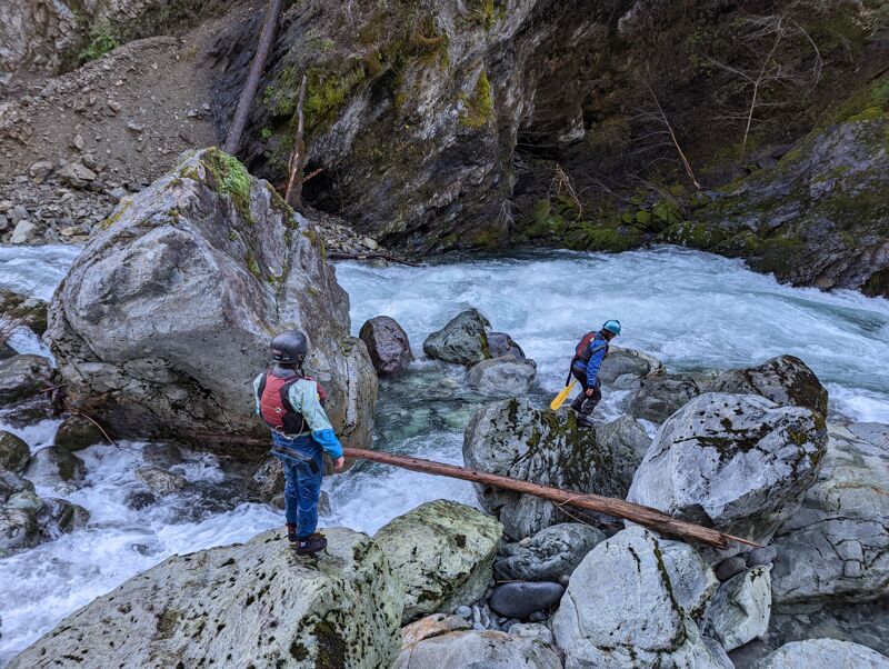
After the house in view on river left, there is one riffle before you arrive at the Island. Logs permitting, you can scrape / portage down the right side or combine portaging with running portions of the left side. Where the two channels of the island come together, there is some brushy many and just enough time to line up for Great Boof, which is the first large horizon line below where the chanells combine.
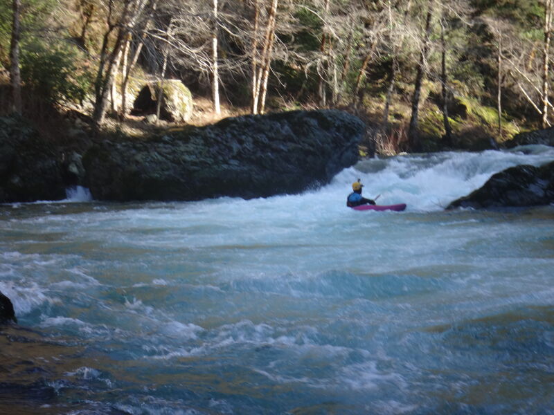
The first large horizon line immediately below where the island converges had only one feasable line, to the left of a large mid ledge boulder. It lands in turmoil and pretty close to another large bouder in the outwash. Instead of Great Boof, the better name might be Marginal Boof. Maybe it cleans up with more water.
The wall is immediately stacked after Great Boof and is a hard right turn guarded by a shallow boulder bar just above. Stay center left or left left, although it puts you in the wall. The right side dead ends in boulders, no passage at medium flows and lots of pin potential. The wall is not undercut.
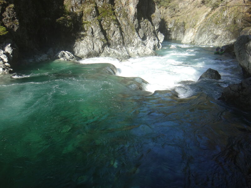
The New School Guide doesn't mention this one, but there is a beautiful broken ledge just after The Wall that has a lovely boof center left and often has sun shining through the water.
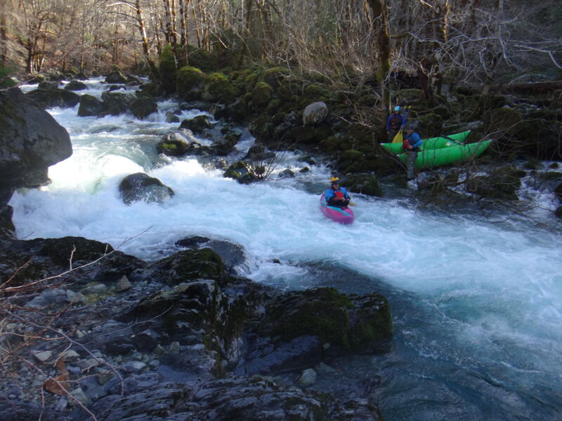
One of the two remaining full blown Class IV rapids, this one has a tendancy to landslide along the left bank along the entrance. Scout right. Cheat left or punch all the holes down the middle. Avoid getting pushed right at the bottom, there are seives against the large boulder.
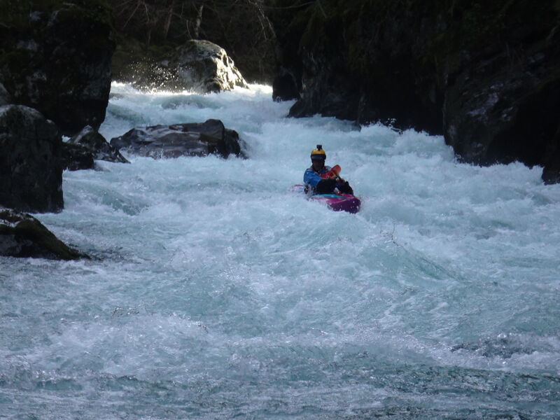
Start left, go left, stay left, it's the last rapid left ...characterized by several meaty holes in the center and a big boulder bottom right. Ride the wall at the top between the left wall and the mid stream rock. Scout right but leave yourself enough room to ferry left to run it. Class IV at most flows
Stevens Bridge is the take-out on the South Fork Road. It is also a common put-in for the run downstream.