Wasipinicon
Central City Dam Bypass Channel (PnP)
| Difficulty | II(III) |
| Length | 0.14 mi |
| Avg Gradient | n/a |
| Reach Info Last Updated | June 24, 2024 |
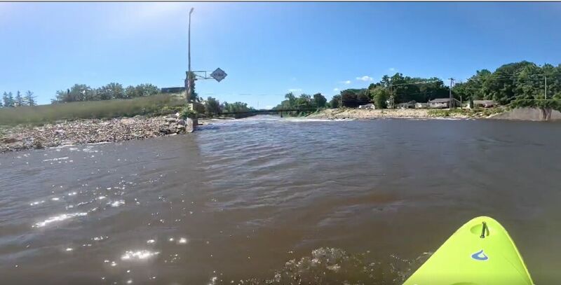
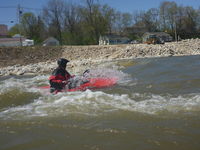
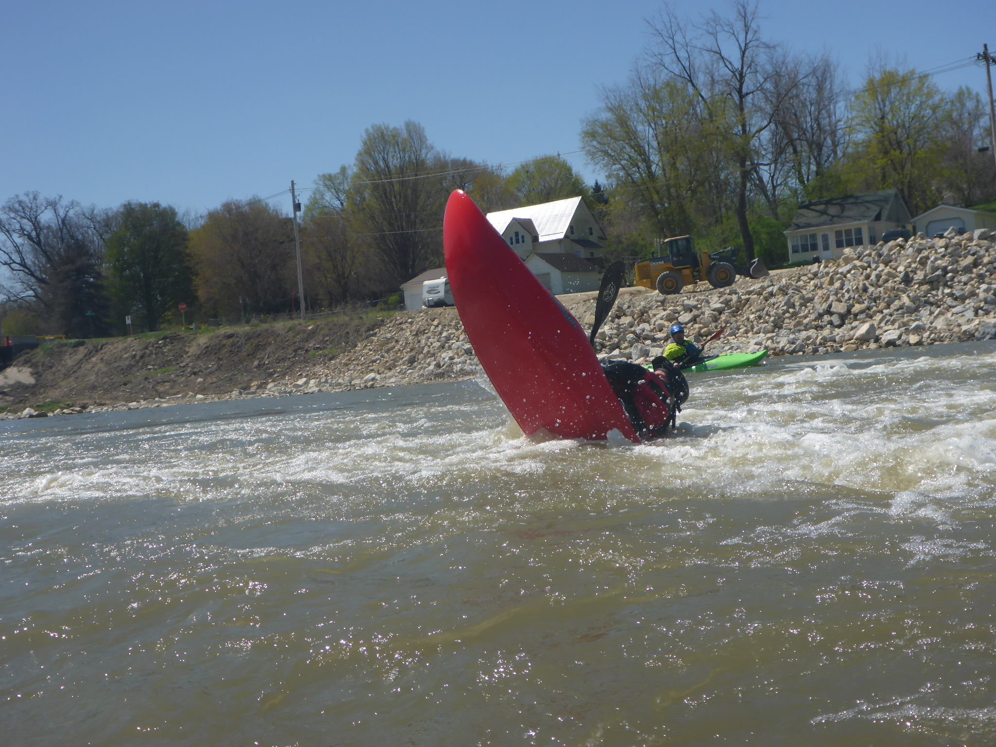
An Iowa DNR low head dam mitigation project in Central City created a river right fish passage and a river left boating passage containing five whitewater features. Riverside Park allows for vehicle parking and there are water access ramps located at each feature. These features provide opportunities for surfing, spinning, cartwheels, with limited looping potential on Feature 3.
A river height gauge has been installed at Feature 1, but the optimum paddling levels have not been established. Paddlers are encouraged to report river play levels.
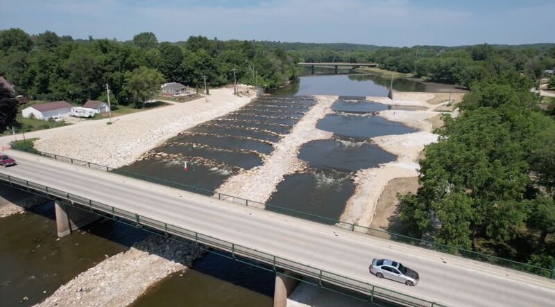
This photo is an aerial shot from downstream, showing the river-right (photo left) fish passage, and the river-left (photo right) boating-bypass/play-park.
(NOTE: the fifth feature of the play park is blocked from view by the bridge.)
In this photo you can see that there are something near twice the number of 'steps' (rock-arch rapids) in the fish-ladder as in the play channel. While it may be possible to paddle down the river-right (fish-ladder) side of things, that side was not constructed to 'optimize' whitewater play as was the river-left side.
Flow on the gauge represents approximated full flow of the river. Since the river is flow is split between the fish ladder and the whitewater channel, flow in the whitewater channel is not readily determined.
Jun 24, 2024
Jason Tharp's video of running the Central City venue at 4000+ cfs per the Independence gauge. Use this link to see the video:
https://www.facebook.com/1578671361/videos/1030723461865071/