Moose, Middle Branch
Singing Waters Campground to McKeever(Upper Middle)
| Difficulty | II-IV |
| Length | 5.6 mi |
| Avg Gradient | n/a |
| Gauge | Moose River at Mckeever Ny |
| Flow Rate as of 51 minutes | 2.00 ftbelow recommended |
| Reach Info Last Updated | October 24, 2024 |
The put-in for this, the first of four regularly run whitewater sections on the Moose River can be found on Route 28 just south of HTR (formerly Singing Waters) Campground where the river is visible from the road.
There is another put-in just to the north of Singing Waters on Scusa Road, please be respectful as the fishing access is on private property.
This section of river is primarily a class II and fast moving water run. At low levels it is a scrape and rub rock garden. There is one named rapid, Nelson's Falls that is considered a class IV. Nelson's is a fun 3 drop rapid with some undercuts and is often the site of big strainers!
An alternate take-out, is on river right, just before the Route 28 bridge at a fishing access.
See Also:
'I would not suggest this section is suitable for beginners but at even 3.0 ft to 3.5 it is a fun stretch to play and practice river reading skills.'
- kathy corey 2001-11-26
Tug Hill - Old Forge Area Reaches
Beaver (1. Moshier) Beaver (2. Eagle) Beaver (3. Taylorville)
...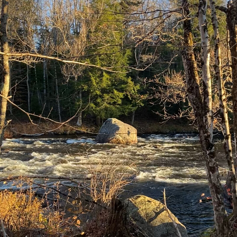
Put in above the campground on Scusa Road. It's a fishing access on private property, please be respectful.
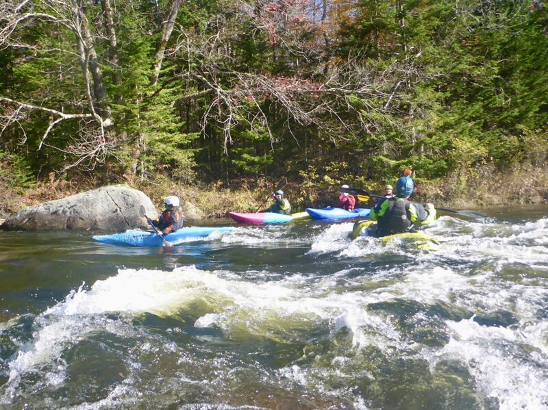
There are a couple of fun surf waves in the HTR campground.
Find the putin where the river is visible from Route 28 south of Singing Waters campground, or the alternate putin on Scusa road half mile to the north.
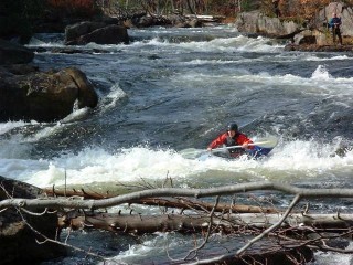
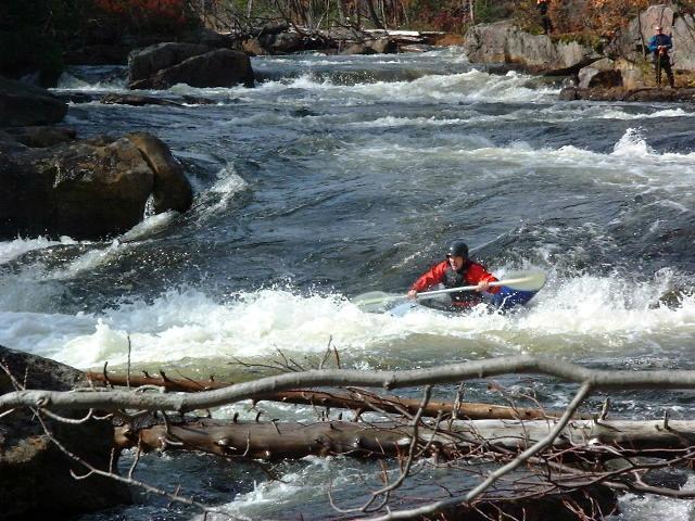
You approach Nelson Falls after passing under a railroad trestle. The rapid is on a blind corner so this would be a good time to get out and scout. There are 3 drops of about 3 feet each over 100 yards of river. Nelson's tends to be a strainer collector so keep an eye out!
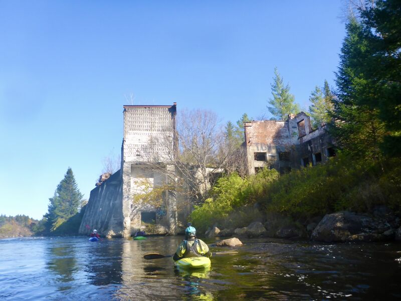
The rapid itself is not worthy of naming, but the ruins of an old mill, visible from the bridge over Route 28 at McKeever is worth noting. Stay right on the river if possible, the ruins are badly undercut and there may be remnants of rebar and other hazards.
Find the take-out after paddling beneath the bridge at McKeever on river left. The Gauging Station is also located here, on Moose River Road. This is also the old put-in location for the Middle Moose run.
Nov 25, 2020
This is my backyard run, I do this a lot. We need to update the Range, to a minimum of 3.5 feet up. Personally, I only go to Nelson’s at 3.5’ and will do laps, the rest is brutally scratchy to McKeever. Either paddle back from the railroad bridge to your car below SW, or paddle to where you can hike out using the Nelson Lake trail parking area.
Please be careful at Nelson’s. Wood is constantly finding places to block and obstruct. This rapid sees more wood than any other on the Moose, my opinion.
4.5 is my minimum. Much much better from here up. Creek and RiverRunners work well with this section, considering the nature of the river. With the full slice or half slice boats, there can be lots of play. My feeling is that the Middle is under surfed because of all the creekers. Most of it comes in the form of front surfing waves catching on the fly. The best wave is in the rapid Down the Left after the long Nelson’s flat water paddle. Halfway down, wide wave in mid wave train, best luck of catching from micro eddy on the right to kill momentum, then slide on(Higher levels It can be done from micro eddy on left). At high levels, look out for a hole that appears at the bottom of the wave train (over 10’).
This rapid bleeds into the continuous Boulder Section which has some splattable boulders, some squirt lines and catch on the fly front surfing waves. When the river breaks left again, you can take out here, climbing the hill to the sand pit snowmobile trail area, or continue out. This is the second Down the Left rapid, which is pretty interesting as read and run. Can be play here at times and just below, before the confluence with the S Branch.
The railroad trestle offers a big glassy wave I saw once at 12 plus feet. Takeout normally at McKeever Bridge on right, but if you continue on, head down the left, catch on the fly waves are under the bridge occasionally that you can grab some nice front surfs on.
If you’re in from out of town, at this level Or higher it is best to add on the rest of the Middle to fill out the day. We have been parking at Tannery and throw the first two rapids of the Lower in if you’re up for it.
Jul 2, 2006
You can put in at the railroad bridge at the end of the dead end road which is off of Scusa Rd. Or you can skip the pictured section (about 1/4 mile of class 2) and put in right along Scusa Rd.
At the end of the Nelsons Lake you will come up to a horizon line. Go over, and eddy out on river left. Then run the rapid which is about 200 yards long. You can eddy out on the left or right at the bottom.
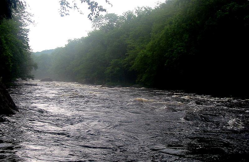
Pretty much like this from Nelsons Lake 'outlet' down to the confluence with the South Branch. At this level it is a fun bouncy ride.
At the end of the Nelsons Lake you will come up to a horizon line. Go over, and eddy out on river left. Then run the rapid which is about 200 yards long. You can eddy out on the left or right at the bottom.
Oct 15, 2001
Check out the full-sized version of this photo by clicking here.