Alsea, S. Fork
Hubert McBee Memorial Park to Rock Quarry Weir

| Difficulty | II-III |
| Length | 6.9 mi |
| Avg Gradient | n/a |
| Reach Info Last Updated | July 14, 2020 |
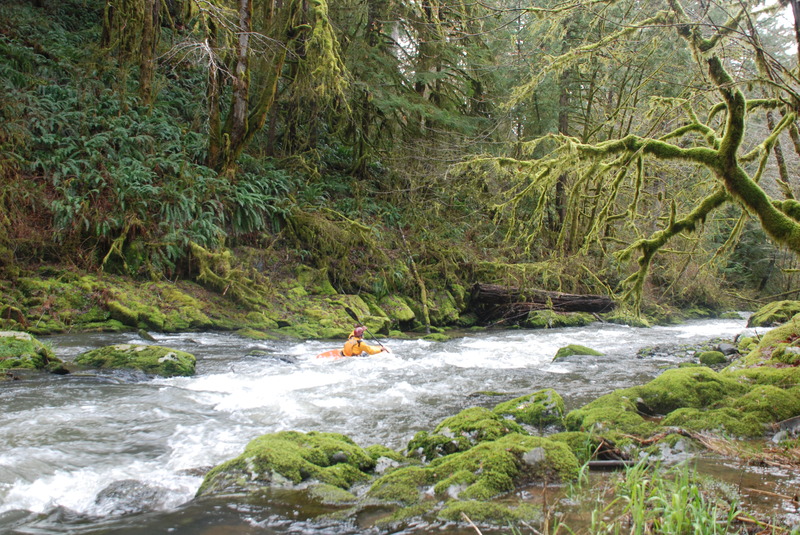
This is a small stream that comes up after a good rain. The first 2 miles start out mellow but after crossing under the third bridge the pace picks up with about a half mile of fairly continuous whitewater. The character is technical class III and the stream is known for collecting significant wood that can increase the hazard factor. After passing through this section the action tapers off but there are still some fund rapids down to the rock quarry.
Logistics: From Highway 34 in Alsea (40 miles from Waldport and 25 miles from Corvallis) turn south onto Highway 501. Follow this 0.9 mile and turn left on South Fork Road (following signs to Alsea Falls). In 1.9 miles you will come to the rock quarry. This is the take-out (just downstream of the quarry) and there is a pullout and a couple trails down to the river. To reach the put-in head another 5.8 miles up the river to Hubert McBee Memorial Park. Pull in to the picnic area and put-in at the downstream end of the picnic shelter.