Clackamas
5. River Mill Dam to Willamette River
| Difficulty | II |
| Length | 23 mi |
| Avg Gradient | n/a |
| Gauge | Clackamas River at Estacada, or |
| Flow Rate as of 55 minutes | 824 cfslow runnable |
| Reach Info Last Updated | June 18, 2025 |
The Clackamas River is one of the Pacific Northwest’s most beloved whitewater rivers—renowned for its clear water, lush forests, and a mix of Class III runs ideal for intermediate paddlers along with tributaries that offer challenging Class V whitewater. The river is also part of the National Wild and [...]Read More
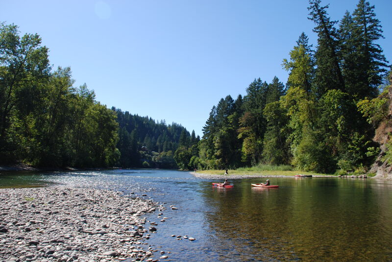
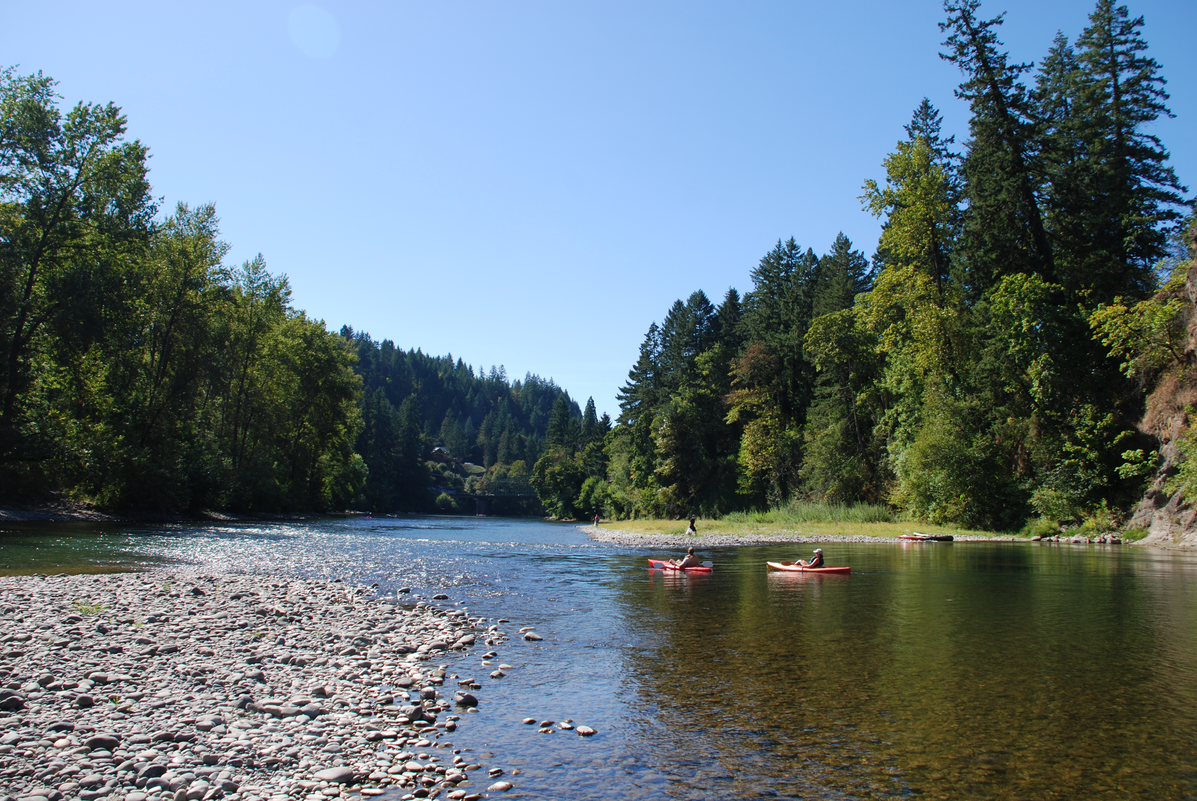
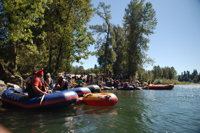
The lower Clackamas River, from River Mill Dam in Estacada to its confluence with the Willamette River, offers a 23-mile stretch of calm, scenic water that’s well-suited for recreational boating. This section, part of the Clackamas Water Trail, is ideal for paddlers in canoes, kayaks, rafts, and inflatables. With mostly flatwater and a few forgiving rapids, it’s a favorite for both beginners and experienced paddlers looking for a relaxing river experience particularly during the summer. The sections from McIver Park to Carver Park can get very crowded on hot, summer days with folks in tubes and other craft floating the river. On the busiest days, Barton Park and Carver Park can be over-crowded or closed due to reaching capacity and the vibe can be less than family friendly. Most boaters select a section depending on the experience they are seeking with most of the rapids occuring upstream of Barton Park.
McIver Park to Barton
Boaters looking for more rapids and a more scenic trip choose to begin at the upper boat ramp in McIver Park. There is a fun Class 2 rapid that can be seen from the boat ramp. At high water several large waves form in this rapid but at regular flows it presents a fun challenge with multiple line options. After a long flat stretch and a right turn, boaters encounter Bombshelter rapid. This boulder garden gets very technical at lower water, particularly for rafts. The left side of the rapid is generally cleaner at low water. A few other small rapids and scenic stretches of river bring boaters to the lower boat ramp on the left.
Just downstream of the lower boat ramp is one of the larger rapids on this section with the river plunging through a couple large waves before splitting around a mid-stream rock. It is shallow in spots if boaters are upside down or out of their boat. Below the rapid the river continues to offer scenic views, light current, and a few Class I–II riffles depending on flow. The river here
...The River Mill Dam is located at USGS river mile 22.3 and is the most downstream of the series of dams that make up the Clackamas Hydroelectric Project. It has five Francis turbines with a combined maximum generation capacity of 25 MW. It was originally constructed in 1911.
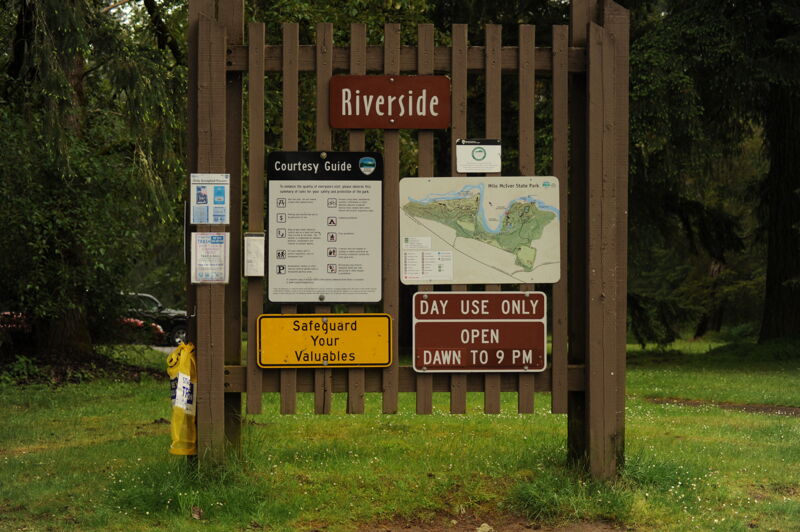
Access on river left in Milo McIver Park at the upstream end of the park at Riverside Day Use Area. It is located approximately 1/2 mile downstream of River Mill Dam. The park has toilets and a picnic area as well as a campground. The river access has a concrete ramp suitable for trailered and hand-carry craft. The site is administered by Oregon State Parks and requires a day-use fee for use.
Fun rapid immediately below the boat ramp. Deepest channels and best waves are on the right side but there is a sneak on the left. Waves get big and powerful at high flows.
Shallow with narrow passages between rocks at low water. Multiple routes.
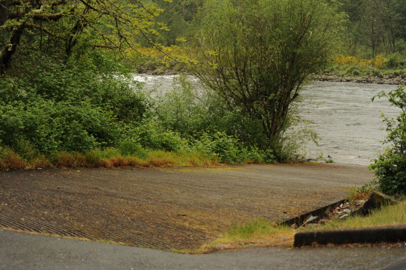
Access on river left in Milo McIver Park at the downstream end of the park at Riverbend Day Use area. This access can be used as a take-out for the approximately 2 mile float through the park or a put-in to head downstream from the park. The park has toilets and a picnic area as well as a campground. The river access has a ramp suitable for trailered and hand-carry craft. The site is administered by Oregon State Parks and requires a day-use fee for use.
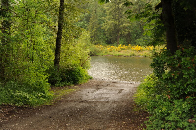
Unlike many of the other river access points, this access is not in a larger park and just a river access located on river left. This free access is managed by Clackamas County with parking for 15-20 cars and a cobble ramp.
This access is in Baker Park on river right just upstream of the SE Bakers Ferry Road Bridge. The park is managed by Clackamas County and has a day-use fee.
Access is on river left at the confluence of Clear Creek with the Clackmas River and just upstream of the Carver Bridge. The park has a large paved parking area and a dedicated boat launch area with a ramp that can accommodate trailered watercraft. The park is managed by Clackamas County and has a day-use fee.
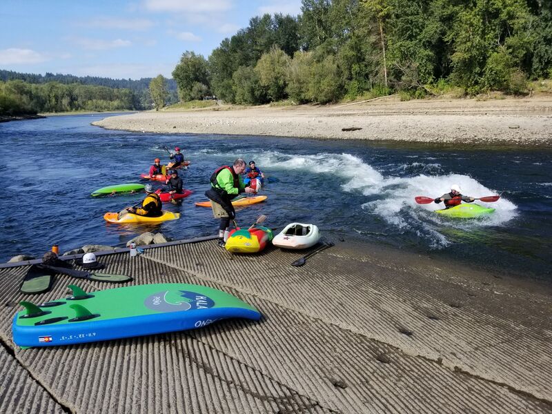
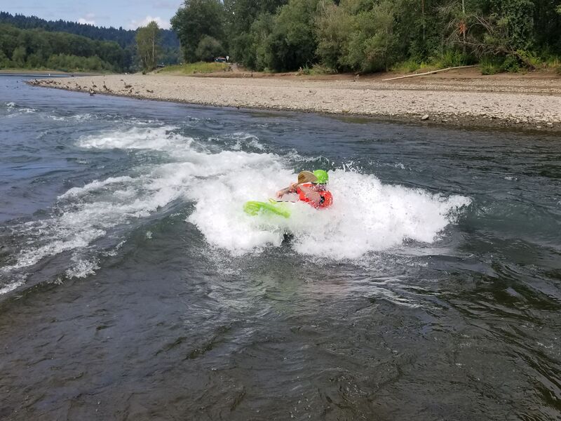
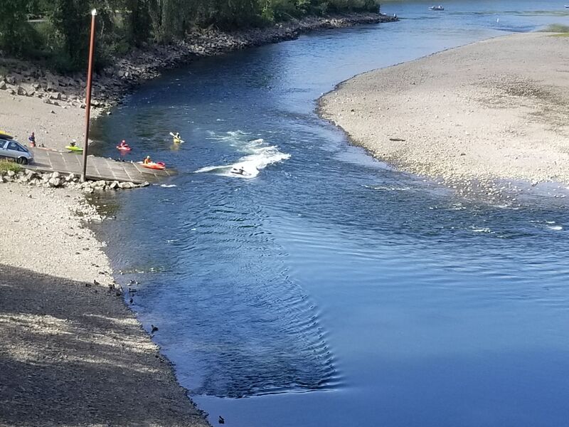
A park-and-play feature in Clackamette Park. It forms during periods of low flow when the Clackamas River is below 1200 cfs and the stage height of the Willamette River is under 3 ft. The wave forms two to three hours prior to low tide (less than 3 ft) and remains surfable for up to an hour later. During a normal season, this happens from late July through October/November.
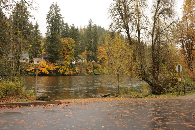
Take out on river left in Clackamette Park before the confluence with the Willamette River. This park is managed by Oregon City with no entry fee for use.
Access on river right at the confluence with the Willamette River. Suitable for hand-carry craft. The site is managed by the City of Gladstone and has a modest entrance fee for non-residents.
Oct 2, 2024
We had a great day paddling at very low flows on this section - but it was enough to float our boats everywhere except one spot. For my friend it was her second (class 2) river and a good confidence booster; for me a beautiful workout and great day out. There was no troublesome wood that we saw. Biking the shuttle was also very doable - an 11-mile ride with moderate hills for a just-under-10-mile run. It was great to have a run with easy logistics to paddle on a sunny, fall day.