Nestucca
1. Rocky Bend Camp to Blaine
| Difficulty | II-III+(IV) |
| Length | 8.5 mi |
| Avg Gradient | 50 fpm |
| Gauge | Nestucca River Near Beaver, or |
| Flow Rate as of 1 hour | 128 cfs |
| Reach Info Last Updated | June 13, 2012 |
The Nestucca is a wonderful coastal river and a State Scenic Waterway that unfortunately has some challenging access issues. For the most part this a road-side run through Siuslaw National Forest with some farms and a few homes along the river. When the fish are running expect to see the fishermen out although they tend to concentrate most of their activity on the sections downstream of the take-out.
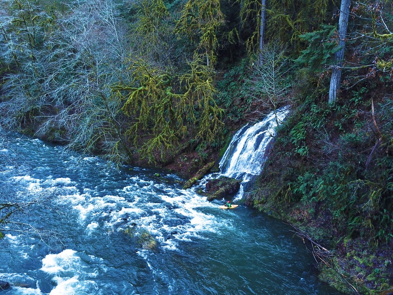
If you use the upper put-in the run starts out with the biggest drops in the first mile that includes a class IV rapid followed by class V Silver Falls. Silver Falls is on private land and private landowners have made clear that they do not believe it is possible to scout or portage below the high water mark. If you are found tresspassing, the landowners have communicated that they will prosecute to the full extent of the law including provisions contained in ORS105.700 which provides for civil penalties in addition to original charges. For these reasons, this section is not recommended for those who are uncomfortable boat scouting. Once past Silver Falls, the river flows through the class IV Bible Belt, which is a technical boulder garden.
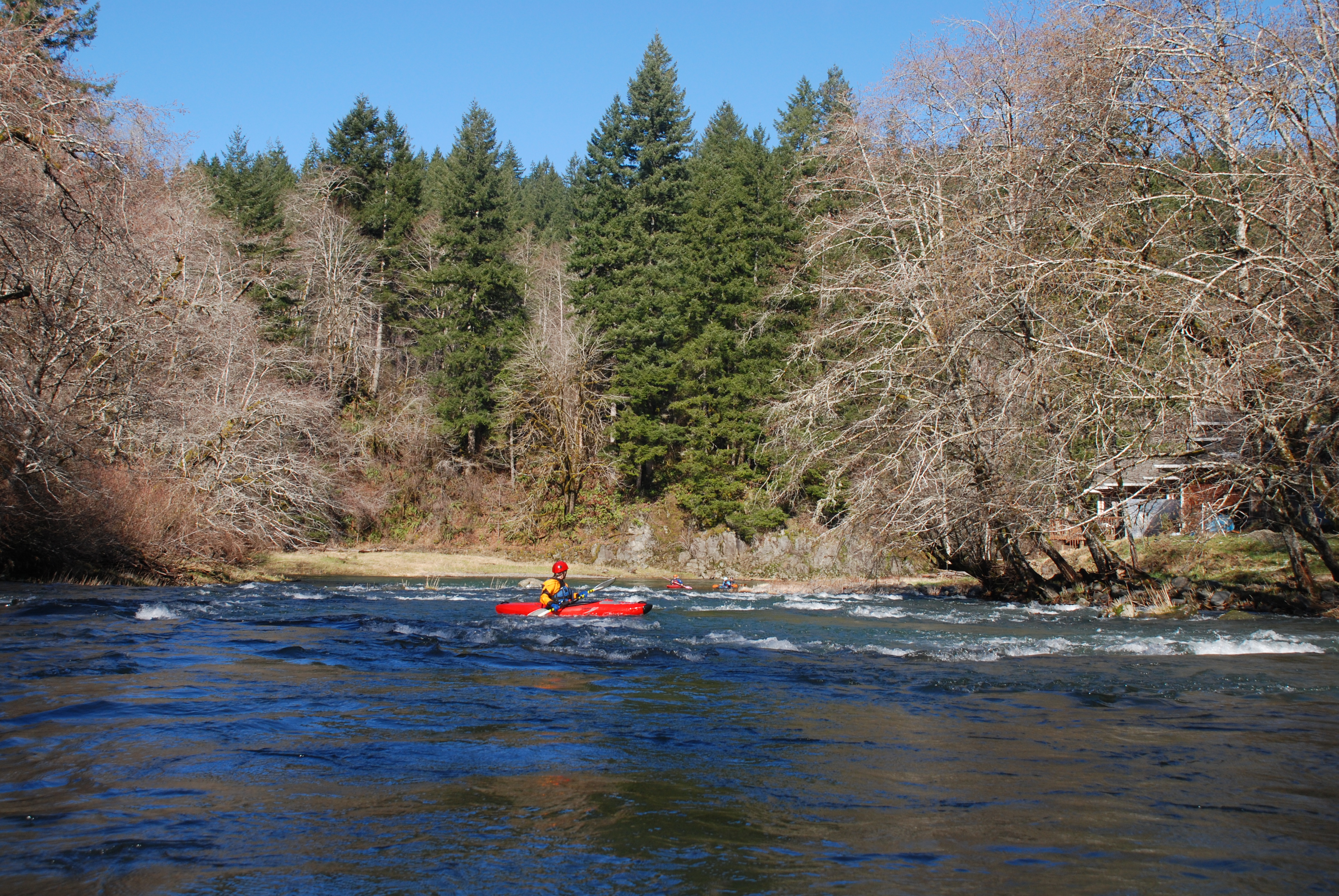
If you could find an alternate put-in, you could cut off the top mile of the most challenging rapids. The rest of the river provides consistent action with good recovery sections in between. A few of the drops deserve a class III rating but most of the rapids are class II.
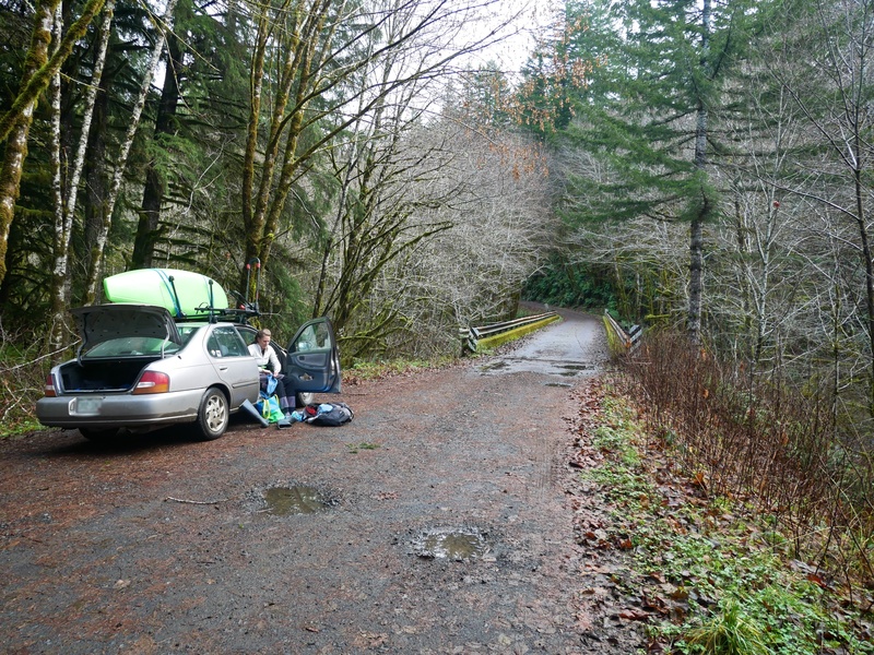
Logistics: From the town of Beaver on Highway 101 head east up Blaine Road (County Highway 858). At mile 6.3 there is a wide shoulder where the river comes up against the road that provides access across the street from the 'Blaine Church'. This is the take-out.
Guidebooks describe an alternate put-in at the bridge at mile 13.1 but this is private land. In examining the county parcel data it does appear that the river is within the highway right-of-way just downstream of the bridge, but paddlers are advised to stay clear of this area as p
...
The log bridge described in Soggy Sneakers is as an alternate access below the class IV/V drop is private land and not available for river access.
Dec 22, 2018
Access to the Nestucca R. at Rocky Bend, 2100cfs @Beaver