Umpqua, North
2. Soda Springs to Cable Crossing
| Difficulty | III |
| Length | 33 mi |
| Avg Gradient | 36 fpm |
| Gauge | N Umpqua River Abv Copeland Ck Nr Toketee Falls,or |
| Flow Rate as of 13 minutes | 683 cfsrunnable |
| Reach Info Last Updated | July 26, 2026 |
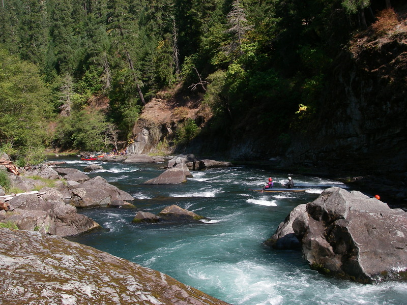
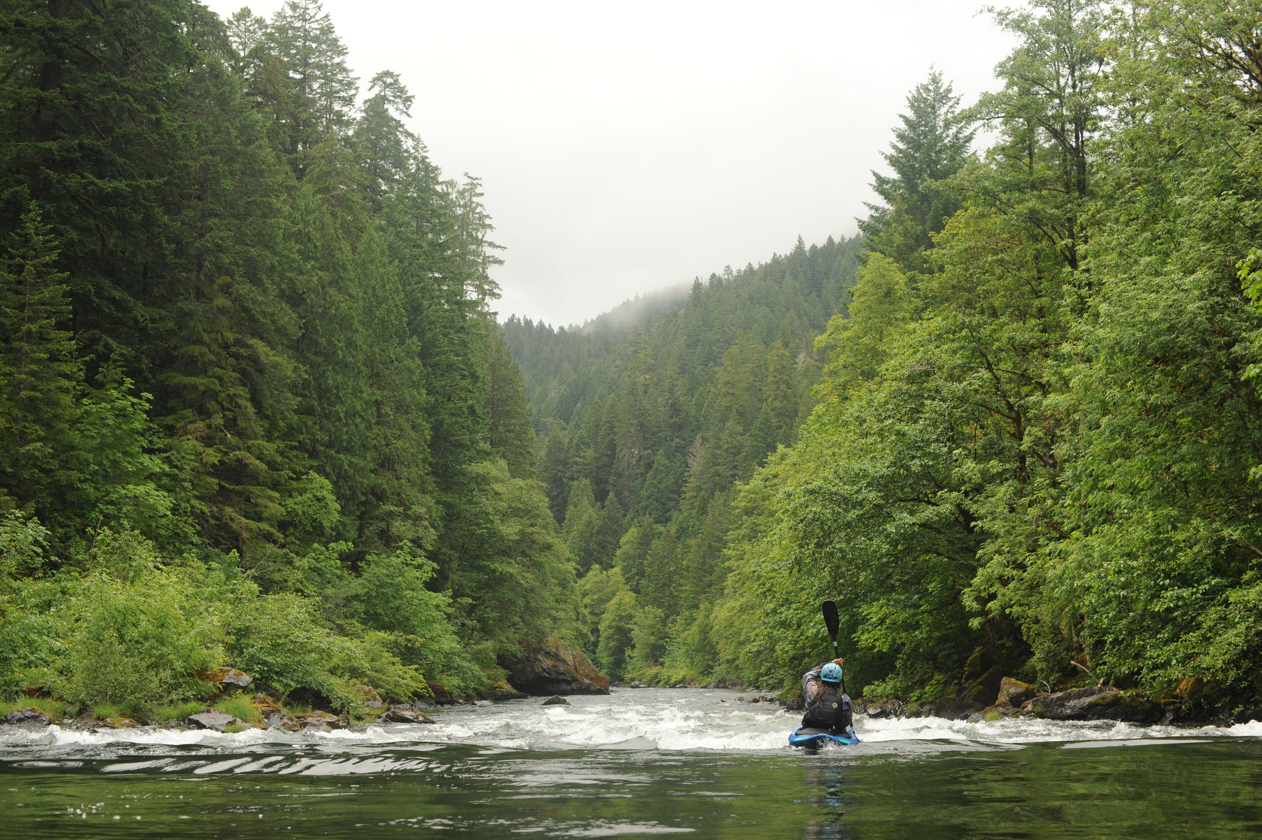
This is an ideal class III river with several different sections to choose from providing opportunities for 6-8 mile day trips or longer during the times when the water is high. The rapids are closer together near the top and slowly get farther apart. A standard intermediate run and the classic whitewater section is from Horseshoe Bend to Gravel Bin, but anything above Susan Creek is good fun. The beauty is great, the isolation is good, and the season is long. This river is best after the first heavy rain in the fall and in most years the season lasts all the way through Memorial Day weekend. Flows start to drop after that and interest in fishing increases.
This run splits conveniently into five sections as identified by BLM and well labeled on river maps. Paddlers often combine sections or do portions of sections depending on flows and level of whitewater challenge desired. For example, in the spring when flows are higher oar rigs like to run the 14 miles from Boulder Flat to Gravel Bin (segments 1 and 2) given that both sites have a good ramp suitable for trailers. Later in the summer when flows are lower however rafts might carry in at Marsters or Horseshoe Bend for a shorter run that is more suitable for lower flows. The river makes a great destination for trips where a big group can subdivide into smaller groups that paddle different segments before all coming back together in the evening. Before embarking on any section of the North Umpqua, check the BLM guidelines to avoid conflict with fishermen.
Segment 0: Soda Springs to Boulder Flat (1.25 miles)
The put-in is a little rugged for rafts but is an add on enjoyed by kayakers. This section is more continuous and a lot of fun.
The free-flowing Wild and Scenic North Umpqua River Corridor begins just below the Soda Springs Power House.
Segment 1: Boulder Flat to Horseshoe Bend (6.5 miles; float time 2-3 hours)
This is a beautiful 6-
...At North Umpqua Highway (Hwy 138) mile 55.1, turn onto Medicine Creek (Forest Road 4775), then turn left onto Soda Springs Road. Continue downstream 1.3 miles past the dam to the powerhouse. Just upstream of the powerhouse on river right, a short but poorly defined social trail leads to the pool above the tailrace. This site is not designed as a formal river access but is occasionally used by boaters. The site has the amenities of a picnic area.
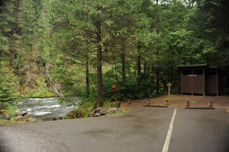
Enter Boulder Flat Campground at North Umpqua Highway (Hwy 138) mile 52.4 and follow the river access signs to the upstream end of the campground. The site located on river left has a concrete ramp suitable for raft trailers. Parking is limited to two dedicated spaces adjacent to the ramp unless using a campground site, so plan ahead and minimize shuttle vehicles. The site has changing rooms and a toilet shared with the campground.
At North Umpqua Highway (Hwy 138) mile 50.1, turn onto Forest Road 4770 and continue downstream 0.2 mile to this access on river left. This North Umpqua Trail trailhead has a small parking area and a short social trail to the river. The trail is suitable for hand-carry craft and can be negotiated by rafts with some effort. The site is primarily a trailhead and is not designed as a formal river access, although it is frequently used by boaters particularly when flows are low. No river access amenities are provided.
Located at North Umpqua Highway (Hwy 138) mile 47.0, this general store is not a river access but is sometimes used as a rendezvous point for river trips.
This scenic spot is located on the boulder-choked right side of an island, with an easy bypass on the left side of the same island. The reasonable entrance to the Garden is reached by going left at the small drop near the top of the island, and then cutting toward river right through a small channel. Caution is always advised as the boulders do catch any wood that has floated downstream.
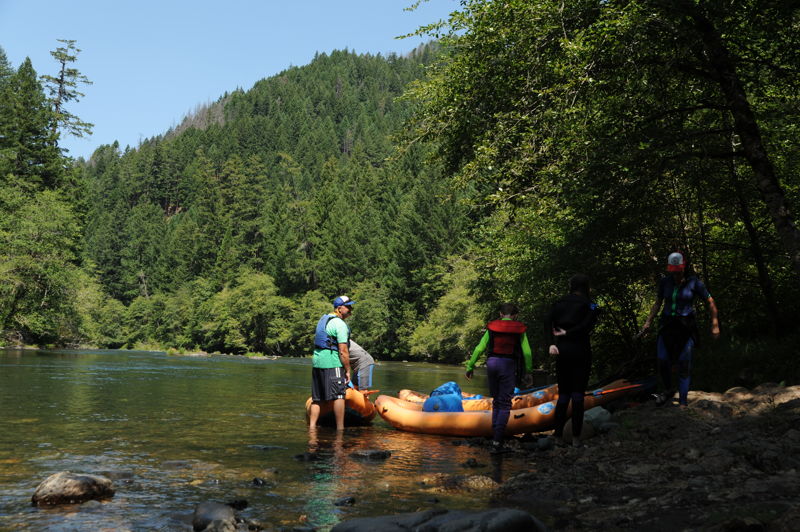
At North Umpqua Highway (Hwy 138) mile 46.5, turn onto Forest Road 4750 and continue 0.2 mile to the access on river right, upstream of the campground. This access requires a carry of slightly less than 100 yards over a wide trail suitable for carrying rafts. It can also be used as a lunch spot for Boulder Flat to Gravel Bin runs. Parking is limited, so plan accordingly and minimize shuttle vehicles. Park just upstream of the access trail, leaving the turnaround area directly across from the access trail open for other groups. The site has a toilet and a gathering area with a couple of picnic tables suitable for pre-trip safety talks, group organization, or relaxing while the shuttle is being run.
At North Umpqua Highway (Hwy 138) mile 43.5, just downstream of Apple Creek Campground, turn onto Forest Road 4714 and cross the river. This intermediate access on river left is primarily a trailhead for the North Umpqua Trail. River runners can use the informal social trail to reach the water, but it is only suitable for hand-carry craft and is not recommended for rafts. Kayakers use this site for shorter runs downstream to Gravel Bin, including the section through Alligator and Pinball. The site has parking for approximately six vehicles and a toilet but is not designed as a formal river access.
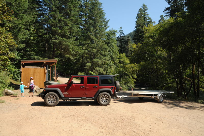
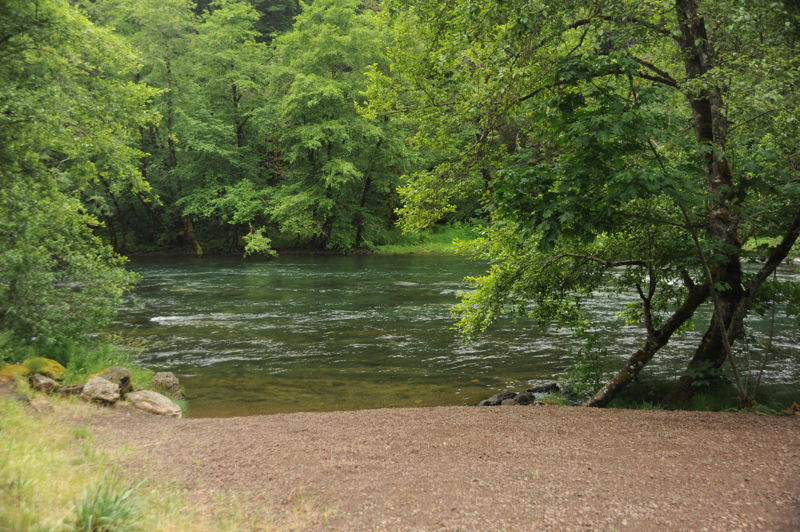
At North Umpqua Highway (Hwy 138) mile 39.7, turn into the Gravel Bin Access. This well-developed river access on river right is one of the primary launch and take-out points on this section. The gravel ramp is suitable for raft trailers, with ample parking and turnaround space for shuttle vehicles. Several additional access points just downstream of the main ramp provide hand-carry access for kayakers who want to avoid congestion at the primary ramp. The site has parking for at least 20 vehicles, a toilet, and changing screens.
At North Umpqua Highway (Hwy 138) mile 34.9, the Bogus Creek Access provides access on river right. The site requires a hand carry of slightly less than 100 yards to the river over a trail suitable for carrying rafts. Roadside parking is available for approximately a dozen vehicles, making it a practical location for staging shuttle vehicles. No formal amenities are provided beyond access to the river.
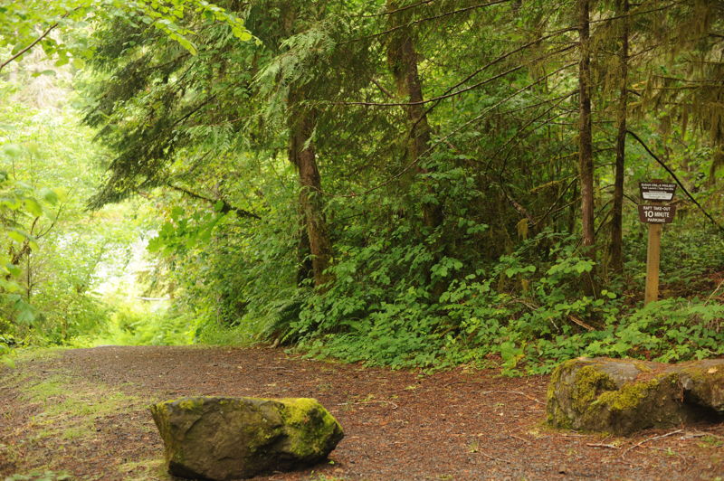
At North Umpqua Highway (Hwy 138) mile 28.6, river access on river right is available from the Susan Creek Day Use Area, which is separate from the Susan Creek Campground (mile 29.2). The loading and unloading area is straight ahead down the dirt road, but boaters should park in the day use area parking lot after unloading. The carry to the river is approximately 50 yards over a wide trail suitable for carrying rafts. If taking out here, check the beach beforehand so you can recognize it from the river, as it is inconspicuous from the water. The day use area has picnic sites and a toilet.
At North Umpqua Highway (Hwy 138) mile 24.6, turn into the Baker Wayside providing access on river right. This access can be used as an upper put-in for those running Deadline Falls and the Narrows. Kayakers typically put in at the upstream end of the park near the highway pullout and follow a short path down to a rocky outcrop. Putting in farther downstream requires an attainment and ferry to reach the main channel on the opposite side of the river. The trail is not designed for rafts, although a raft could likely be moved through with some effort. The site has a toilet, parking, and picnic tables on the lower bench along the river. The site functions primarily as a picnic area rather than a formal river access.
Starting river right, turning left into rapid. Go through small gap between rock on right and submerged rock on left, getting hit from left with whitewater as you drop into the hole. Entrance is hard to see and afternoon sun blinds your approach. The entrance is very bony below 1000 cfs and almost impossible to run without getting stuck. At high flows, the technical entrance/rocky grounding can be avoided completely going wide to the right.
Start right of river center. Align the right side of your raft with a barely visible patch of frothy water on the right to guide you into the correct position for the drop. There are few other visual reference points. Enter slowly, as last-second course corrections are nearly impossible. Scouting is essential, as the runnable slot is only about 6 to 8 feet wide. At flows above 1,000 cfs, the rapid is best scouted from Baker Wayside before launching. Below 1,000 cfs, it can be scouted from river right. Hidden boulders guard the right side of the slot, while a pour-over ledge on the left is capable of flipping a raft. Below the drop, a boil and hydraulic can high-side rafts or roll kayaks, and a slow, clockwise whirlpool may recirculate boats or swimmers. At typical summer flows, skilled kayakers often run a deep-water boof on the right side of the main channel, but the hole below can be difficult to escape if the boof is missed. Consider setting safety before running the rapid. Rescue throw bags can be deployed from river right at the bottom of the falls. Kayak portage is straightforward on river left, while raft portage is nearly impossible.
Below Baker Falls, the river enters a scenic bedrock gorge with mostly straightforward Class II whitewater. Although much of the riparian vegetation was lost in recent wildfire, the canyon remains attractive and provides enjoyable read-and-run paddling. Several small rapids can be slalomed for added fun before the river straightens into a flatwater reach leading to Upper Cable.
A quality Class III rapid that begins after a flatwater approach. A surfable hole near the top often provides a play spot for confident paddlers before continuing through the remainder of the rapid. While relatively straightforward, it is one of the more enjoyable rapids on this stretch.
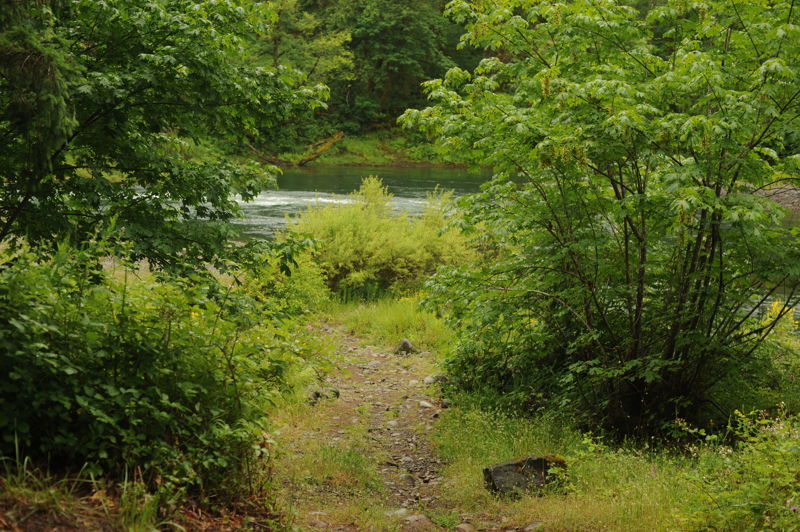
At North Umpqua Highway (Hwy 138) mile 23.1, this is the last access before the river drops over Deadline Falls. The access is easy to miss, located at a short break in the guardrail where a steep dirt drive leaves the highway. The steep drop off from the highway may be challenging for trailers and is not readily visible when driving quickly past it. Deadline Falls is visible just downstream near highway mile 22.6. This informal access is suitable for rafts but has no amenities.
Jul 20, 2026
Site visit to access sites on a drive along the North Umpqua River.
Sep 16, 2022
The LCCC, a paddling club based in Portland, travels the 3.5 hours to the Nump once per year, camping and paddling for 2-3 days in a row. This year we were lucky in that even though the Cedar Creek Fire was burning one drainage to the north we had good air quality. Even luckier, local rains brought up the flows by about 50 cfs each day.
Our trip started with a Friday run from Boulder Flat to Horseshoe Bend. The flow that day was about 850cfs, and we had some brand new members who were grateful to start out on the 'easier' section. On Saturday the 17th and Sunday the 18th we paddled from Horseshoe Bend, at 900 and 950 cfs respectively. This section is a delight at low water with clean lines, deep eddies, and lots of friendly play spots.
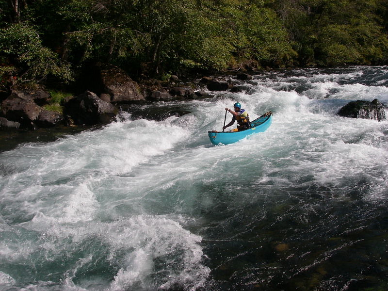
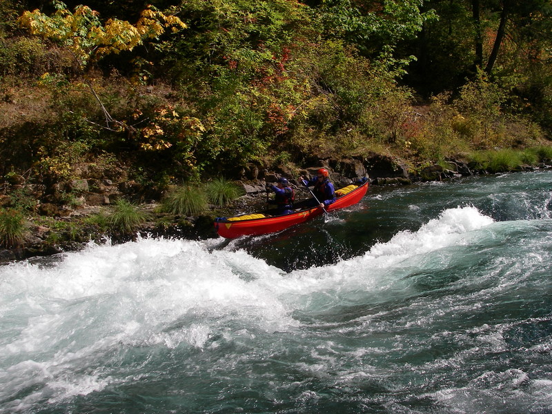
We had only one small raft in the flotilla, but also quite a few canoes and IK's to balance the preponderance of kayaks.
The largest rapid is Pinball and it follows on the heels of a drop called Alligator that tends to chomp on those newer to the river. We had one swimmer at Alligator but knew to set a rope on river right below it. Our newest paddler flipped at the top of Pinball and swam the whole rapid, saying at the bottom that it was so fun that he'd be willing to swim it again.
Oct 15, 2019
Not sure if the links above were supposed to go to the segment descriptions I think Teresa was referencing, but the BLM has 5 of them fairly well described such as her favorite-
https://www.blm.gov/or/districts/roseburg/recreation/wild\_and\_scenic\_river/umpqua\_river\_segment\_1.html