Umpqua, North
4. Idleyld Park to confluence with S. Umpqua
| Difficulty | II(III) |
| Length | 32 mi |
| Avg Gradient | 10 fpm |
| Gauge | North Umpqua River at Winchester, or |
| Flow Rate as of 29 minutes | 775 cfsbelow recommended |
| Reach Info Last Updated | June 4, 2022 |
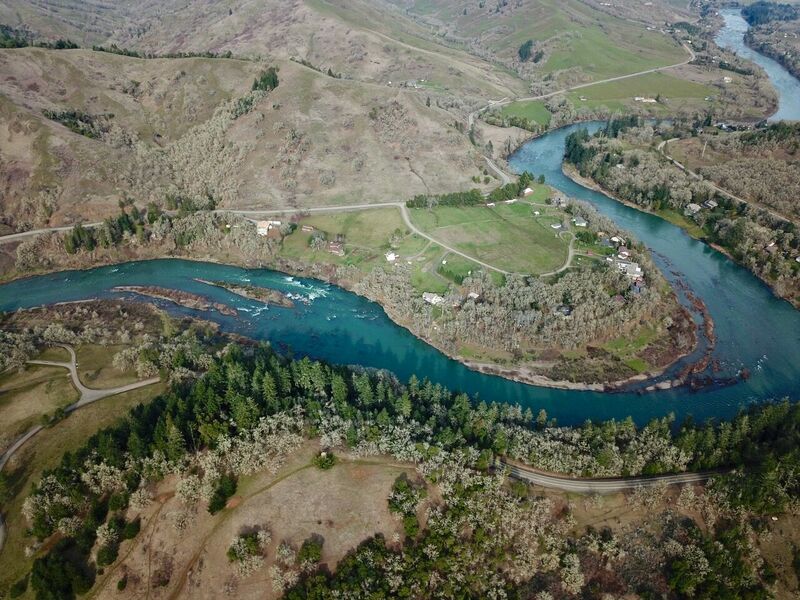
This is a great section for open canoeists, beginner kayakers/rafters, and drift boats. The river maintains gradient of about 11 fpm providing lots of class II and a few class IIIs for novice boaters. The river flows by grassy green hills with oak forests interspersed by farms, ranches, and private homes.
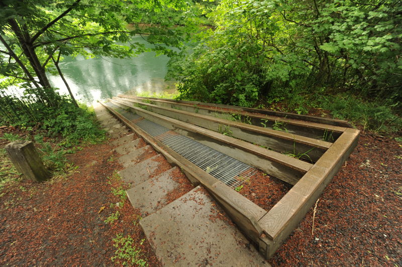
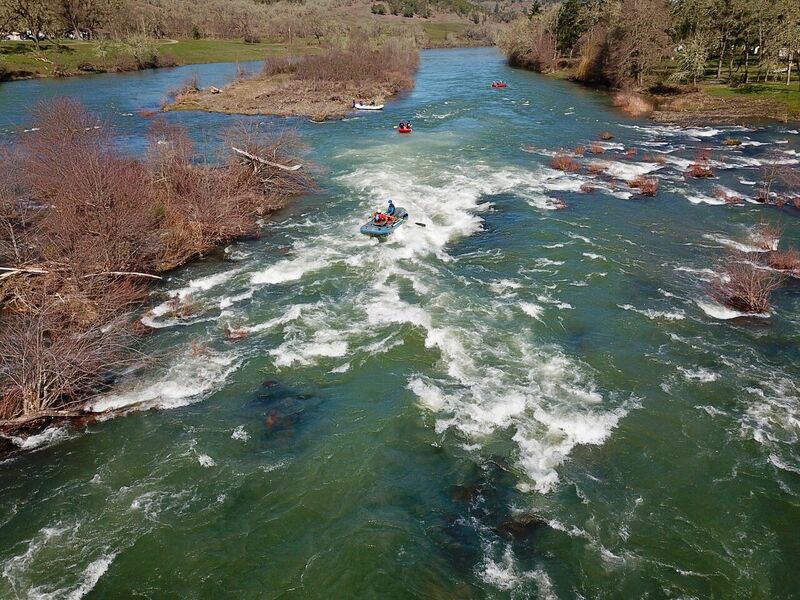
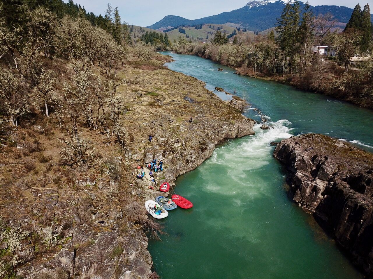
Approximately 2 miles downstream of Idleyld Park, Lone Rock Park near Glide, OR has a boat slide along Lone Park Road on the south side of the river. Drift boats use the steep ramp and the small dirt parking area here. A few miles downstream from here is Colliding Rivers, the most interesting rapid on the run. Two channels provide options with the left channel being visible from the National Forest turnout in Glide. Drift boats and novice paddlers prefer the left channel to the steeper drop on the right.
More class II continues interspersed by sections of calm water until Whistlers Bend. Here the river turns north into a class III set of standing waves at higher flows and a more technical rapid at lower flows. As the river comes back around the bend to the south, Whistlers Bend County Park provides an option to camp (sites 9 and 11 are next to the river) and make an overnight trip on this section
The next class III is Dixon Falls on the right side of an island about 4 miles downstream from Whistlers Bend. At higher flows around 5000cfs a large wave hole forms with a straightforward line down the channel. Beyond Dixon Falls paddlers encounter fewer private homes and the river has a bit more of a wilderness feel. Class II continues to the river left take-out about 1 mile before the town of Winchester, OR. Be sure to find the small dirt ramp access site beforehand as downstream lies the Winchester Dam and fish ladder which is a hazard to navigation.
Below the dam access is available at John P Amacher Park. From this point the river continues for 6.6 miles of class II to the confluence with the South Umpqua.
While this section can be ru
...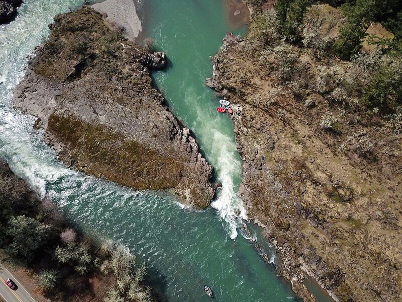
Where the Little River joins the North Umpqua the channel geology has the current of the two rivers opposing each other to create the phenomenon of the Colliding Rivers.
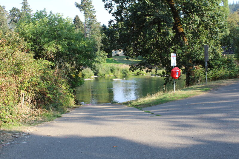
Access on river left in Whistlers Bend County Park.
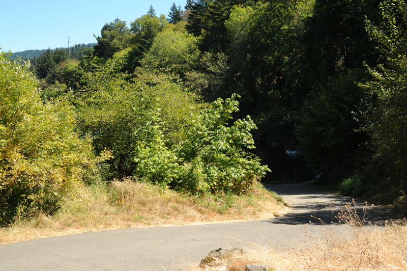
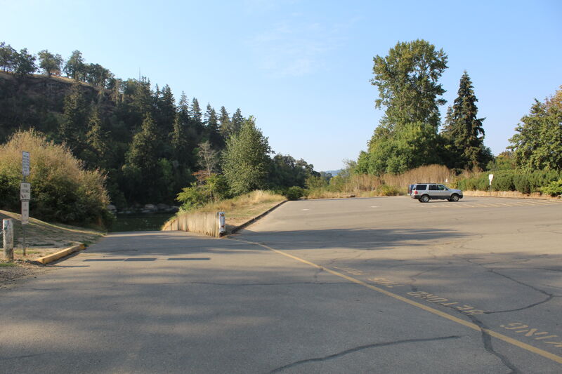
Access on river left off Page Road and the last good take-out before Winchester Dam.
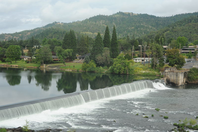
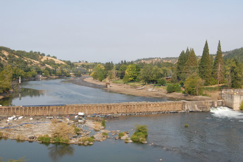
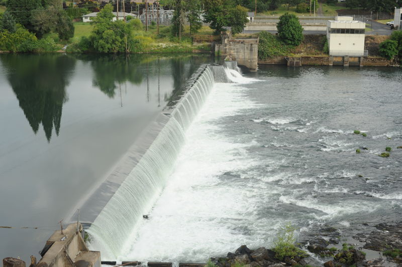
Winchester Dam is a hazard to navigation that must be portaged. It also inhibits fish migation. American Whitewater has advocated for its removal.
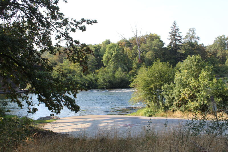
Access on river left on the donwstream side of the I-5 Bridge and below Winchester Dam.
Aug 19, 2023
A patch job on the Winchester Dam is underway in August. With no access to the fish ladder, the dam represents a barrier to fish passage for several weeks while the work is underway. This 130 year old dead beat dam is a high hazard struture that at one time produced power but no longer does. It is a candidate for removal.