Willamette, Middle Fork
1) Hills Creek Dam to Black canyon campground
| Difficulty | II |
| Length | 11.3 mi |
| Avg Gradient | 18 fpm |
| Gauge | Mf Willamette River Abv Salt Crk, Near Oakridge,or |
| Flow Rate as of 20 minutes | 556 cfsrunnable |
| Reach Info Last Updated | June 1, 2021 |
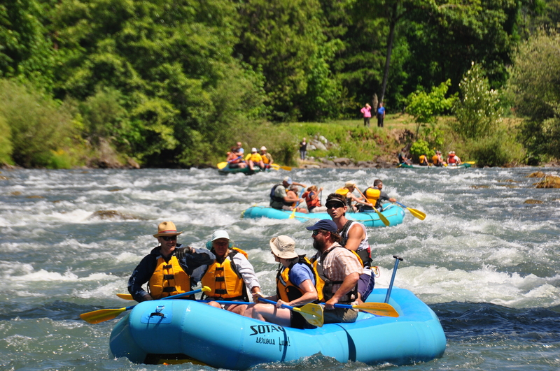
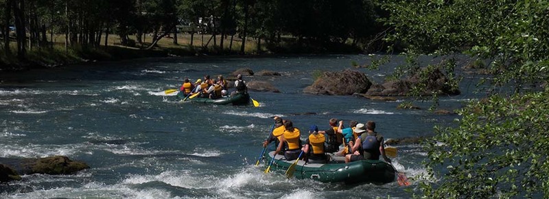
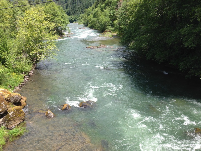
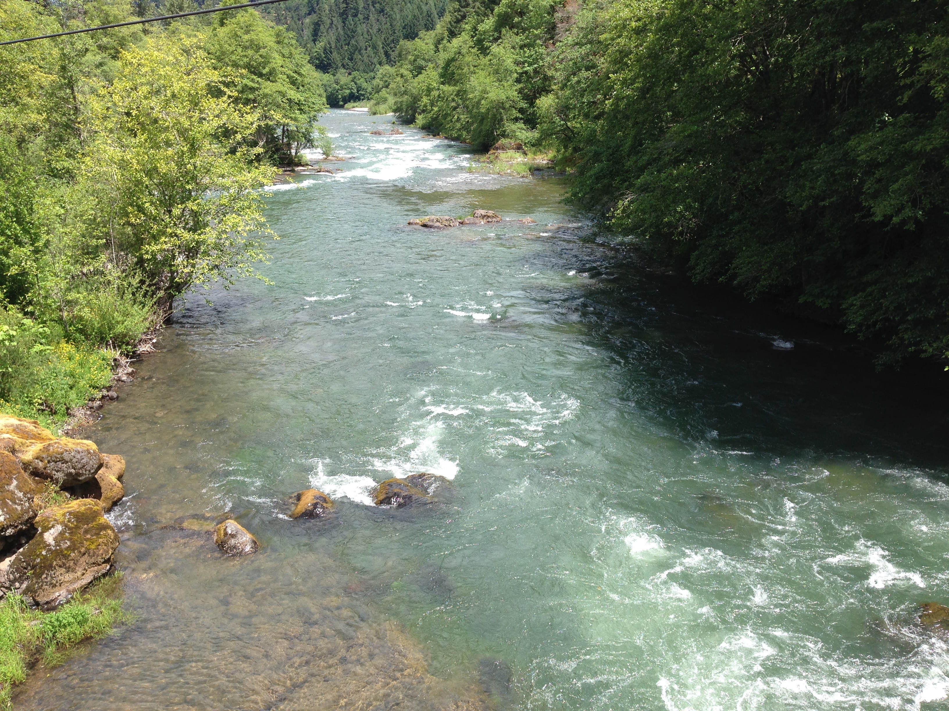
This upper Willamette strech is a fun year round run. Its easy access, predictable flows, and beginner friendly character make it a worthwhile trip. Hills Creek Dam to Black Canyon Campground is generally divided into two sections.
Hills Creek Dam - Ferrin (highway 58 bridge), or North Fork and Middlefork Confluence
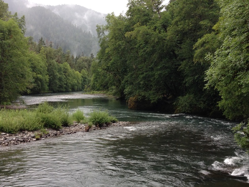
This section has most of the action along with the best scenery. From the put in bridge to Greenwaters Park you'll find some good class II action in a forested setting. The remaining rapids are spread out along the urban shoreline.
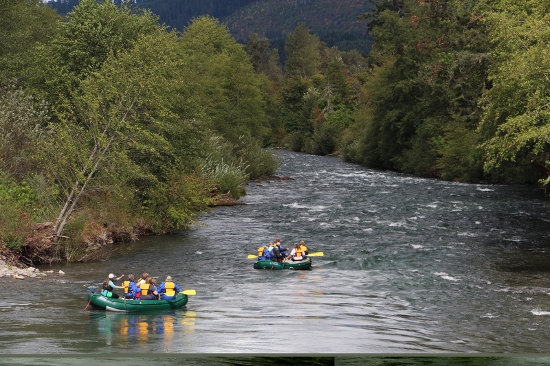
Ferrin - Black Canyon Campground.
Below Ferrin bridge you'll have a mile or two of flat water before reaching 'Devils Kitchen'- easly identifiable by the green bridge just before the rapid. Below that the river gains in volume from the North Fork of the Willamette on river right. Alternate access at the Westfir City Boat Ramp on river right, upstream of the confluence with the north fork. Another 5-6 miles of navigable class II remain. With some good side hikes such as: Bridge creek & Tire creek.
Flows
The gauges measures the outflow of Hills Creek Dam. The minimum outflow of the dam is 400, which is still enough for a raft or drift boat (in my opnion). Generally the objective of the release is to control temperature downstream, so as the weather gets hotter and dryer the Army Corps will release more and more water.
Shuttle:
The Lower:
Take-out: From Interstate 5 take Highway 58 East toward Oakridge. At mile 27 you will reach Black Canyon Campground, which is the take-out for the lower. Fee's apply.
Put-In: Continue upriver (east) on Highway 58. After mile marker 33, you'll cross the river (Ferrin bridge). On the left side after a bridge is a small dirt road with river access. As of 2019 this access has a locked gate. Alternate access is at the Westfir City Boat ramp 1/2 mile downstream of
...Mar 6, 2022
We put onto Salt Creek when the MFW was running at about 390, and the Nf/MF was at 2.2 on the internetz gauge. We accessed Salt creek from the double bridges easily found on Google maps, or just by following your nose in the area. The ‘park and play’ under the two bridges was phenomenal for some novice kayakers. We then scratched our way down Salt Creek about 200 yards to the MFW for a really fun section. Again, we had some movie paddlers and the rapids were a tiny bit challenging at these low flows. Long class 2 rapids, with rock dodging, and one bigger 2+/-3 type of basalt ledge thing, best run on the left. In total we did about 5 miles on the MFW to a boat rap of sorts just downstream from Town (Oakridge?). We had a few nice beers at the Three Legged Crane, afterwords. I’d recommend the bacon wrapped dates, they were tasty AF!