Cowanshannock Creek
Greendale 8.0 mi. to Route 66, 3.0 mi. to Allegheny R.
| Difficulty | IV |
| Length | 11.7 mi |
| Avg Gradient | n/a |
| Gauge | Little Mahoning Creek at Mccormick, Pa |
| Flow Rate as of 3 hours | 82 cfsbelow recommended |
| Reach Info Last Updated | December 31, 2003 |
Dave Woten gives the beta:
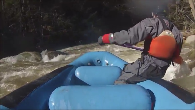
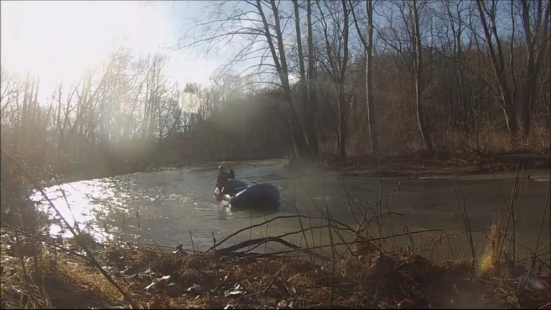
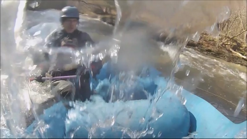
Cowanshannock Creek is a small delightful run that flows into the Allegheny River in Kittanning. It is perfect for the up-and-coming creeker ready to step up from Slippery Rock Creek towards more gradient and tighter lines. Numerous tight lines to choose from, some rock banging, log boofing and even pipe dodging are all part of what makes this trip creeky.
The take-out is at the PA Fish Commission boat launch area on Cowanshannock Creek just before its confluence with the Allegheny River. You drive parallel to the run for much of the shuttle. There is a put-in area in the woods partway up the run which cuts out the flat water and a couple rapids. The long version has you putting in around route 28/66.
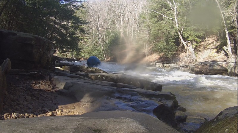
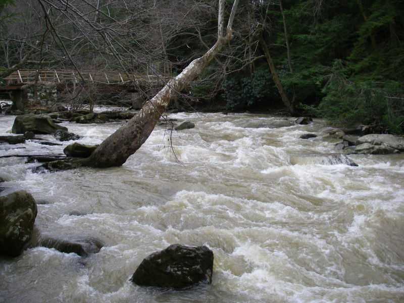
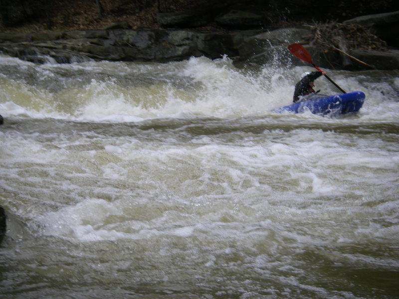
We hop on the creek just behind a min-mart type store. Watch for the 'no parking' signs lining the road. Here is an obvious flat area across from the mining operation where we get a visual. If the little ripple looks like you can float downstream it is runnable. If the water is coming out of the banks into the river right grass it is definitely on the high side. The photo 'Buttermilk Falls' at the bottom of the page was taken with the water up in the grass (very high). Compare both photos since they are the same rapid.
The Cowanshannock begins with a long stretch of flatwater, however, time passes quickly due to the fast current and enjoyable scenery. The first couple rapids are a good place to warm-up, do some eddy hopping and even a little surfing. You will soon approach a small steep slide. You can have some fun playing at the bottom. You will notice the gradient begin to pick up. Soon you will approach the steepest part of the creek beginning with Buttermilk Falls, a 2-3 foot ledge stretching from river left to 2/3 of the way across the creek. The lead-in to the falls is shallow. You can go over the drop anywhere--just stay straight. The far right line requires a more technical but easily manageable move with an
...Jun 25, 2020
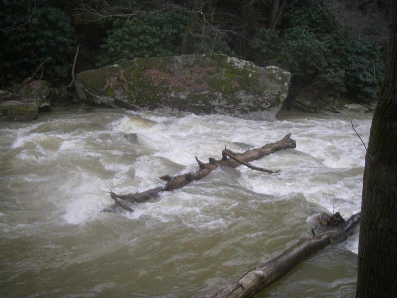
After getting a few runs in on this it seems a 'normal' runnable range on the correlation Little Mahoning gauge is about 400-1000cfs. Below 400 starts to get scrapy and above 1000 it is still plenty runnable but the rapids start to change. As mentioned in below post the easiest way to run this is the last mile which has majority of the rapids and there is a parking lot near buttermilk falls (Putin) that is just a short quarter mile hike away which makes it lapable. There is a creek-wide strainer about a half mile from the takeout which is a portage on left or right most of the time. Above 1000cfs it may be runnable, but scout and run it with caution if you so choose. However, this run is certainly a step up from slippery Rock Creek, I would not say it is a solid IV below 600cfs but as you approach 1000cfs or above this could be considered in the realm of IV with some must make tight moves, possible strainers/pinning potential, and run becomes very continuous around 800cfs and above.
Feb 26, 2018
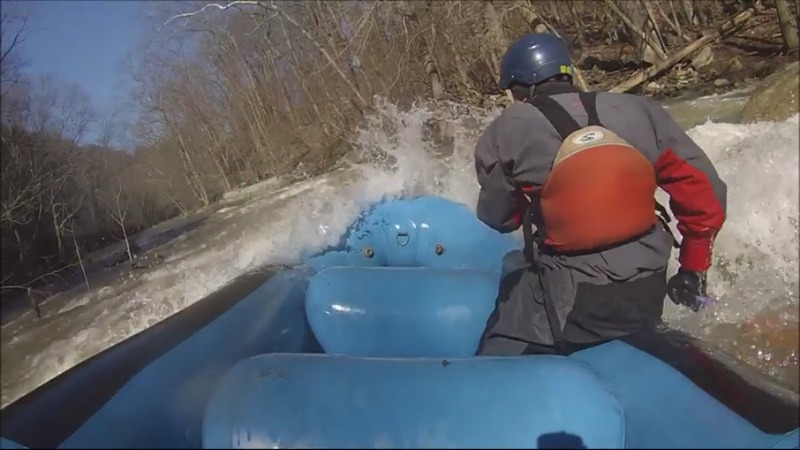
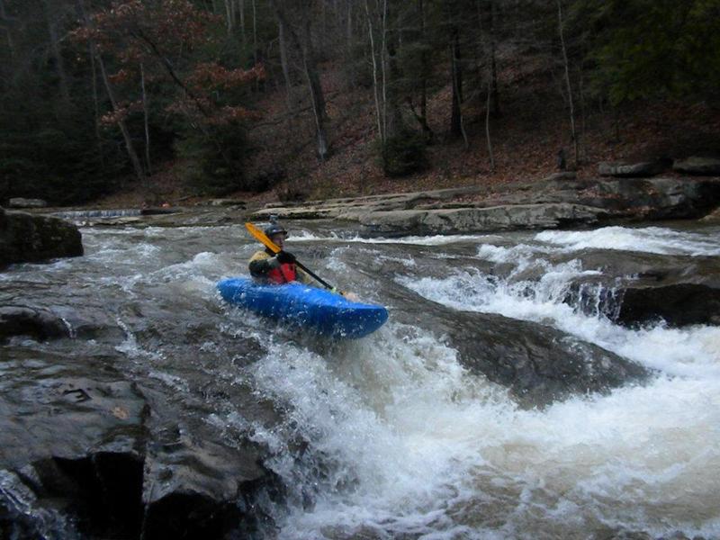
Here's the finish of a beautiful pry stroke to position my boat just to the left of a rock.