Shohola Creek
Shohola Falls Park to Mouth (at Delaware R.)
| Difficulty | I-IV |
| Length | 9.4 mi |
| Avg Gradient | 65 fpm |
| Gauge | Shohola Creek Near Walker Lake, Pa |
| Flow Rate as of 28 minutes | 46 cfsbelow recommended |
| Reach Info Last Updated | January 21, 2021 |
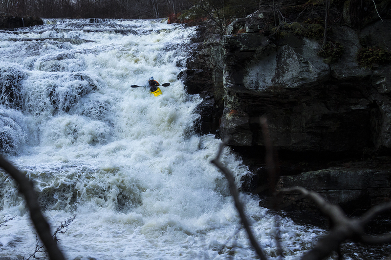
The Shohola is an odd river. It begins with a runnable (with multiple lines) 50ft waterfall/cascade. Then goes through a box canyon with class III to IV water for most of it's 1/2 mile length. Then, after another 1/2 mile or so of good whitewater, it goes through a very flat period where relatively slow moving flatwater paddling is interspersed with a ledge occasionally. Finally, it finishes with some good slides and another box canyon with a good drop at it's entrance. The scenery is beautiful at times and nice the rest of the time. It's a fun creek, but if your plan is to run the whole thing, it can be a longish day, so get on early in the winter, when the days are short.
It can pick up wood (and ice in winter), so keep your eyes ahead and scout the box canyons from the rim (if possible) before entering. This is easy on the first one (there's a trail along the rim on river right), and not too difficult from river right on the second one. Hiking out from the middle of this run if someone gets hurt could be tedious, look at the map before you get on.
Nowadays most people only run the top box. It's the most bang for your buck. Just carry up the trail on river right and repeat offend. (It takes about 15 minutes down the river and about 15-20 minutes up the trail to complete a lap, depending on how fast you paddle and/or hike.)
There is also a lot of private land around here so be careful when scouting. Once a group of us was paddling on a rare, warm sunny day in April and we came around a bend to find a man lying naked on his lawn, sunning himself. He was a little surprised to see 7 of us paddle by.
There is now an online gauge on the Shohola itself, at Knealing Rd., above the last gorge, so that's the gauge to use now.
The gauge on the Bush Kill at Shoemaker used to be the main online indicator for this run. It should be over 2.5', and gives a good correlation, but the Shohola drains a large swampy area above the lake and will genera
...Aug 9, 2020
Why does the map here show the run going through Shohola Lake when the beginning is clearly the north end of the lake at the falls?
Jun 6, 2019
There is a new USGS Gauge for this river located on the Shohola itself, 7 miles downstream of the put in for the upper box. It can be found at:
https://waterdata.usgs.gov/pa/nwis/uv/?site\_no=01432495&PARAmeter\_cd=00065,00060,00010
170 on this gauge would be my estimate of a minimum level. 400 felt like a fun medium.
Dec 26, 2014
2.25 on Bushkill Gauge / 42cfs on Little Bushkill Gauge
Jan 1, 1900
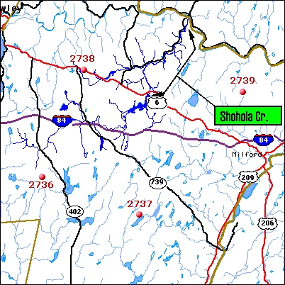
This map shows the relation ship of the rain gauge to the Shohola watershed.
I know of three lines down this. Straight down the bouncy slide on the left, down a series of increasingly larger ledges on the right, and down the right until the last drop, then cutting left for the finish.
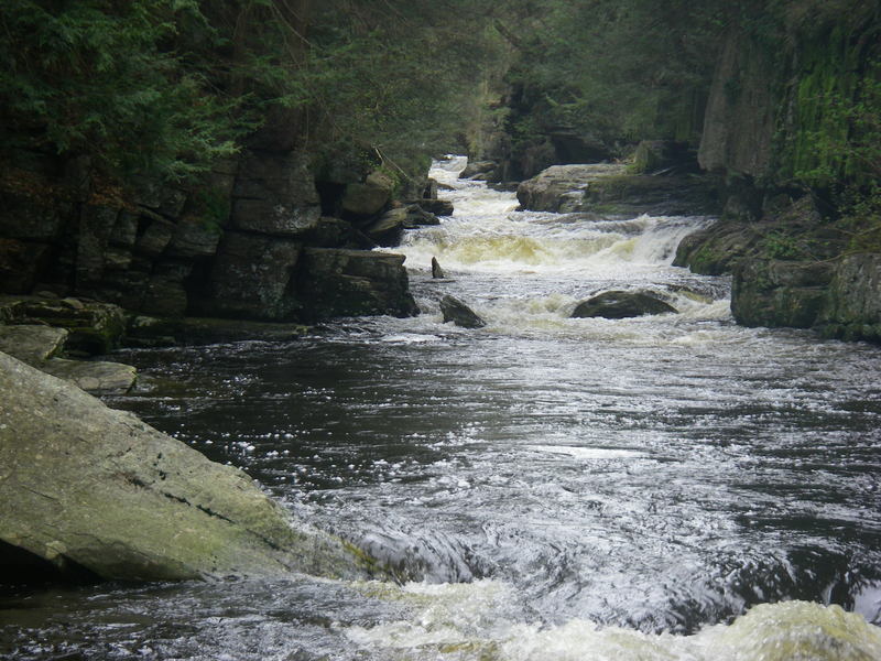
This is a view upstream from near the end of the first gorge. It begins at the base of the falls and goes for about 1/4-1/2 a mile.
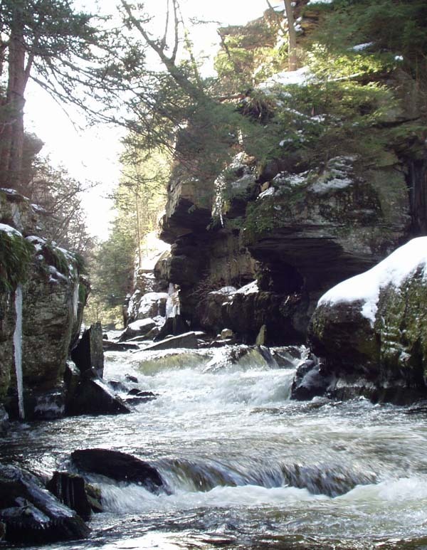
This is an easy put-in at the end of the first gorge.
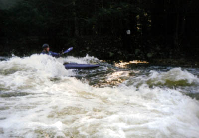
There is some surf on this run, as on any ledgy run.