Dinkey Creek
3.8 Old mine trail to NF Kings confluence(Balch Camp Section; aka Lower)

| Difficulty | V |
| Length | 1.5 mi |
| Avg Gradient | 130 fpm |
| Gauge | Dinkey Creek Above North Fork Kings |
| Flow Rate as of 55 minutes | 24 cfsbelow recommended |
| Reach Info Last Updated | January 25, 2019 |
The Balch Camp section is an excellent short introduction to Dinkey Creek which is accessible year round. Boaters paddling the Dinkey Creek Waterfalls section will know the Balch Camp section as the last 1 3/4 miles of the Waterfalls reach. They may wonder why they should bother with a short section of such a famous run. This section has its own listing for several important reasons. First off, this was the first section of Dinkey Creek to be run (by Paul Martzen and Ollie Brown in 1985). For a year or two it was the only section of Dinkey to be run. Secondly, it has easy year round access, so it can be run as soon as flows come up in the winter, when other sections are inaccessible. Three, this section has a fairly wide flow range and can be run at much higher levels than the Waterfalls section. High flows in this reach and in the NF Kings immediately downstream provide a very different experience than the flows typically boated when doing the Waterfalls section.
With such easy access, boaters can take advantage of good flows during the winter. Boaters paddling Dinkey, frequently continue on down the North Fork Kings as they are similar in difficulty. Since Balch Camp is only a few minutes away from the class 3 Banzai! section of the Main Kings, expert boaters can paddle Dinkey and the NF Kings while their intermediate friends paddle Banzai!.
Season: Dinkey will typically run from midwinter, during big storms and after sufficient storms, till early June.
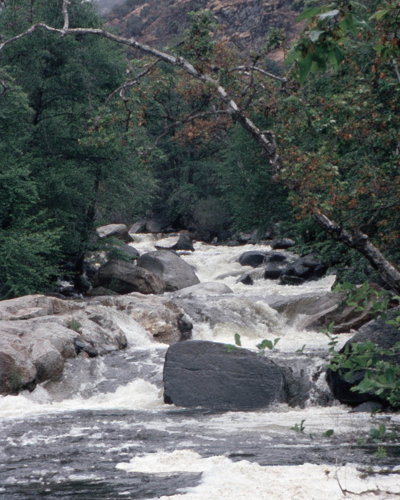
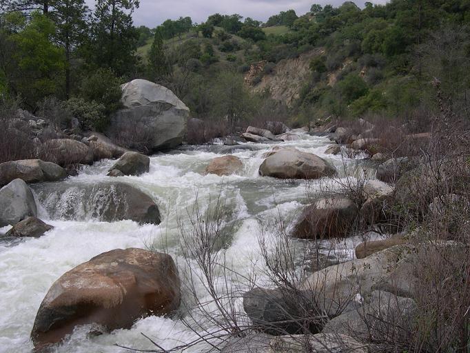
Character: Dinkey Creek is pool drop, but with long, technical rapids between short pools. There are a number of bedrock ledge drops but many rapids consist of finding routes through fields of medium
...
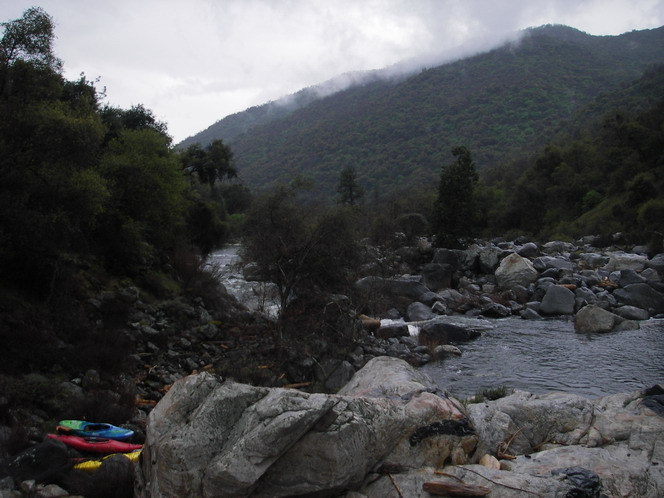
This beautiful pool marks a distinct transition between the Waterfalls Section and the Dinkey Walk-in or Balch section. The character of the creek is distinctly different between upstream and downstream of this pool. Getting to this put-in requires a bit of extra route finding and work as compared to the Sand Pile put-in a short ways downstream.
The creek pools behind a large bedrock dam. Boaters can usually beach on top of the dam to scout. At low flows a steep, tight slot in the center can be run. At high flows this center slot is probably too sticky, but a left side route opens up.

This is the put-in that is most easily and quickly accessed by trail. It is about a 10 or 15 minute hike from the car to this put-in. The large obvious sand pile is probably a waste pile from the mining operation that once existed here.

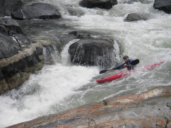
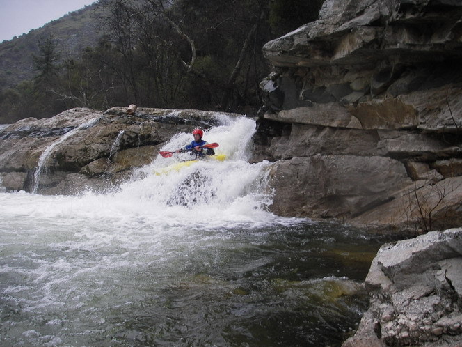
Probably the steepest and junkiest rapid on this section of creek. (Not counting Funky Chicken). The creek dissapears into a short maze of small boulders, before opening up in the middle of the drop. Scout from center island/boulders. The usual line involves tight manuvering to get to the left side then careening down over some boulder ledges. A short pool then leads to some very pretty ledge drops.
This is probably the longest rapid on this section. The flow funnels into a tight, fast, rock slalom that gets a little steeper as it goes.
A steep congested rapid. At high flows numerous lines open up, but at lower flows there is a line down the right side that involves charging up onto the right wall, sliding down, then immediately doing that again.
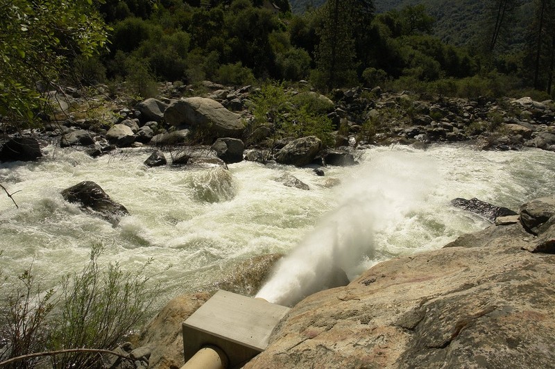
A large pipe crosses overhead, carrying water from the NF Kings to the Kings River Powerhouse. A long steep slalom rapid starts immediately after. If you see a huge spray of water coming from river right, near the bottom of the rapid, PG&E is releasing 10 to 25 cfs from a valve. (required by FERC for fish) Beware! The spray is strong enough to knock you over.
A nice pool and take-out slabs await on river left after the final drop into the NF Kings.
Jun 8, 2006
This pipe releases 10 cfs from the Dinkey Creek Siphon all year round by order of FERC. The blast is strong enough to instantly capsize any kayaker that passes through. Most boaters portage this part of an otherwise class 4 rapid. This release is about 40 yards below the siphon. The siphon is the huge silver overhead pipe which carries water from the NF Kings to the Kings River powerhouse.
This large pipe carries water from the NF Kings River to the Kings River powerhouse on the other side of the mountain. It is called a siphon because the pipe exits the mountain up high, drops down to cross the creek and then climbs back up to the same height before entering the mountain on the other side.
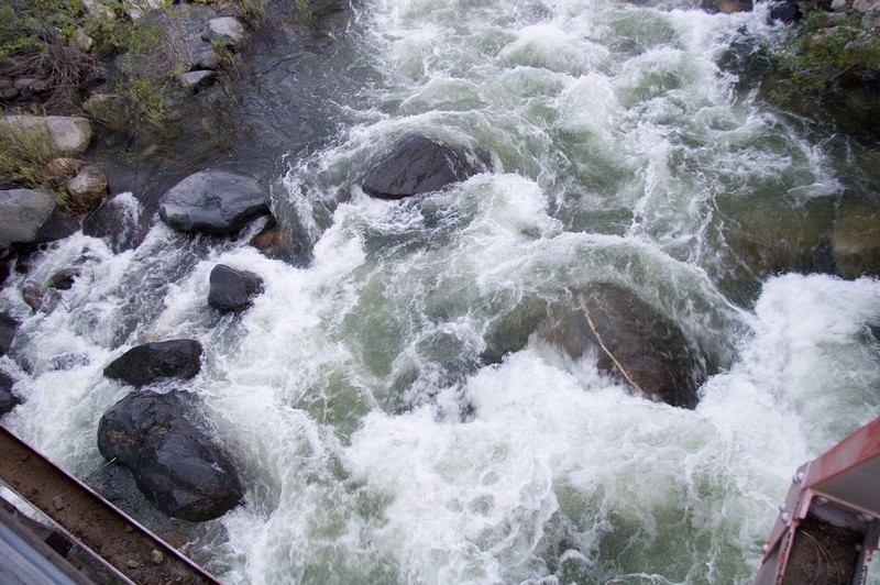
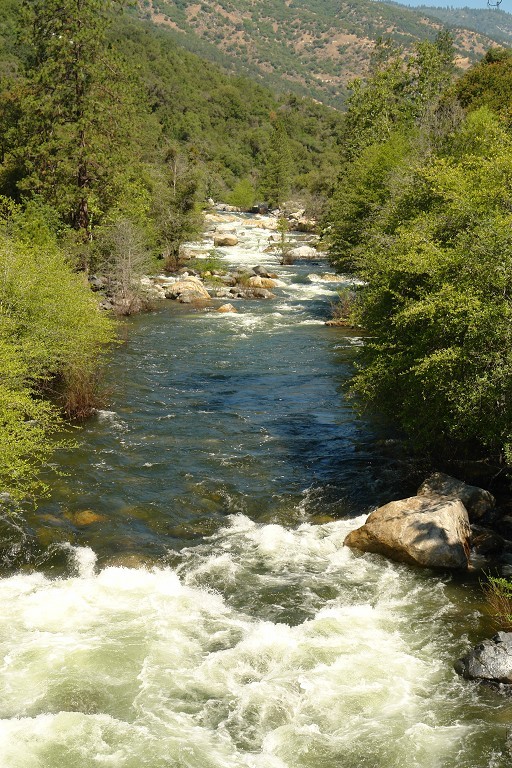
Looking upstream from the bridge in Balch Camp at a high medium flow.
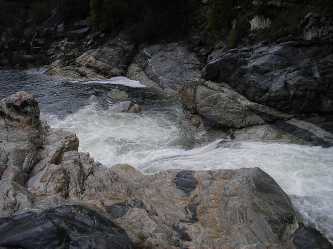
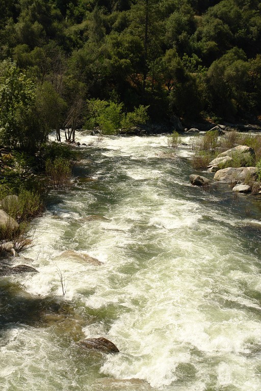
Looking downstream from the bridge in Balch Camp at the confluence with the NF Kings.
Jun 3, 2006
These rocks on the upstream side of the Balch Camp bridge over Dinkey are distinctive enough that they should help you determine whether the flow is low or high. The flow in this picture is probably just on the high side of medium for this section.