| Difficulty | I-II |
| Length | 45.1 mi |
| Avg Gradient | 7 fpm |
| Gauge | Guadalupe Rv at Comfort, Tx |
| Flow Rate as of 18 minutes | 1250 cfsmedium runnable |
| Reach Info Last Updated | April 10, 2024 |
River Description
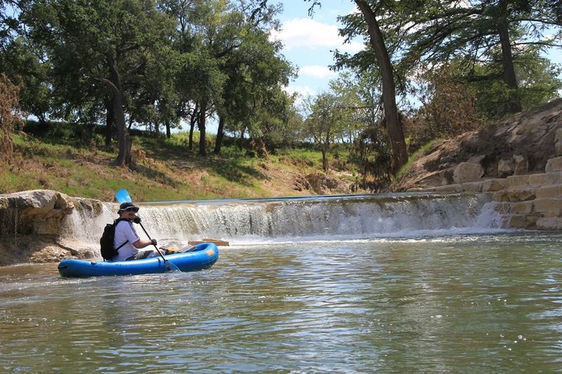
Scenic stretch of the Upper Guadalupe, infrequently run due to its length, remoteness, and the scarcity of rapids. Texas Whitewater mentions 'numerous small rapids' on this stretch but provides no specific beta. Satellite scouting shows a lot of flat water. There are no campgrounds or other facilities along the run, making logistics for a multi-day trip difficult at best.
Distances and gradient measured using GIS tools in 2015. Difficulty rating and range of recommended flows are a guess.
River Features
I-10 (Twin Bridges)
Access PointDistance: 0 mi

Public access and parking at river right under the bridges, along a dirt turnout off of the I-10 Frontage Rd.
Dam / Mill Race Structure
HazardDistance: 0.39 mi
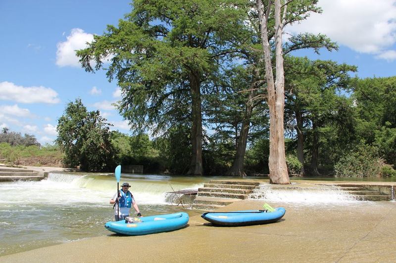
Known hazard at certain water levels. This low-head dam was responsible for a kayaker death in 2004, at a river flow of approximately 700 cfs on the Comfort Gauge.
Old Railroad Bridge / River Rd
Access PointHazardDistance: 4.93 mi
A low-water crossing on the upstream side of the bridge provides access but may also pose a hazard at low water levels.
River Bend Rd
Access PointHazardDistance: 7.05 mi
Old low-water crossing on the downstream side of the bridge provides access but may also pose a hazard at low water levels.
Waring Welfare Rd Bridge (Waring Crossing)
Access PointHazardDistance: 11.03 mi
Low bridge poses a hazard.
FM 1376/Sisterdale Rd Bridge (Sisterdale Crossing)
Access PointDistance: 18.94 mi
Public access and parking via a dirt road that runs along the highway easement on the southwest (river right, upstream) side of the bridge.
FM 3351 Crossing (Bergheim)
Access PointDistance: 45.43 mi
Public access on the northeast (river left, downstream) side of the bridge via a dirt/gravel road that runs along the highway easement. Paddlers can also pay to park and take out at Bergheim Campground.