The warnings about abrasive rocks are pretty much spot on. One trip at moderate flows wore through the vinyl outer skin of a 'old Royalex' boat that was in pristine condition. An XP-10 didn't seem to wear much at all, though friends report that they wore through a rec boat on this run.
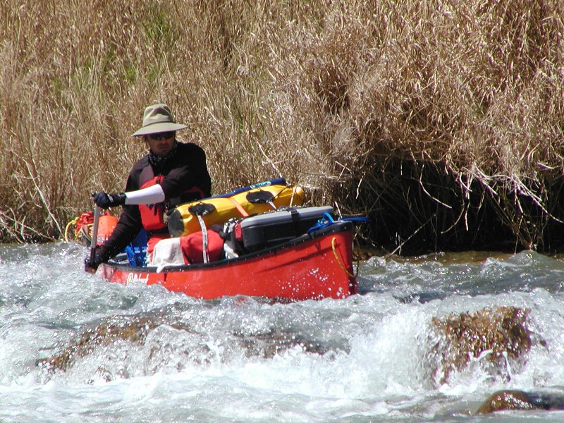
This isn't what I think of as a technical run, but there's a lot of weird stuff. A few rapids tap into Class III range, but we had to line a couple of those due to rocks blocking the channel and then reenter in the current. Much of the river bed is mostly 'undulating' limestone that has been plated with travertine. The river was up, so we just rubbed in places, but people have had to jump from channel to channel when the river is down. There's also about a mile where the river runs over dead flat rock and is only a few inches deep. Weird stuff.
The run is remote, but it's not totally isolated. There are roads off to the east and the west. According to Emilio Hinojosa, there is cell service once you get out of the canyons (I even texted someone one night.) We also saw a flashlight one night. It's likely that either Emilio or a landowner was checking on us.
Relatively speaking, the lake was one of the bigger challenges. Once you get into Lake Amistad the canyon walls are steep and there aren't any good places to get out. Besides, all that flatwater is a drag and would have been more so if the wind had been blowing (upstream.) Arms and knees were sore, and we were nursing a couple of injuries. A friend of Emilio's towed us out from the high bridge. This cost more than the shuttle but it was worth it.