| Difficulty | II-IV |
| Length | 16.6 mi |
| Avg Gradient | 16 fpm |
| Gauge | Pedernales Rv Nr Fredericksburg, Tx |
| Flow Rate as of 9 minutes | 3860 cfsmedium runnable |
| Reach Info Last Updated | July 12, 2015 |
River Description
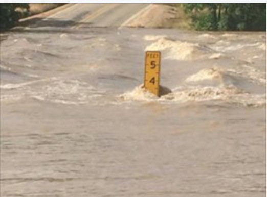
The Upper Perd doesn't go very often, but when it goes, it goes big. The river bed is extraordinarily wide (often well over 100 yards), so even thousands of cfs on this run will still be surprisingly shallow. Many whitewater boaters won't bother with this stretch until it gets near 10,000 cfs. For more specific beta, see Texas Whitewater. Difficulty rating and range of recommended flow are taken from the book.
Distances and gradient measured using GIS tools in 2015.
River Features
RM 1320 Low-Water Crossing (Sandy Crossing)
Access PointPortageHazardDistance: 3.53 mi

Known to be hazardous at high water. Limited parking available along the highway right-of-way at river right.
Levi Deike Ln (Low-Head Dam/Low-Water Crossing)
OtherDistance: 5.11 mi
Runnability unknown (current beta needed)
LCRA Pedernales River Nature Park
Access PointDistance: 16.7 mi
Public parking/access at river right