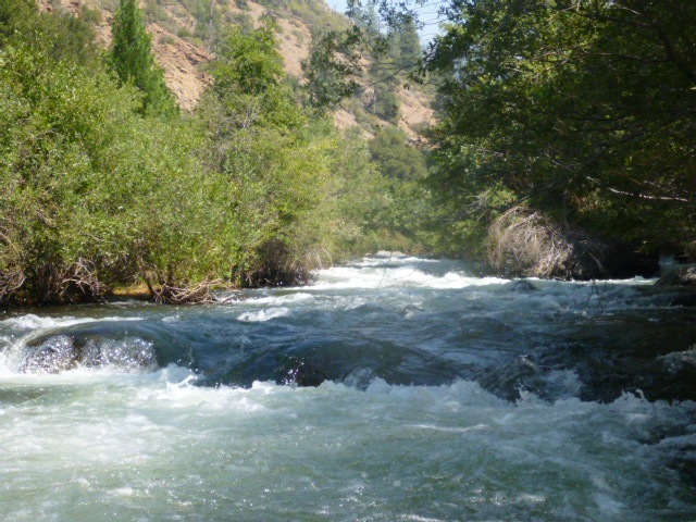
Feather, N. Fork
1) Caribou to East Branch Confluence(Caribou)
| Difficulty | IV |
| Length | 7.4 mi |
| Avg Gradient | 78 fpm |
| Gauge | Nf Feather R Below Belden Dam |
| Flow Rate as of 12 days | 152 cfsstale data |
| Reach Info Last Updated | November 11, 2024 |
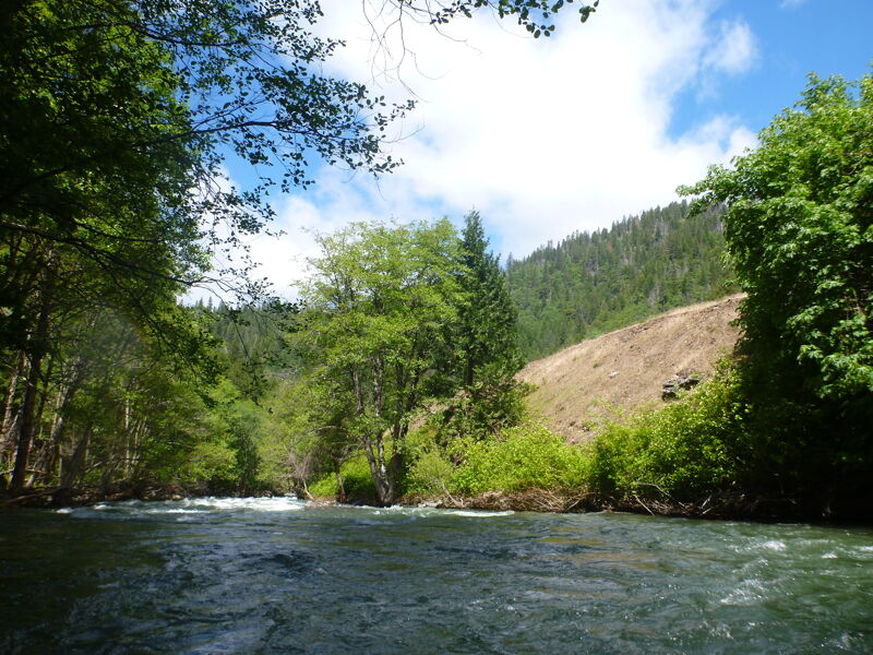
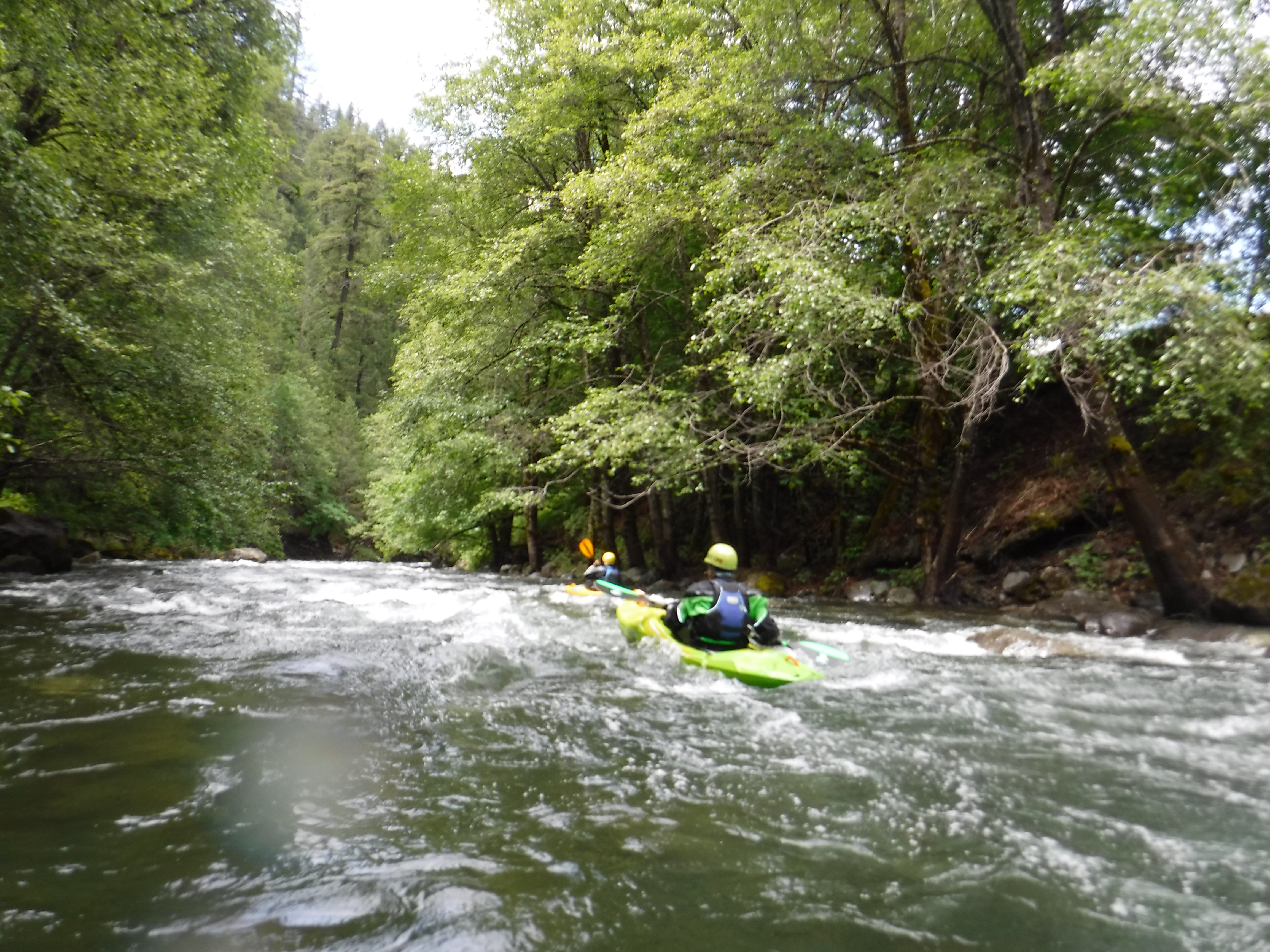
The Belden Reach is the 8-mile portion of the North Fork of the Feather River in the Plumas National Forest between PG&E's Belden Dam and the confluence of the North Fork of the Feather River and the East Branch of the Feather River near Highway 70. Caribou Road follows the Belden Reach.
Prior to the construction of Belden Powerhouse in 1969, this was a popular kayaking stretch with dependable flows from the Caribou Powerhouse. Slalom races were regularly held on the river between Queen Lily Campground and NF Campground. (Charles Martin, 1974, Sierra Whitewater)
Since 1969 this section seldom sees high flows, so the river bed had become overgrown, brushy and very narrow in many areas. In 2017, the Belden Powerhouse was off line for about six months, requiring PG&E to transfer water down the river in order to supply the powerhouses down stream. 2017 was also a very wet year. The result was high flows, 2000 - 5000 cfs, which cleaned out the rvier channel considerably.
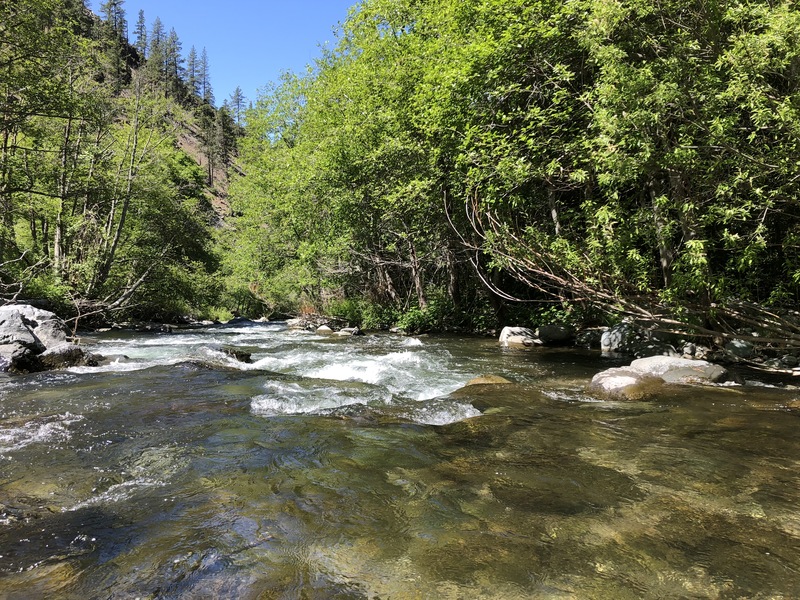
During relicensing of the hydropower project impacting flows on this reach, American Whitewater was able to negotiate flow studies for this reach and the upper, class V, Seneca reach. What we found was a classic class III+, 9 mile long gem. The reach has the feel of a medium-sized creek; it has fun rapids with powerful hydraulics and some great surf waves thrown into the mix. After completing the flow study we got to work negotiating flows with PG&E. Finally, in 2004 we reached agreement with PG&E, resource agencies, Plumas County, and other organizations. This agreement includes restored flows for recreation July through October.
Since 2004 the Settlement Agreement has been under review by the State Water Resources Control Board. The main issue in play here is, how to best cool down the water in the North Fork Feather River in order to restore what was once one of the best trout fisheries in California.
Returning flow to the North Fork Feather River has
...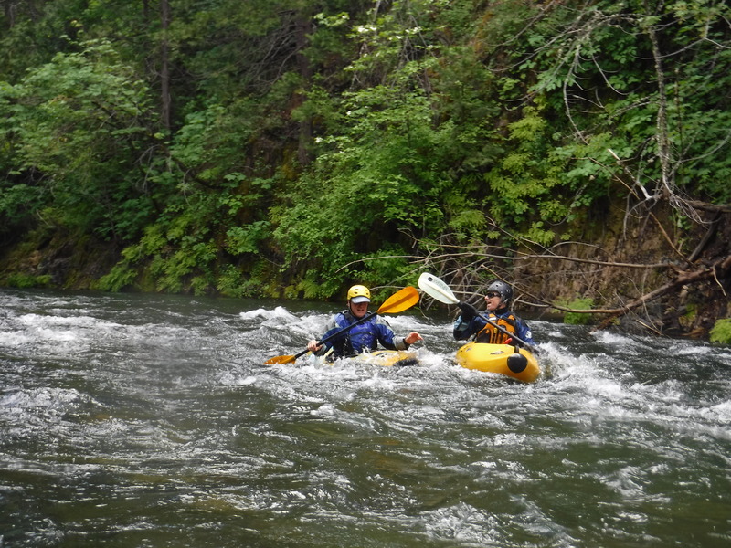
This section feels like you are in the Cascades, probably because you are.
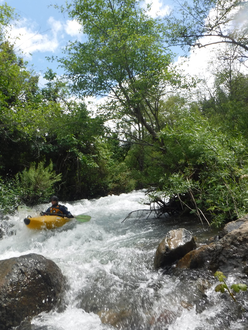
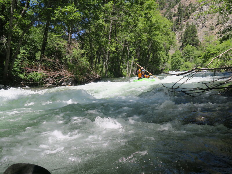
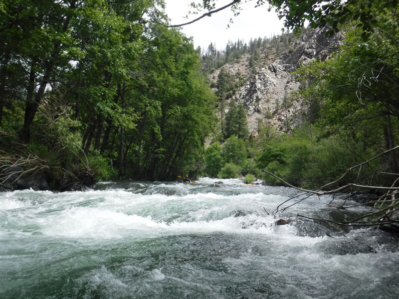
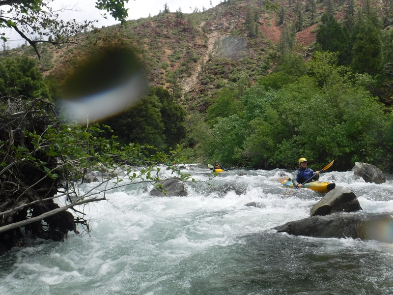
This rapid cleaned up considerabley in 2017. Right and left lines. Both are still tight, wood in the far left of the left channel as of 2018 You can guess by the name that things get a bit brushy here. An island splits the channel; both sides go but this rapid is prone to collecting wood. This has a committing entrance, and not many eddies. Scouting is recommended from the road. This rapid is .3 miles above the Mosquito Creek, Bridge, the only tributary in on this run.

Mosquito Creek enters on the right. This is an alternative access point.
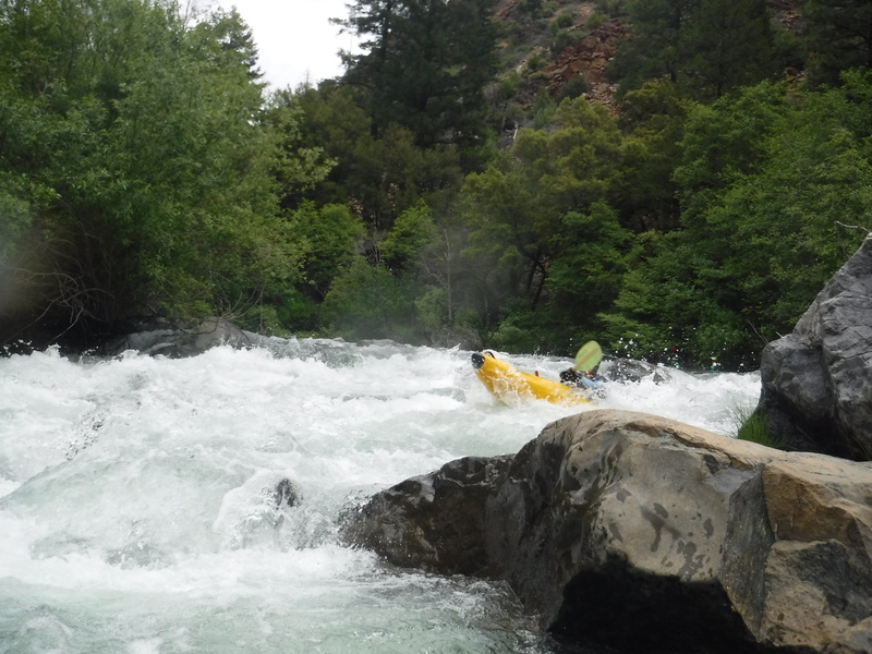
Long rapid that has changed with recent blowouts on river left. Best scouted from the road. The rapid is .5 miles above the Queen Lily Bridge.
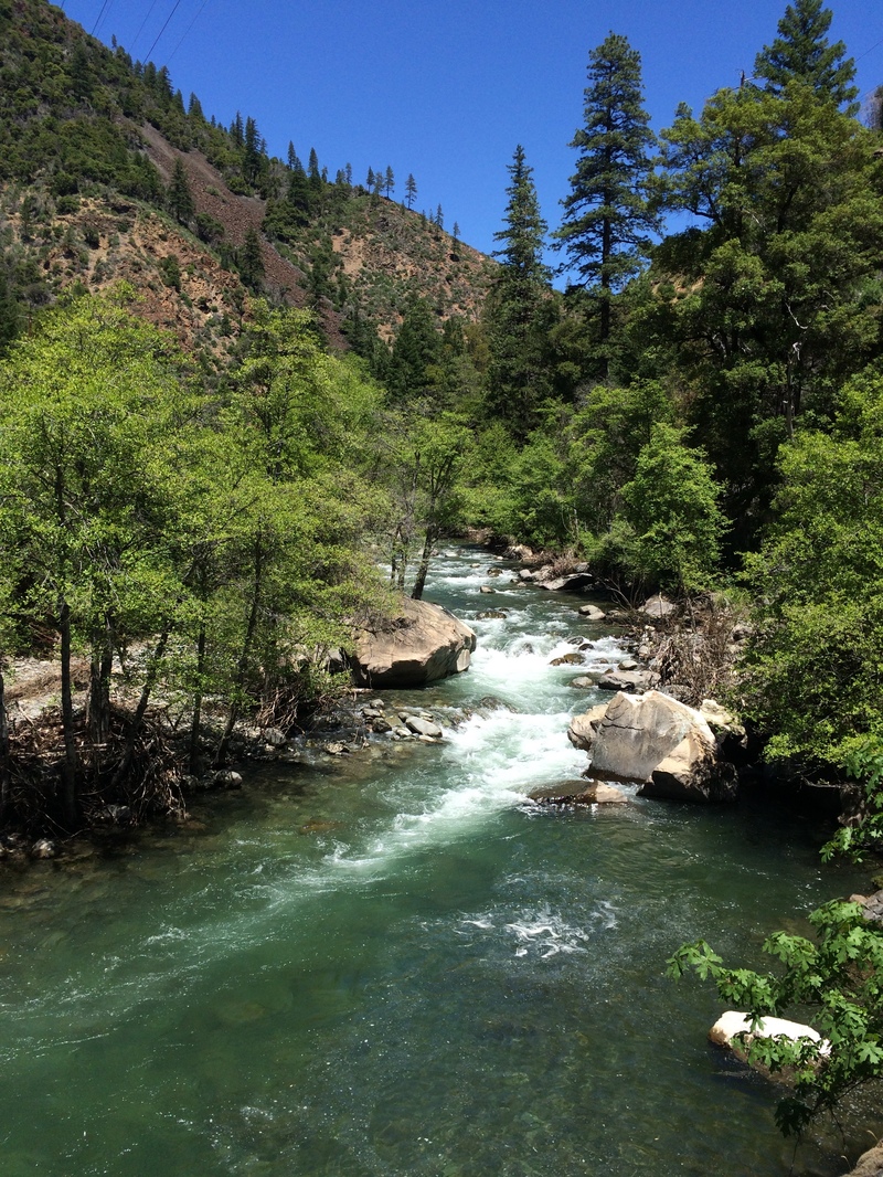
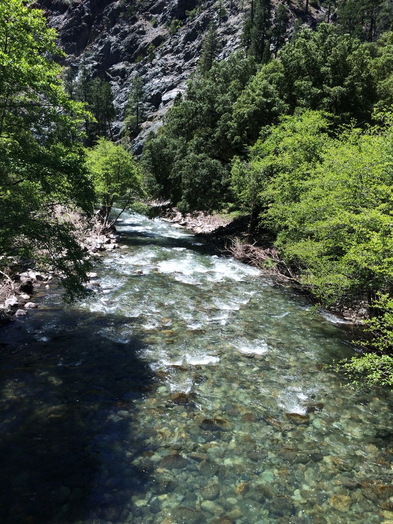
This rapid is viewable from the bridge just upstream of the Queen Lilly campground.
The reach ends at the confluence of the East Fork at Highway 70. As an alternative, you can continue downstream and take out at Belden.
Nov 10, 2024
950cfs
=============================
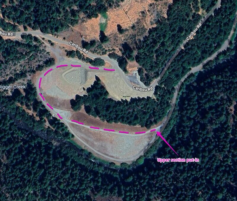
Upper Section: Coordinates for the put-in are 40.0703453800481, -121.16588727684635.
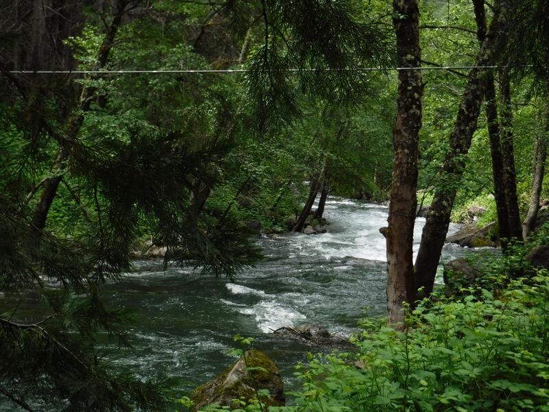
At the put-in, just below the dam, a rope spans the entire width of the river. Launching just above it can feel a bit unnerving, as it hangs fairly low, but it’s manageable. Consider having someone temporarily lift or remove the rope before crossing.
The upper section (about the first 4.5 miles) is probably a Class IV, with very few eddies along the way. While there are plenty of trees in the river, they’re all visible from a distance. The first two miles mostly feature large continuous wave trains, after which the channel narrows, requiring more precise maneuvering to dodge holes at high speed.
=============================
Lower Section (about 3 miles from take-out): Just after crossing the bridge, take a sharp left at the bridge’s end. There’s a daytime parking area in the trees at this location: 40.04687898839404, -121.21730836259634. This parking area is a bit steep to drive into, we made it with Subarus. You could also just park at the pull out on the road after crossing the bridge.
The lower section is less continuous but still engaging. At about half a mile before the take-out, there are two strainers right after another. The first spans nearly the entire river width, with an opening on the right side. The second strainer follows immediately after on the river right side. A hard ferry left after passing the first strainer is needed to dodge the second strainer.
=============================
with Sophie, Noelle, Spin, Mark, Lucas, Renee, Scott(s)