Russell Fork
1. Bartlick Bridge (VA 611) to Garden Hole Road (Breaks Park)(Upper Russell Fork)
| Difficulty | II-III+ |
| Length | 3 mi |
| Avg Gradient | 26 fpm |
| Gauge | Russell Fork Gorge |
| Reach Info Last Updated | September 29, 2025 |
The Russell Fork from Bartlick Bridge to Garden Hole makes for a nice intermediate whitewater paddle for those not comfortable running the more challenging Russell Fork Gorge section. There are several nice rapids in the Bartlick to Garden Hole reach which is sometimes run in conjunction with stretch from the Flannagan Dam on the Pound River tributary during the annual fall whitewater releases every weekend in October.
Check out RussellFork.info for a wealth of info & photos.
Following VA80 east towards Haysi, VA look for VA611 on the right about 5-6 miles past the Breaks Park. Follow VA611 till it crosses the Russell Fork at the Bartlick Bridge.
To put in at Flannagan Dam on the Pound, continue driving across the bridge, and in a mile or so bear left toward the dam.
If there is enough natural flow in the Russell Fork, you can put in at Haysi. Stay on VA80 into Haysi. Do not turn off the road (VA80 veers away in downtown) and follow the river through downtown. The road continues on river right past downtown, parking is about a half mile from downtown on the left side of the road across from an appliance store.
Driving east from the Breaks Interstate Park on VA80 look for the gravel Garden Hole Rd on your right. This is a steep in spots road (2-wheel drive is ok but if it's raining the mud might make it interesting for some) that is often used as a putin for the RF Gorge section.
Oct 22, 2014
Oct. 18, 2014. The Haysi gauge read 401 CFS. We put on behind the pharmacy in Haysi and had plenty of water down to the confluence with the Pound.
This gave us about 2 1/4 more river miles than putting on at Flannagan Dam. We missed the surf spot where the Pound takes that sharp left turn, but we gained two blind ledges and several Class II or II+ rapids, so it was a much more full river day that putting on at the dam, with a far, far shorter shuttle.
Below the Pound we had 1200 CFS and all the rapids were a little washed out, a little less technical, and a little less interesting than at the ~800 CFS release with nothing coming in from natural flow.
-Oci-One Kanubi
Jun 26, 2007
In October, 2006, the RF in Haysi was running around 700-800 cfs, which put about 1200 cfs into the Gorge with the output from the Pound river (they reduced the normal flow). We putin outside of Haysi, and had a very nice run (class II-III with two 3-4+ ft ledges back-to-back that were a little bony). We took out at Garden Hole after running the usual section from Bartlick bridge on down. It made for a trip of about 8 miles or so that was very enjoyable and very much preferable to the Pound river.
Oct 6, 2001
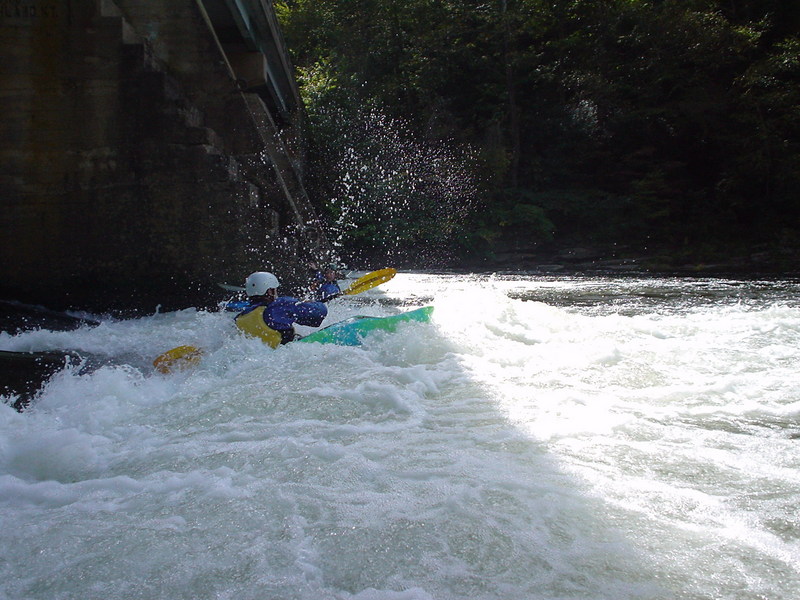
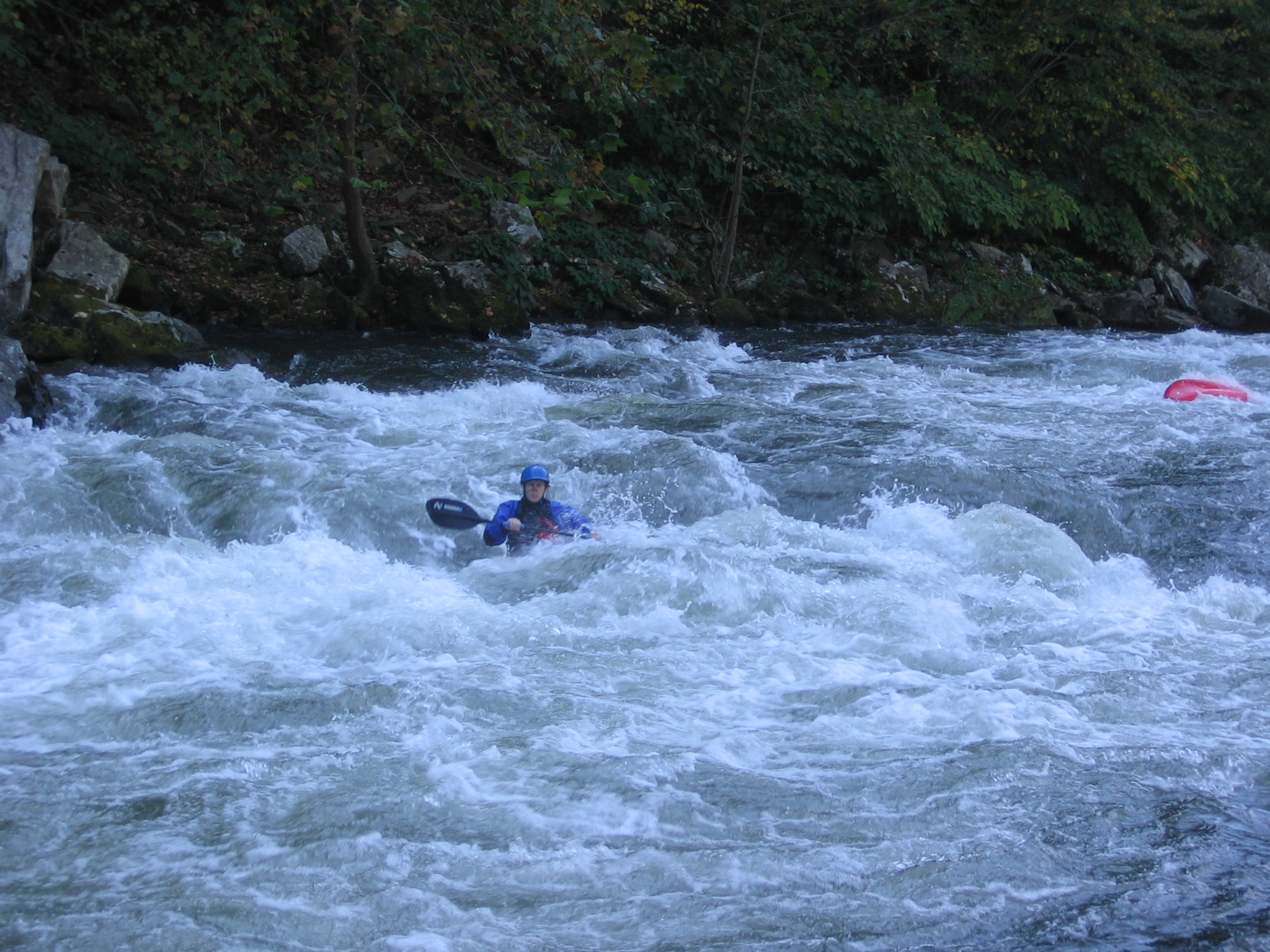
Wide/ high shot from river left
showing the top 2/3rds of the most
significant rapid of the Upper Russell
Fork
It happens to the best of us. Not sure
who this is but he ended up
swimming the entire rapid and then
on down to the next small drop
before finally getting to shore.
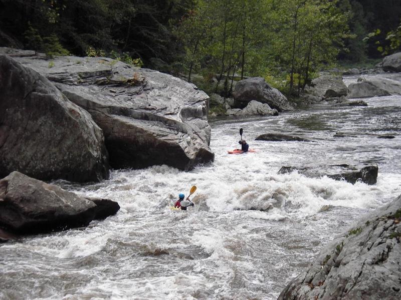
A follow the leader kinda group. Don't
know who these folks are but they
were into major 'tailgating'.
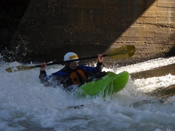
Donny making the first moves in the
top part of 20 Stitches rapid.
Making it look easy in the bottom
wave of 20 Stitches.
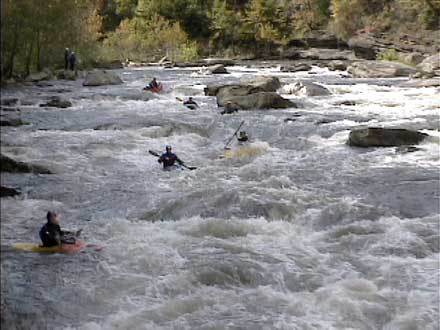
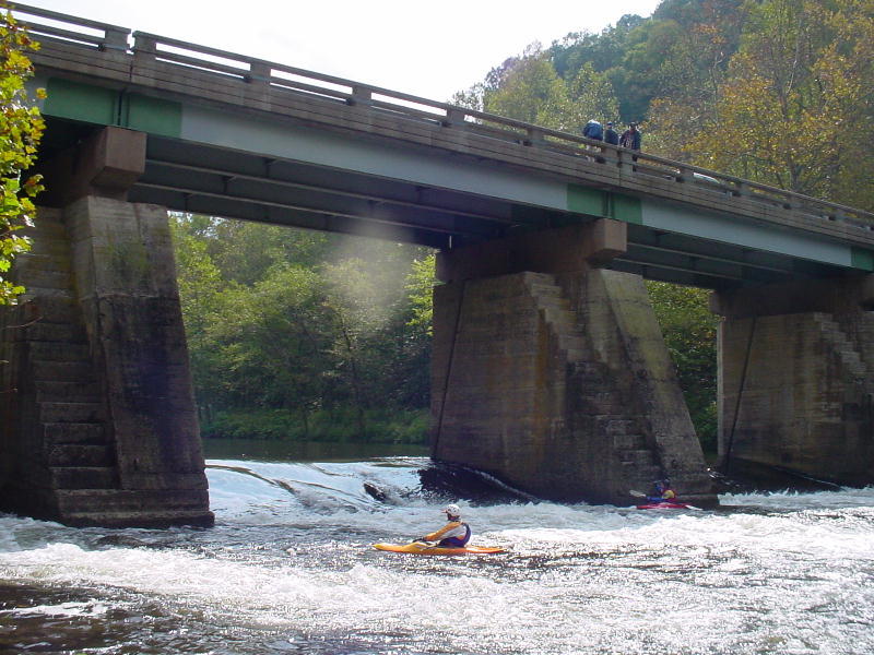
Looking downstream from 20
Stitches rapid to the next small drop.