Chehalis
2 - Pe Ell to Doty
| Difficulty | II |
| Length | 6.1 mi |
| Avg Gradient | n/a |
| Gauge | Chehalis River Near Doty, Wa |
| Flow Rate as of 43 minutes | 52 cfsbelow recommended |
| Reach Info Last Updated | April 17, 2026 |
American Whitewater is strongly opposed to any new dam on the Chehalis River. A 250-foot high and 210-foot wide dam with a 720-acre reservoir is being considered for the Chehalis River as a response to flooding in the basin. While modeling suggests the dam would reduce flood impacts, it [...]Read More
Lat/Longitude data are very approximate.
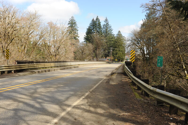
The Highway 6 bridges is located a mile marker 28. The access is a steep and muddy trail that begins on the upstream river left side of the bridge and continues to the water's end under the bridge.

In Doty at Highway 6 mile 33.1 turn north onto Stevens Road. Follow it 0.3 mile and then turn left on Elk Creek Road and follow it 0.2 mile to the bridge. Parking available on the upstream river right side of the bridge along shoulder. The best access to the river is on the upstream river left side of the bridge.
Mar 21, 2026
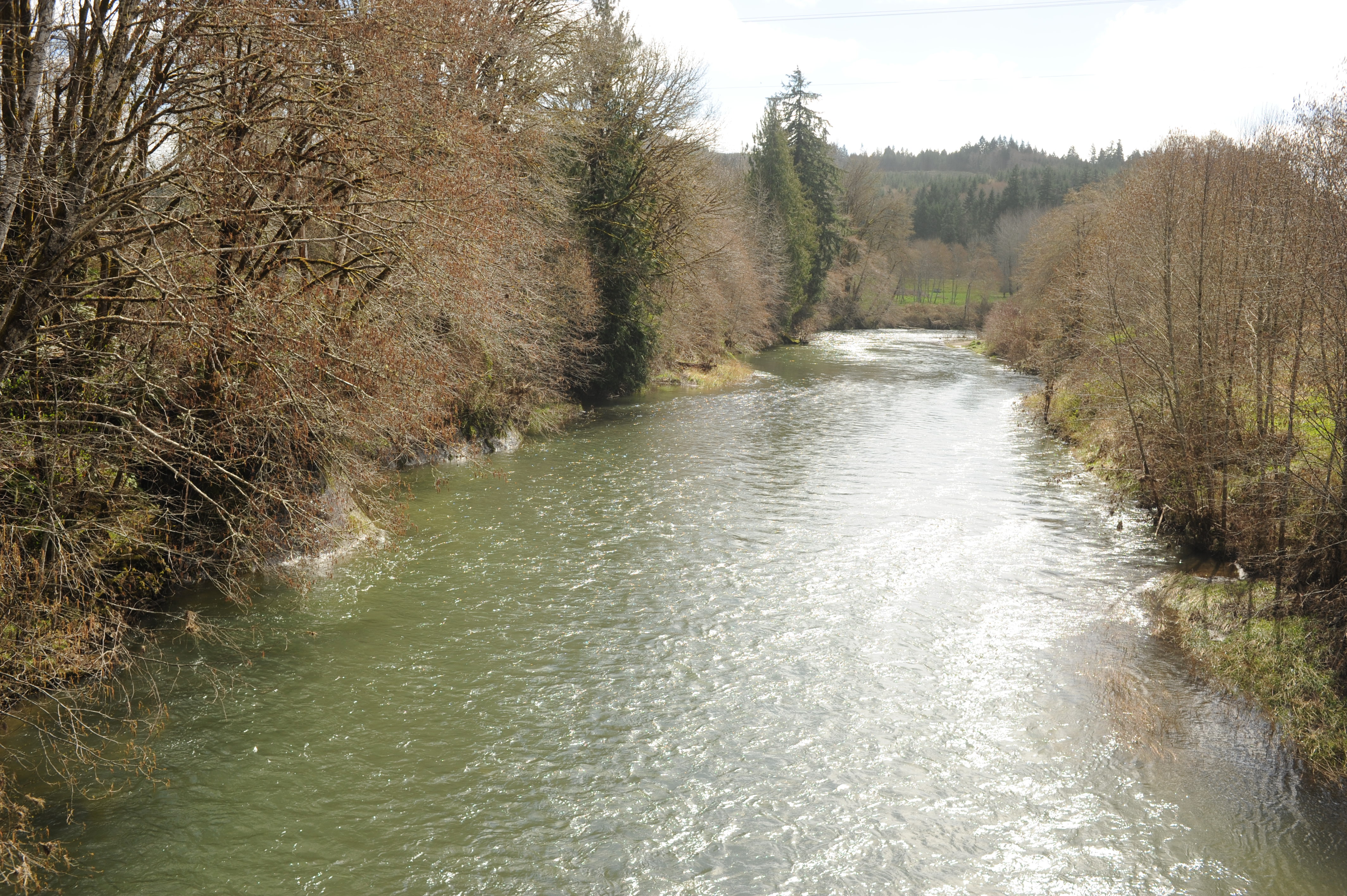
Photos of access sites on a drive up the river.
Mar 24, 2024
Floated in a packraft with gauge showing just below 500cfs. Only two issues, one with trees down halfway through the float, and then again just before the take out. Overall very pleasant but I was happy to be in my raft as I find it rides higher than my kayak -- scraped a little bit here and there but that was mostly my poor choice of path.
