Chewuch
3. Five Mile Bridge to Winthrop (The Lower)
| Difficulty | II+(IV) |
| Length | 8.4 mi |
| Avg Gradient | 30 fpm |
| Gauge | Chewuch River at Winthrop, Wa |
| Flow Rate as of 41 minutes | 101 cfsbelow recommended |
| Reach Info Last Updated | July 6, 2022 |
The Methow Valley is one of the most important landscapes in the state of Washington and of national significance for outdoor recreation with a diversity of opportunities for the recreational pursuits our members enjoy. Every spring, whitewater boaters enjoy the experiences on the Methow River, Chewuch River, and Twisp [...]Read More
This a fun run that ends in the town of Winthrop.
The two most significant rapids come near the end and both can be scouted from town. The Fulton Diversion, a former dam that was replaced with an engineered channel forms a signifcant rapid particularly as flows increase but thankfully the hazards associated with the lowhead dam are now gone. The line is down center right. You can check out this rapid by taking the trail from town that heads upstream along the river. The trail crosses the river over a bridge and the rapid can be viewed from river right.
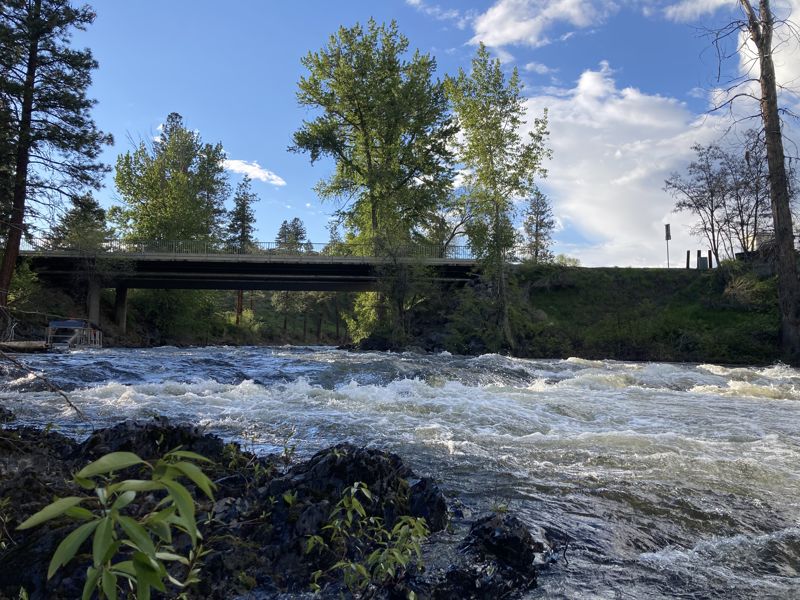
The final rapid is known as the Trapid which can be seen from Highway 20 bridge over the Chewuch; during certain time periods a screw trap used to count juvenile salmon outmigration is installed at this site.
Logistics: On the east side of the town of Winthrop and just downstream of the confluence where the Chewuch joins the Methow, Highway 20 crosses the Methow at mile 193.3. A trail bridge is just upstream of the highway bridge. This is the take-out. To reach the put-in head west through Winthrop and at Highway 20 mile 192.6, and turn north on West Chewuch Road (next to the town ball field and across from the Red Barn). Continue on this road for 6.8 miles and turn right to the bridge that crosses the Chewuch River.
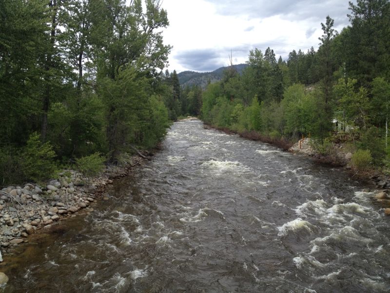
Put in at the bridge where East Chewuch Road crosses the river.
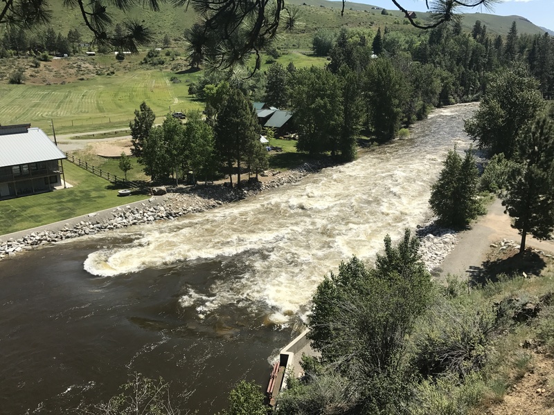
The Fulton Ditch Company's diversion dam was removed and a roughened channel was constructed in 2006. Located at USGS River Mile 0.9.
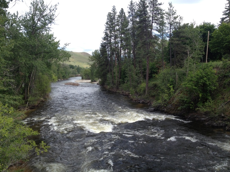
Located in the town of Winthrop right under the bridge. USGS River Mile 0.2.