Dosewallips
2. Elkhorn Campground to Six Mile Bridge

| Difficulty | III-IV+ |
| Length | 5.4 mi |
| Avg Gradient | n/a |
| Gauge | Duckabush River Near Brinnon, Wa |
| Flow Rate as of 1 hour | 0.21 ftbelow recommended |
| Reach Info Last Updated | August 6, 2024 |
American Whitewater is proud to be a leading partner in the Wild Olympics Campaign, a collaborative effort to protect the wild rivers, ancient forests, and salmon habitat of Washington’s Olympic Peninsula. Working alongside conservation and recreation organizations, American Whitewater helped launch this campaign with the leadership of our local [...]Read More
This section of the Dosewallips is a high quality run through a forested setting with a couple of really fun class IV rapids. It flows on heavier rains in the fall and then the winder and snow melt in the spring with a season that is typically from November to June. Low elevation snow can limit access to the put-in. Elevation at the put-in is around 650'.
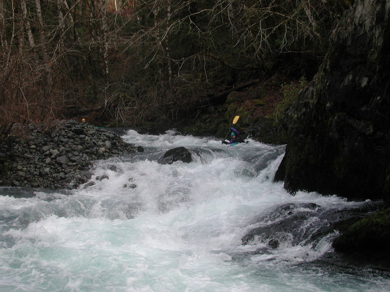
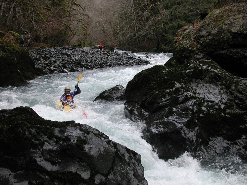
The meat of this run starts near the beginning with The Maze (check out the back cover photo on Gary Korb's Paddle's Guide to the Olympic Peninsula). This challenging class IV+ rapid consists of a boulder garden with a long (~500 yds.) complex series of chutes that have to be negotiated. It's easy to scout from the road on the way to the put-in where you can also decide to put in below the Maze if you wish. It can be difficult to find this rapid at the right level. At low water levels there just aren't many good routes, while there are plenty of places to get pinned. At high water things get a little fast and hairy (it doesn't take much to push this to class V).
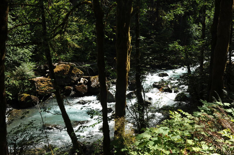
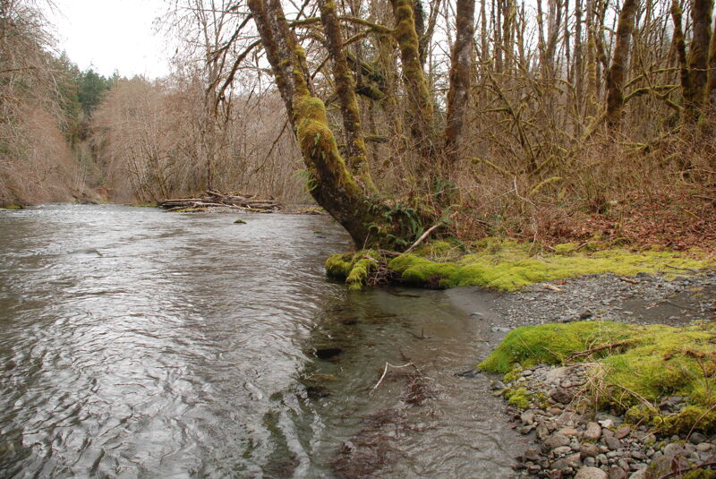
After the Maze, the pace of the river mellows as you pass through a few more boulder gardens and some fun little rapids. The middle section can be a little long at the lower limit of flows if you came for the class IV action, but if you came for just a small shot of class IV adrenaline then the middle section is quite enjoyable and has fantastic scenery on a clear day. Below the washout, there are several miles of good continuous class III rapids making it a good introduction to creeking at the lower range of flows. Wood is always an issue on this run so stay alert.
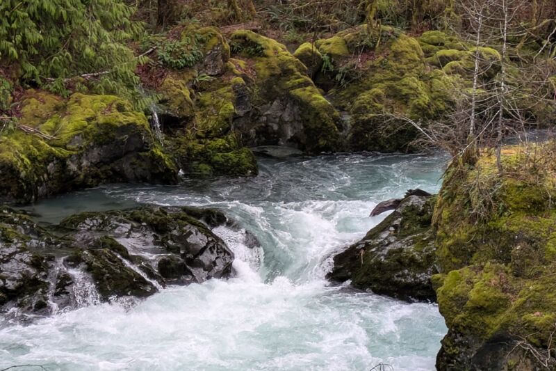
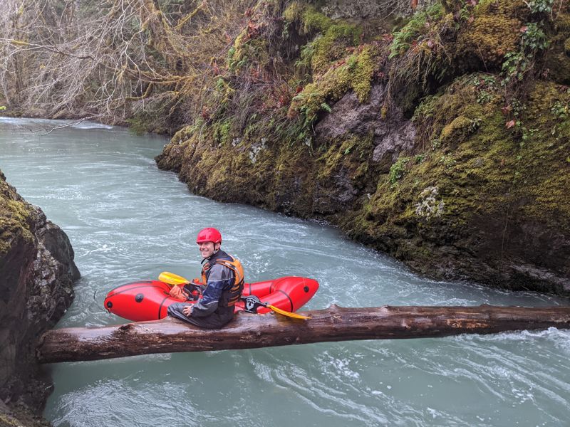
Towards the end of the run the pace picks up again as you approach the Pinch. The rapid above it can be seen as you're driving to the put-in (just upstream of the turn-off for FR 2620). There is a mid-stream island with a good route along either side. The left channel slams into a bedrock wall and then makes a hard turn to the right. The right channel is down a steep couble
...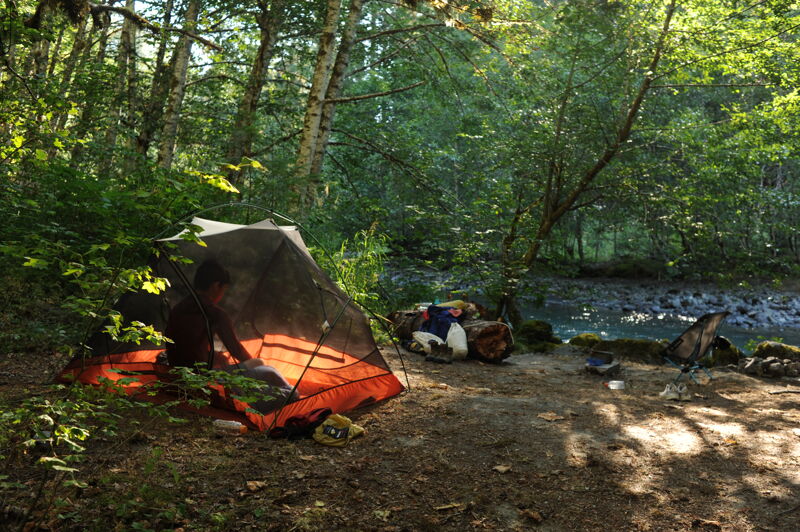
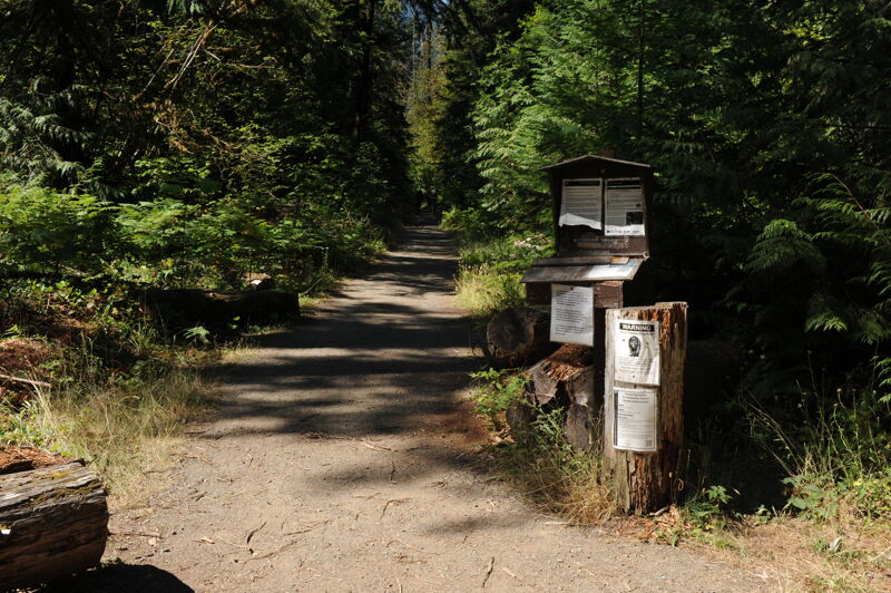
Access to the traditional put-in is on river left at Elkhorn Campground. The campground is no longer accessible by vehicle due to washouts downstream so you have to hike in 2.5 miles to reach the historic access point that marks the put-in for this run at Dosewallips River Road mile 11.0. The campground is not actively maintained but is open to the public and is well used during the summer months by backpackers and bikers.
Technical rapid approximately 1/4 mile in length that can be scouted from the road. Wood hazards can be present. A photo of this rapid graces the back cover of Gary Korb's guidebook to the Olympic Peninsula.
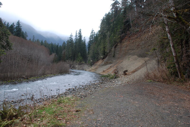
Major washout where 300 feet of road was lost in a January 2002 storm at Dosewallips River Road (FR 2610) mile 9.8. In 2010 the Forest Service completed an environmental analysis to repair the road but never followed through on the project.
A plugged culvert that resulted in damage to Dosewallips River Road (FR 2610) at mile 8.6 makes the river inaccessible by vehicle upstream of this point. From this point on access is available by hiking.
While much of the land along this segment of the run is private property you will find a small parcel of Forest Service land that can be used as an access point. It is a small pull-out at Dosewallips River Road mile 6.3 with a steep carry down to the river. This access is often used by those who want to put-in to run the Pinch before continuing on the lower run. It can also be used as a take-out if the Pinch has river-wide wood hazards.
The finale for the run and a fun drop in a picturesque setting. Please don't take out here and stay within the bed and banks for your scouting as the adjoining land is private property.
The take-out is located on river right just downstream of the Six Mile Bridge on the short Forest Road 2610-010 spur along river right. Please don't access the river at the bridge which is private property. It's a short walk on the old 2610-010 road alignment to the river down this abandoned spur that takes you to the river shoreline and good lowbank access on public Forest Service land.
Dec 23, 2025
Hiked up to the the washout and paddled down to the state park at 850cfs. Fun paddle! Lots of elk and eagles.
Channel spanning wood just above the access point upriver of the pinch. 47.725211,-123.009596
Also a bit of wood wedged against a rock just above the lip of the pinch.
Aug 3, 2024
My son and I went on a fishing, camping, and scouting mission up the Dosewallips River. We drove to the end of the road at mile marker 8.6 and then hiked in to Elkhorn Campground at mile 11.0. We stopped at the washout at mile 9.8 and scouted the Maze along the way. The Maze was pretty clean, but too low at summer flows, with some wood in play throughout. The campground was beautiful and full on a summer weekend with many families taking advantage of this great opportunity to hike or bike in a short distance for a weekend of river-side camping. The old picnic tables and fire rings have been removed and the outhouse is boarded up but the campsites are still clear and open for dispersed camping.
Nov 20, 2021
Fun level to explore the Dosewallips run, ran from the end of the maintained road, (47.741955, -123.050445) to Dosewallips State Park. Took 2 hours. Scouted the Pinch from the 6 mile bridge and didn't see any wood in play, other than one log in the bedrock section that was in slower water. Note, we couldn't see the rapid above the Pinch, from the 6 mile bridge.
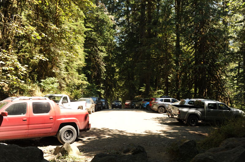
There were 6ish cars at the end of the maintained road parking area. There was not a lot of parking space (maybe 1-3 cars at most) at the 6 mile bridge pull-out.