Hoh, S. Fork
Park boundary to South Fork Campground
| Difficulty | II-III |
| Length | 3.8 mi |
| Avg Gradient | n/a |
| Reach Info Last Updated | May 31, 2019 |
SEASON: Winter rain storms.
DESCRIPTION:
This trip combines the scenery of a large floodplain river, characteristic of the western side of the Olympic Peninsula, but with a bit more whitewater than other comparable runs like the Bogachiel, Hoh, or Queets.
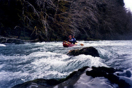
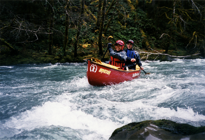
This is a scenic river that starts out in Olympic National Park. The run starts out with some fun class II/III but as you continue downstream you will need to negotiate your way through some log jams. Use caution as the old-growth trees that grow along the river here can result in some massive wood hazards.
The river enters another fun bedrock section as you reach the bridge near the South Fork Campground. You can take-out here (this is the easiest access), or you can continue on down to the confluence with the Hoh. The whitewater is pretty much over at the bridge, but if you enjoy the scenery of a large floodplain river, the Hoh River is a fun trip and you can even continue all the way to Highway 101 if you're prepared for a long day on the water.
ACCESS: At Highway 101 mile 176.0 turn onto the Clearwater Correction Center Road. Follow this road 6.8 miles to a sign that marks the turn-off to the South Fork Hoh campground and head east down this road. In 2.3 miles you will reach the junction of Maple Creek Rd. and Owl Creek Rd. Continue up Maple Creek Rd. 2.8 miles and turn-off down to the South Fork Hoh Campground. From this turn it's 0.2 miles to a bridge located adjacent to the campground which is a good place to check the water level and also the easiest take-out. To reach the put-in you cross the bridge and continue up along river right for 2.8 miles to the South Fork Hoh trailhead. From the trailhead hike through the second-growth forest on DNR land about half a mile until you reach the National Park Boundary (where the trail starts going back up a steep slope and the forest makes an obvious
...