Matheny Creek
FR 21 Bridge to Q-1800 Bridge (Lower)
| Difficulty | III-IV |
| Length | 3.8 mi |
| Avg Gradient | n/a |
| Gauge | Queets River Near Clearwater, Wa |
| Flow Rate as of 1 hour | 527 cfsbelow recommended |
| Reach Info Last Updated | May 20, 2025 |
American Whitewater is proud to be a leading partner in the Wild Olympics Campaign, a collaborative effort to protect the wild rivers, ancient forests, and salmon habitat of Washington’s Olympic Peninsula. Working alongside conservation and recreation organizations, American Whitewater helped launch this campaign with the leadership of our local [...]Read More
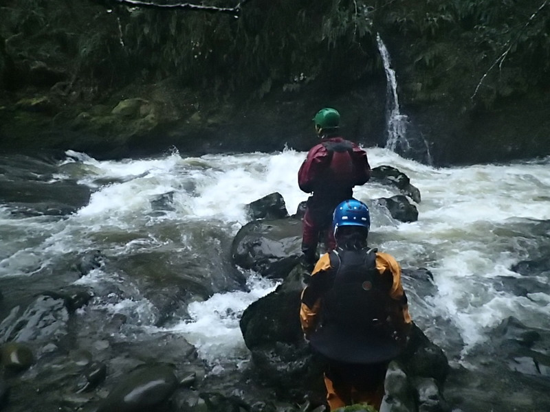
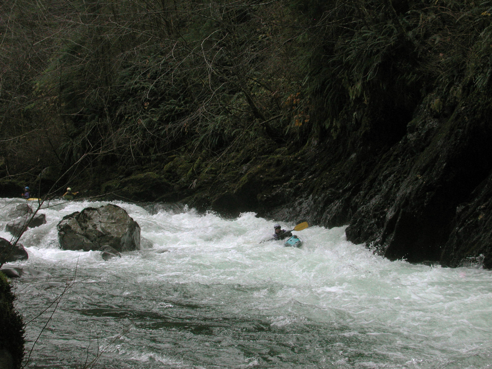
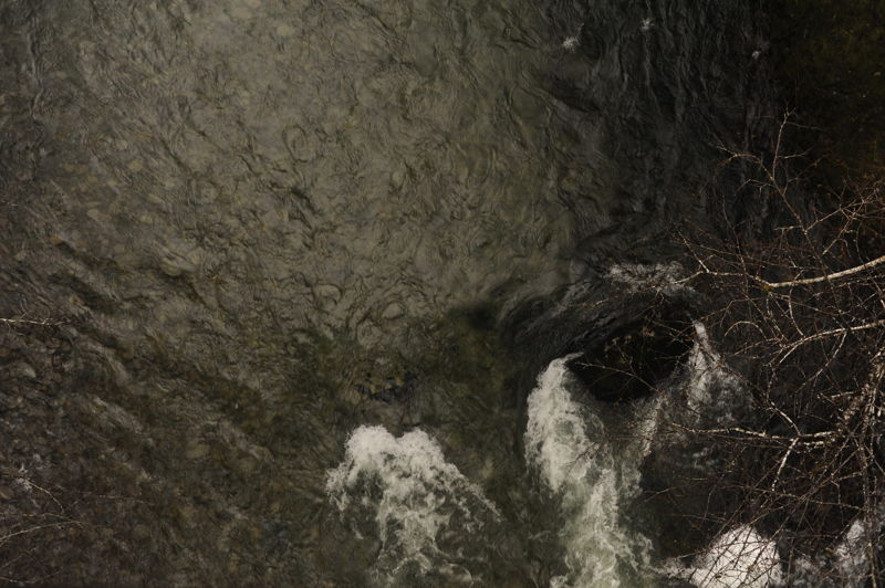
Although a short run by itself, the lower section of Matheny Creek is a great intermediate creek run with class III and IV whitewater. Another bonus is that the bedrock gorges have good water even at relatively low levels. You can lengthen this run by combining it with the middle section which contains some good class III whitewater (see descriptions for upper and middle sections). The first gorge consists of several III+ rapids packed together for nearly continuous action with a couple of spots requiring class IV moves. At higher levels these rapids can become class IV, but everything is fairly straightforward for those with good boat scouting skills. The action tapers off slightly through a short stretch before you hit the second gorge. This gorge is similar in nature to the first but slightly longer with several more fun class III+ rapids. It ends with two IV- rapids that require scouting (at least to check for logs). The first is 'Call 911', a ledge that drops into a set of holes on river left and the second is 'Bowling Ball', a narrow chute with a 15' diameter 'bowling ball' complete with giant-size finger holes on river right. After this drop the river serves up a few more fun class III rapids before tapering off for the final time as the takeout bridge comes into view.
Access: At mile 137.5 on Highway 101 take FR 21 east (this is also marked as West Boundary Road). Follow FR 21 to mile 7.9 and the put-in bridge across Matheny Creek (parking upstream river right). Continue to mile 8.2 on FR 21 and turn left onto FR 2180. Follow this road 0.2 miles and turn left on Q-2000. Follow this road 2.6 miles to the takeout bridge across Matheny Creek (it actually becomes Q-1800 about 1 mile into this drive as you make a hard left turn at a gate that blocks continued travel on Q-2000). Parking is upstream river right but the best access is downstream river left and you can park
...
Trips begin by looking down over the upstream side of the Forest Road 21 Bridge to check the gage rocks. You can scramble down on river right under the bridge or hike down an informal trail that leads down to the river from the small parking area and dispersed campsite on the upstream river right side of the bridge.
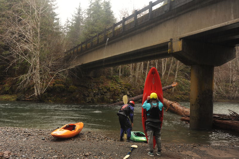
A good take-out is available on river left where you can get out on a gravel bar and walk up a short path to the road.
Nov 27, 2021
We caught a dip in the hydrograph between storms over Thanksgiving weekend and found great flows for Lower Matheny Creek. Flow on the Queets was 10,400 cfs at 10am and 10,300 cfs at 1pm. The big gage rock visible from the FR 21 Bridge had a few inches showing and the smaller gage rock to the left was covered. We opted for the put-in at the Hook Branch on Middle Matheny and hiked in there to enjoy a few miles of great class III before running the Lower. Everything was clean with the exception of a few pieces of wood in play that were easily avoided. We were able to duck under the log at the take-out bridge. We were able to boat scout everything. Boaters on the trip included Tom O'Keefe, Omar Jepperson, Boris Startsev, and Leanna Girton.
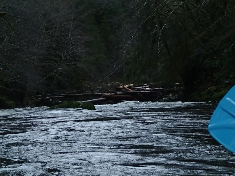
Ran it 12/12/18 with 15,000 cfs and dropping. The log jam from 2016 is now passable on the left. As you pass, there is still one river-wide log that was about 6-7 feet above river level. This may become an issue at extremely high water. Other than that, no hazards.
Nov 21, 2016
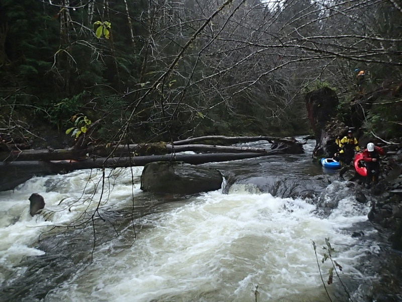
11/20/16, 8000cfs Queets. we were able to catch a blind 1 boat eddy far river left downstream of a large rock wall, and portage from there, rather than catch the first visible eddy from upstream. What you can not see from this picture, is a large root ball downstream of what otherwise looks like a clean ledge.
Nov 21, 2016
11/20/2016, 8000 queets. Just behind the small rock wall on river left there was a 1-boat eddy that can be caught to make the portage shorter. But there is no way to clearly see it from upstream. Below that eddy is a drop that leads into a root ball (also not visible from upstream in this pic)