Skokomish, S. Fork
Browns Creek to Vance Creek (Gorge Run)
| Difficulty | IV-V |
| Length | 11.3 mi |
| Avg Gradient | 36 fpm |
| Gauge | South Fork Skokomish River Near Union, Wa |
| Flow Rate as of 1 hour | 113 cfsbelow recommended |
| Reach Info Last Updated | May 19, 2025 |
Every year fall rains usher in another flood season for the Skokomish River and Seattle's local television stations show footage of salmon crossing the Skokomish Valley Road. Logging in the headwaters has likely been at least partly responsible for the increased flooding that seems to get worse each year. More than half of the South Fork Skokomish watershed has been logged in the past 40 years and the density of logging roads is among the highest in the nation. Failure of these logging roads has significantly increased sediment loads so that the river bed in the lower watershed is actually increasing in elevation. Coupled with this increased sediment, the diversion of North Fork Skokomish waters from Cushman Reservoir means that total power available to move the sediments out to Hood Canal is now reduced. The result of all this sediment sitting in the river channel is a river that constantly over tops it's banks. It's not uncommon to see salmon carcasses on the road or in the fields after the flood waters subside. The flooding has little direct impact on paddling opportunities which are available in secluded bedrock gorges upstream. Use caution however as you do not want to be in the gorge when flows are rapidly increasing.
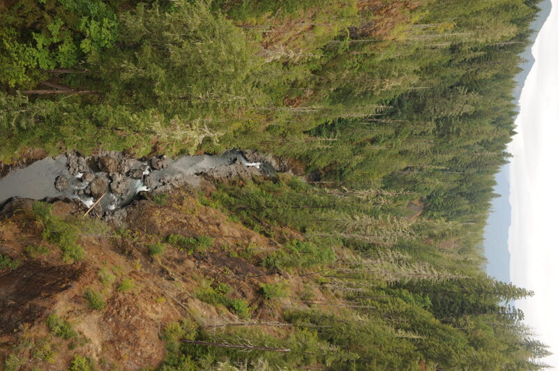
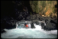
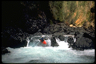
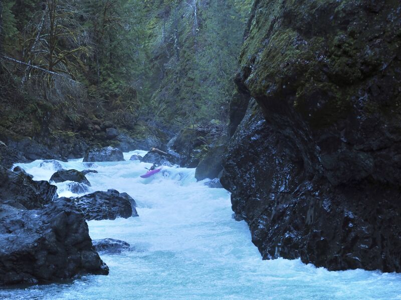
The river has two great gorge sections where massive chunks of the bedrock walls have broken off to form challenging rapids. It's a long run and you want to give yourself plenty of time. Outside the gorges the river is class II but at recommended flows the river moves quickly and the scenery is enjoyable. Since this river normally runs during the short days near the winter solstice, an early start is highly recommended. Keep in mind that this is an 14 mile run and you might consider camping at the put-in or grabbing a hotel room in Shelton.
The run starts with a couple miles of easy paddling as you approach the first gorge. Here you pass through some really interesting geology as you paddle through old lake bed sediments from when
...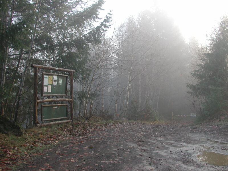
Access on river right at the Oxbow Area. It will likely require hiking down the spur road to the river which is typically gated at the top.
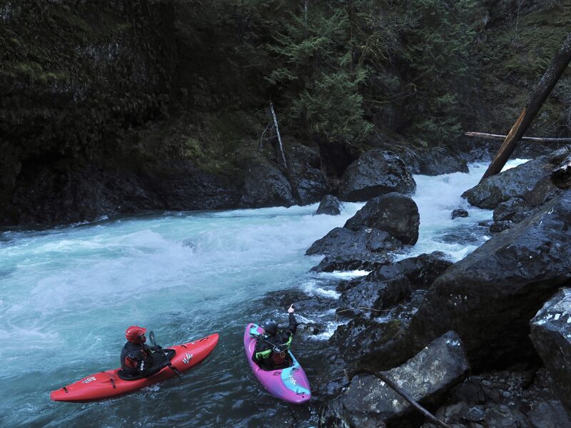
Entrance to the canyon that is difficult to scout. The standard line is starting center and charging through a slot on the bottom right.
Most of the flow heads river left and plunges into a significant hole. At medium and low flows you can scout and portage on the right. At higher flows, the portage is cut off and you must scout from the left but a sneak line comes in on the right.
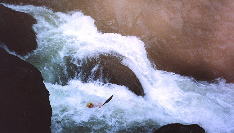
Bobbing for Butler is typically scouted on the left. There is quite a lot of action in this rapid which consists of a fun, long sequence of ledges and holes.
The final class V- drop on the run is Mr. Toad's Wild Ride which can be recognized by a fun ledge drop and more huge boulders that nearly block the river.
Pull out at mile 4.5 on Skokomish Valley Road to a pullout just downstream of the Vance Creek Bridge.
Aug 15, 2024
Dec 31, 2023
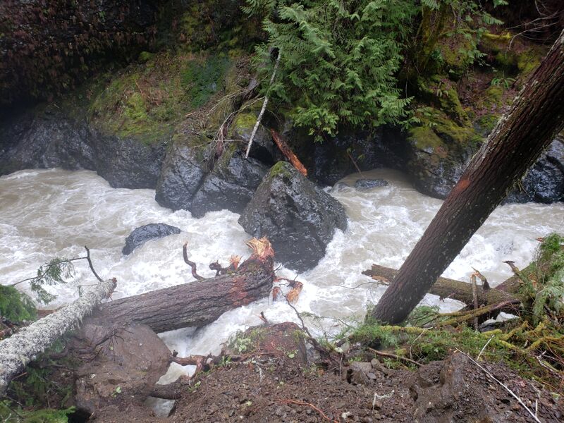
The wood situation has improved significantly and there have been some recent changes to the riverbed.
The wood in the first gorge has cleaned up for now and everything has cleaned up from the recent landslide! It's a bit more of a pinch at the end of the rapid but otherwise it's less of a change than expected.
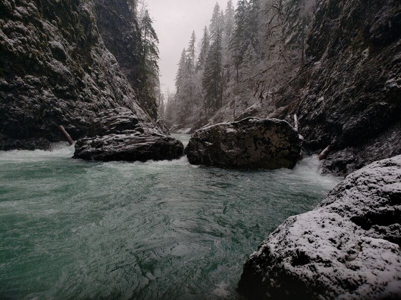
The entrance to the second gorge no longer has the big log across the center-right, and the piece on the left is out of play at moderate flows. You can just bump down the left for a more conservative line at the entrance, though the right now goes.
High steel falls has changed after a recent landslide from the right. The right side entrance is less of a quality option, so the best line is starting left moving center or far right.